Date: May 2, 2018
Time: 2:30 - 7:15 PM CDT
Place: Cheyenne, Gotebo, Medicine Park, OK
Distance: 921 mi (234 positioning, 188 chasing, 499 to home)
Camera: T3i, GoPro3 Black, Sony RX100ii
Warnings: SVR, TOR
Rating: S5
Pre-Chase
10:00 AM - 12:30 PM CDT: After a tough bust missing the Tescott wedge yesterday, today we're looking for redemption. Despite the poor decision to drop south yesterday, we start out today doing the exact same thing - leaving Hutchinson, KS for western Oklahoma.
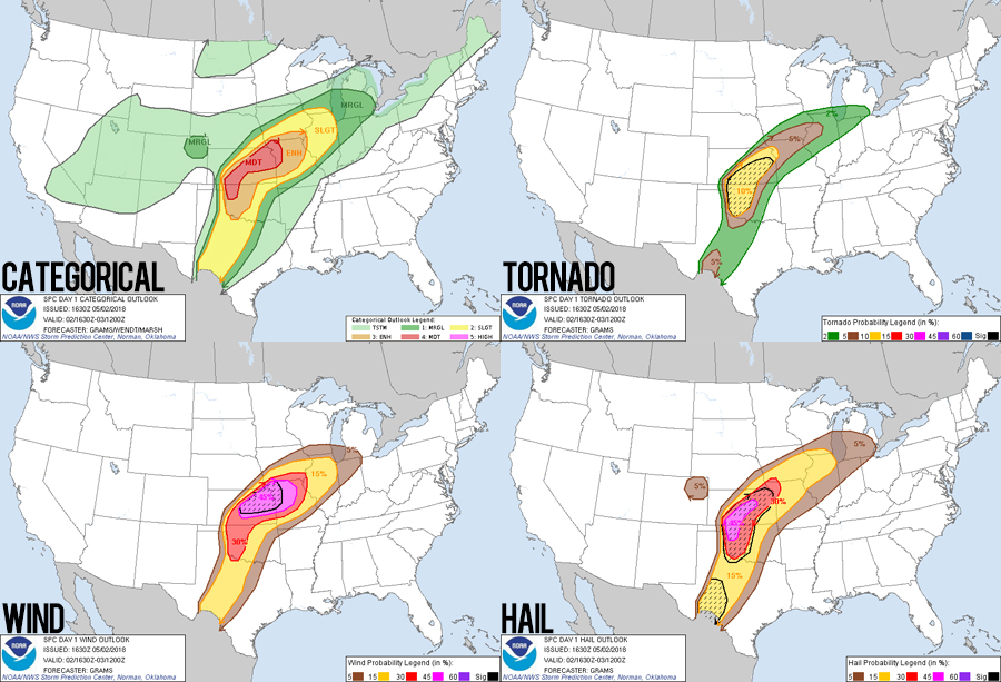
At the upper levels, today's setup looks much like the prior day. The large western trough only nudged a few hundred miles east in 24 hours and the fetch of 500mb flow remains over the same areas as yesterday. At the surface, however, things are a lot different. A stalled SW-NE front stretches across Kansas - exactly parallel the upper flow and promising a quick transition to linear storm modes there. Meanwhile, a N-S dryline is sharpening in the eastern TX panhandle, and after another day of moisture return from the gulf, dryline capping shouldn't be an issue today. Biggest concern is that optimal shear might not arrive until 0z, but otherwise this looks like another synoptically classic dryline day.
12:30 - 2:30 PM CDT: At a quick McDs lunch stop in Alva, Toni's happy meal yielded a sloth bear stuffed animal - our hopefully-good-luck mascot for the day. By 1PM, early storms were underway in SW Kansas. No temptation there. Our target was the newly tor-watched western half of Oklahoma. At 1:30, a special sounding from Elk City showed great moisture, no cap, and slightly better than expected shear. Hopes were sky high, and by 2:17 we were in Arnett, OK ready to drop down the dryline as supercells matured. We didn't have to wait long...
The Chase
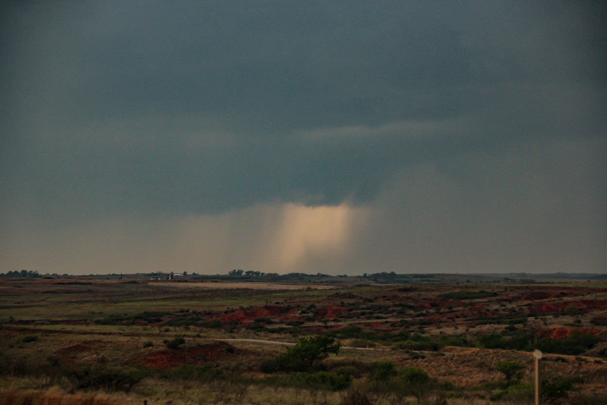
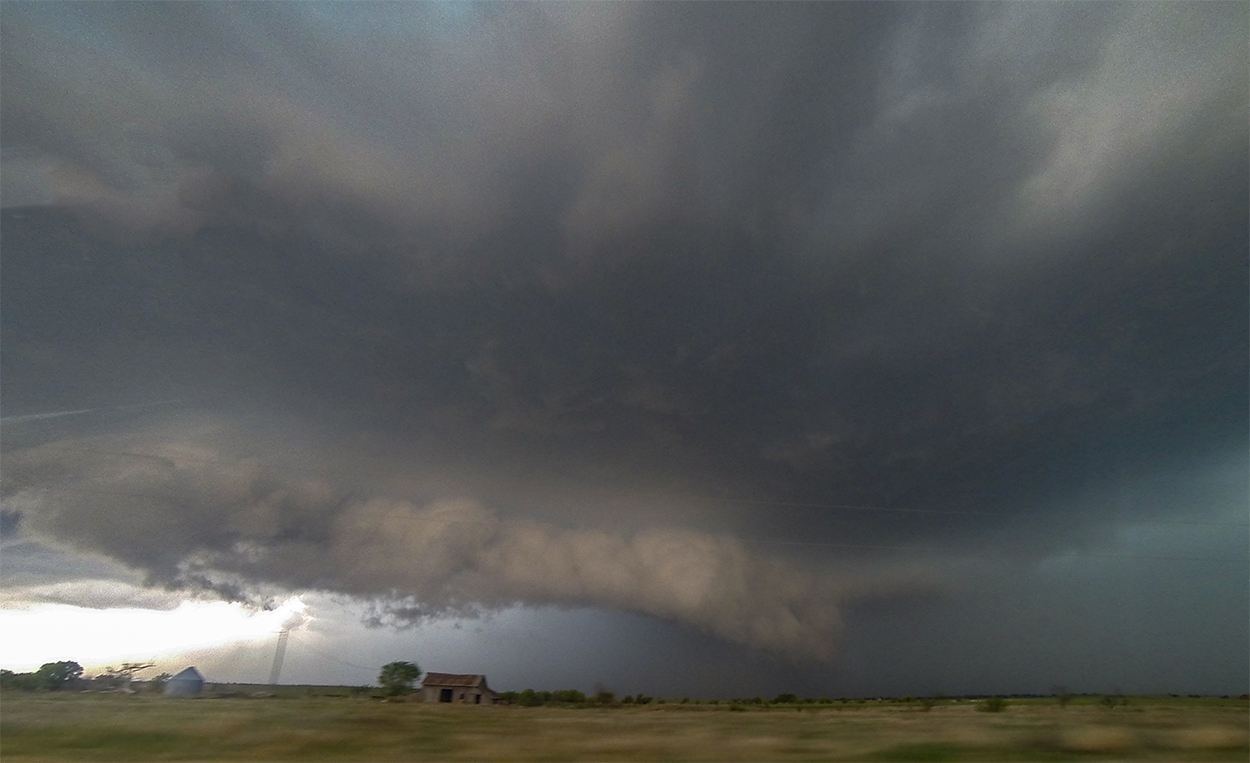
2:30 - 4:20 PM CDT: Sustained dryline initiation was underway by 2:30 as a cluster of updrafts strengthened near Shamrock, TX. We dropped 35 miles south on Hwy 283 to get in front of these storms as they matured and approached Cheyenne, OK. The first hour after initiation is typically the least photogenic as towers evolve into rain-shafts evolve into flat immature cells. Today was no different, and our initial views were grey and grungy.
Our most colorful encounter of the day occurred as an old pickup pulled up while we timelapsed the maturing storms. Out hopped a guy with literally the thickest southern accent I have ever heard. Adding to his authenticity was a pistol clipped prominently to his belt - a little dorkier than intimidating however, as it made me think of an old 90s cell phone holster. The dude was quite friendly, mentioned a reported funnel cloud, said a couple more things that I honestly could not follow, and then was gone - leaving us wondering if we had hallucinated the whole thing.
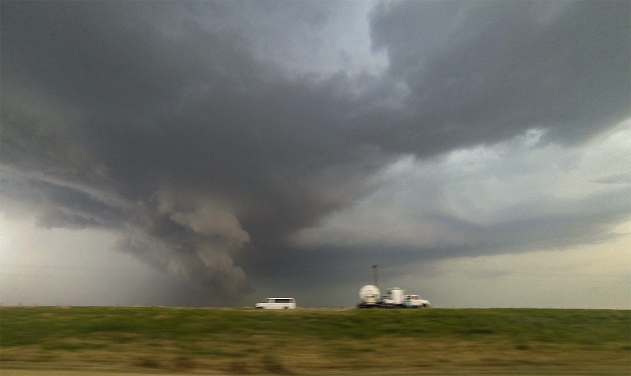
By 3:25, storms had consolidated into a rapidly organizing supercell with proto-hook. Adjusting position just a few miles south put us directly downstream from the updraft region. A hail roar became audible as the forward flank slid just half a mile to our north - optimal positioning! But despite the storm's favorable radar appearance, the base itself presented no signs of deep rotation. Instead, a more linear, surging base generated small wisps and curls of transient rotation, but overall, the cell was not yet ready.
The next 40 minutes were spent in vain trying to keep pace with the storm, but muddy roads east of Cheyenne were not helpful as they wound around gypsum hills and creek crossings - not to mention the lack of cell service. We weren't the only ones having issues. Crowded by new cells from the south, our storm fell victim to destructive mergers, and by 4:20 it was clear we needed a new target.
4:20 - 5:40 PM CDT: As if on cue, the next storm down the dryline went tornado warned over Granite - taking a bit of a right turn and moving ENE. My worst navigation choices always seem to happen when we're north of a supercell: do we go south first and slice in from behind or get ahead first and core punch from the north? Both have their dangers, but in this case Hwy 152 seemed like the perfect runway to race east and then attempt an intercept from the north. And so we charted a collision course towards Gotebo, OK.
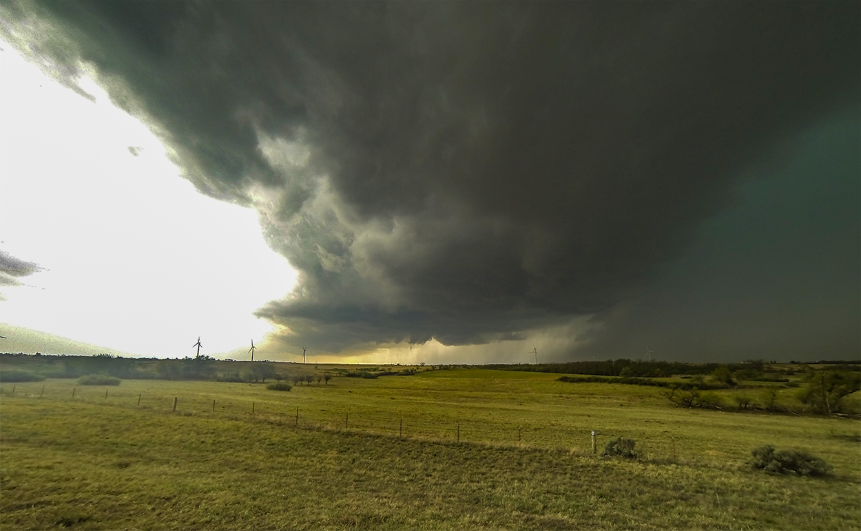
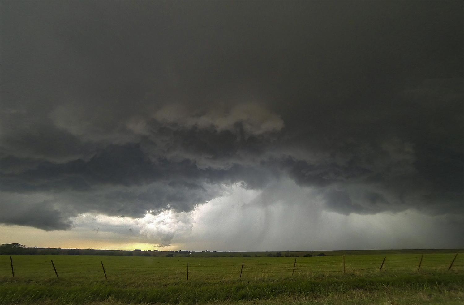
Racing a tor-warned supercell is always a white-knuckled experience, but I felt pretty confident about our timing. Cutting south on Hwy 54 into the depths of the forward flank, we encountered heavy rain but no hail. Another good sign we would beat the hook to Gotebo. And sure enough, at 5:06 we emerged from the core to see an intimidating, arcing base to our WSW. We had won the race, but only by a few minutes.
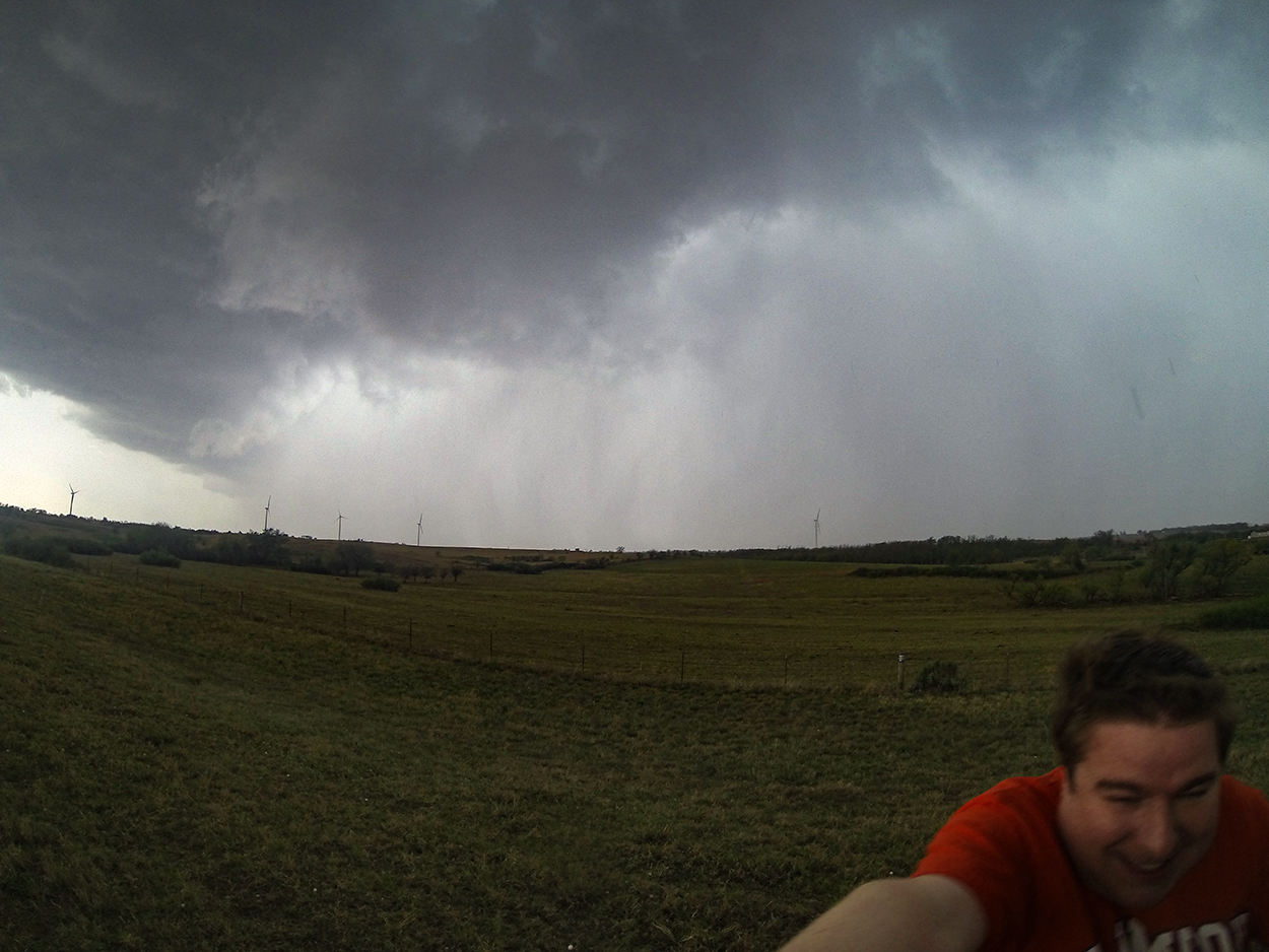
A mile north of Gotebo I turned east onto the dirt grid and stopped for a moment to assess our catch. The air was warm and still - the calm interface about 2 minutes ahead of the surging RFD apex. Localized areas of dust were rising about a mile to our southwest as the straight-line winds slammed in. But tornadogenesis did not appear imminent. In fact, the RFD gust front, which arced many miles from north-to-south, looked like it was surging too far ahead of the parent storm. Was the supercell gusting out just as we arrived?
I'll admit some frustration took hold. All that driving to be in the exact same spot as the last storm. We followed east through Mountain View to Carnegie - occasionally catching a tantalizing lowering to the north where the RFD curled back into the core precip. But by the time we reached Hwy 58, the storm structure and the chaser traffic had me ready for greener pastures... er... stormier meadows... Whatever the metaphor, I needed a new storm.
5:40 - 7:15 PM CDT: The next storm down the dryline was a quick 30 mile jaunt south to Medicine Park. My gut said this play made sense: a maturing supercell (only SVR warned for about 20 minutes) as shear was forecast to ramp up. Plus we could get ahead of it, catch our breath while it moved to us, and probably get a cool vantage point at Lake Lawtonka. It was basically a no-brainer.
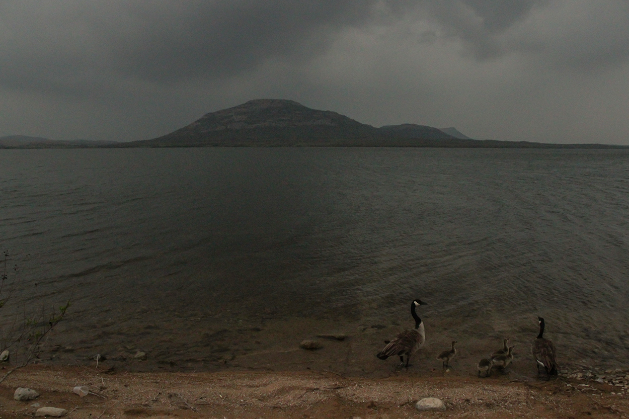
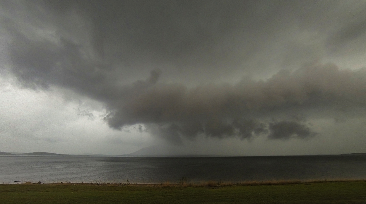
At 6:12, we pulled up to the Lake Lawtonka shoreline with a gorgeous southwest view: the imposing curve of Mt. Scott in the foreground and the approaching supercell darkening the horizon. A family of geese eyed me suspiciously as I began timelapsing the approaching cell. Being 45 minutes ahead of the developing hook was a bit far downstream, but any closer vantage would have us fighting the Wichita Mountains - not worth it. Instead, we simply soaked in the sounds of rumbling thunder and light FFD precip splashing into the lake.
As the 6-o-clock hour progressed, my initial hopes dwindled; rain from a massive HP storm further south threatened to choke off the inflow region of our upstart supercell. By 6:45, overhead skies were darkening but no updraft base or any other discernable supercell structure was in view. I was beginning to think the unique lakeside locale would completely go to waste. Finally, at 6:50 a familiar bright arc emerged from the haze - the RFD horseshoe! Though not as low and scuddy as the previous Gotebo storm, we at least had bearings on the structure. And what happened next was a complete surprise...
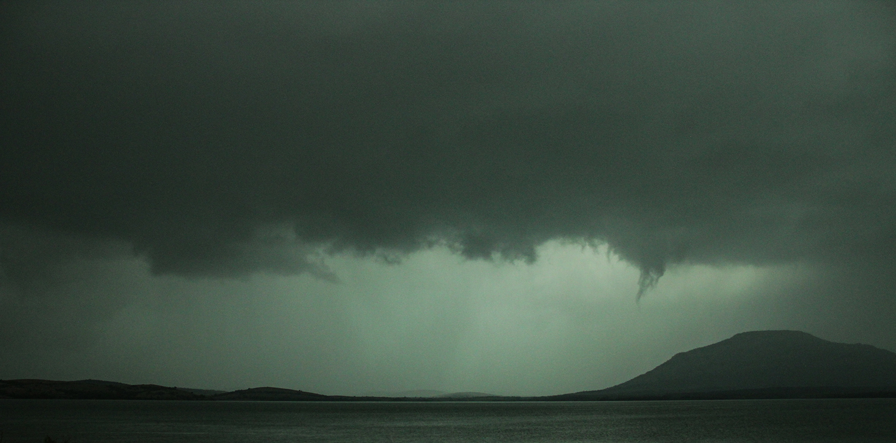
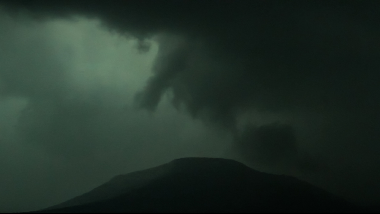
The northern end of the RFD horseshoe lined up precisely with the south flank of Mt. Scott, and at this pinch point a thread of scud began dangling, stretching, and twisting under the broader updraft. It was such a localized streamer of rotation under an otherwise lackadaisical updraft that at first I didn't realize what I was seeing. But after a few seconds, a white circular spray ring appeared on the slopes about halfway up the mountain - a tornado was in progress! Distance and scale are always hard to judge when storm chasing, but the size of even this bird-fart tornado suddenly came into perspective when a car's oblivious headlights appeared on the mountainside - dwarfed by the circulation as it descended blissfully on the summit road. Likely the driver never knew a weak tornado was only a hundred yards south of them.
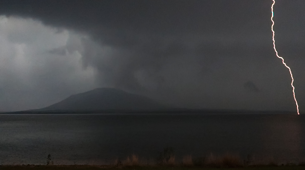
During this surprising appearance, I stood silently transfixed in the moderate rain while Toni filmed inside the Crosstrek. After about 60 seconds as the small tornado was already beginning to dissipate, a massive lightning bolt broke the hypnotic spell - striking the lake's surface over and over just a few hundred yards from shore. I looked over to Toni and no words were needed: time to get in the car. And within a few more minutes, it was obvious the show was over. The storm was gusting out as it crossed the lake. We'd seen the last hurrah of a doomed supercell.
7:15 PM CDT - 2:05 AM MDT: With storms now in full MCS mode, so began the 500 mile drive back to Albuquerque. A trifecta of Monster Energy Drink, Amarillo Taco Bell, and the Nexus Trilogy audiobook were the fuel that powered the final leg of the drive. But one last bit of excitement remained before the trip ended. Hwy 287 east of Amarillo is one of the most heavily patrolled stretches of road anywhere we chase, and between Claude and Washburn I made the n00b mistake of letting my speed drift above the 75mph limit. Sure enough, a Texas Highway Patrol lit up behind us and I instantly knew my dumb error. Just a warning though. Toni is still annoyed how well I can get out of tickets, and I've never gotten one on a chase. We finally arrived safely in ABQ just after 2AM - exhausted and happy to be home after our 3 day chase.
Recap, Filmmaking Notes, and Lessons Learned
- There were a number of tornado reports across Oklahoma and Kansas, but the fact that I haven't seen any other tornadoes on Youtube from today speak to their brief, rain-wrapped nature. Our Mt. Scott tor never made it into the records, and as far as I know, we were the only ones to document it.
- Today's storm failure modes were varied: destructive merger, early gust out, and choked inflow. Even in a classic synoptic setup, the mesoscale matters.
- Whenever I get pulled over (only happened a few times), I always make a point to pull off the shoulder onto the grass, as if we were chasing. I don't know if the cop sees this as a sign of goodwill, giving him plenty of space to stand on the shoulder, but so far it's worked every time ¯\_(ツ)_/¯


