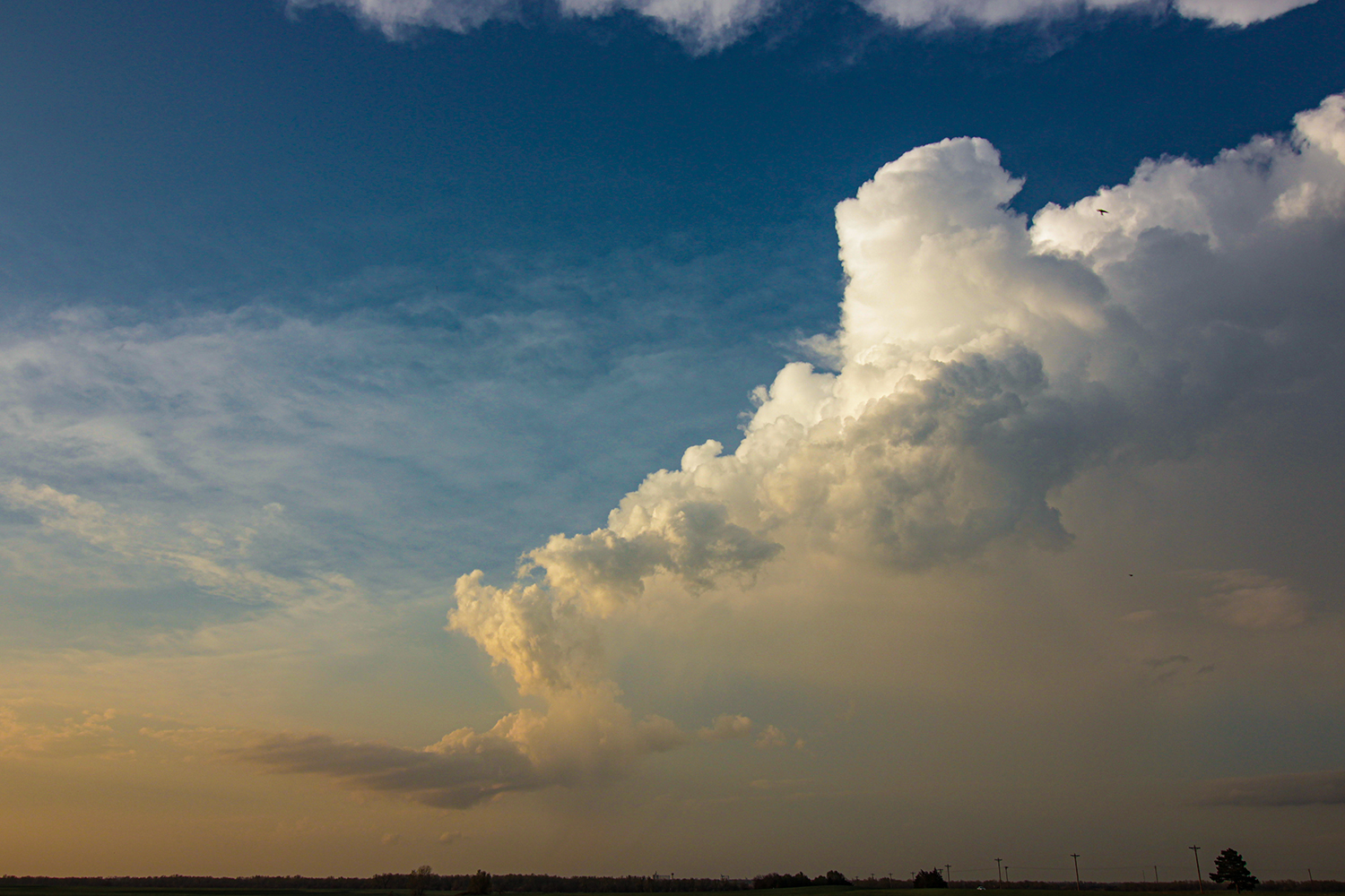
Date: May 1, 2018
Time: 4:11 - 8:30 PM CDT
Place: Rush Center, Susank, Sterling, KS
Distance: 311 mi (140 positioning, 147 chasing, 24 to hotel)
Camera: T3i, GoPro3 Black, Gopro Karma, Sony RX100ii
Warnings: SVR, TOR
Rating: S4
Pre-Chase
10:30 - 11:45 AM CDT: One of our favorite places to wake up on a storm chase is Liberal, KS, because that means breakfast at the Pancake House. We once ate here on back-to-back Mother's Days in 2014 and 2015. Today's breakfast was awesome as always, but I think Toni is realizing the Dutch Baby is just a little too much...
It's so nice to finally stare down a synoptically classic 2018 severe weather setup. Today we have it all: 1) a massive western trough bringing SW flow from Baja California to Minnesota, 2) 50 kts of bulk shear, 3) 2500 J/kg MLCAPE, 4) a Kansas triple-point (TP) with attendant dryline to the south and 5) a cranking low-level jet right at 0z. That said, this isn't necessarily a slam dunk. The EML is a little warmer and boundary layer a little drier than I would like (both probably drought-related issues), so there might be just a narrow window of tornado opportunity near sunset as the LLJ ramps up but before the cap clamps down. Storms could also get crowded and messy near the triple-point, especially since upper-level flow is somewhat parallel to the dryline. So basically, like all severe weather scenarios, today balances on a knife edge of competing factors.
11:45 AM - 2:45 PM CDT: Satisfyingly filled with pancakes, we headed northeast towards our target for the day - nominally LaCrosse, KS. The dryline/TP features were trivially obvious on satellite, so my concern wasn't so much where to target, but which storm to actually commit to. Fearing a messy TP, the plan coming together in my head was to target one storm south along the dryline - a critical bias as the day unfolded.
By 2PM, we stopped to watch the growing dryline Cu from the same pullout where we witnessed the Rozel tornado back in 2013 - hopefully a good luck charm. Cumulus towers grew increasingly agitated as the hour wore on - often adorned with smooth pileus caps. By 2:45, a TOR watch blanketed all of central Kansas. Things were just about to explode.
2:45 - 4:11 PM CDT: My excitement always builds to a fever pitch right before initiation. But once little blips start appearing on radar, my next step is to calm back down - there's still lots of nowcasting to get ourselves on the right storm. I doubt there will ever be a fool-proof trick to picking the right storm early on, but I tend to watch differential reflectivity (ZDR) on radar to pick out the updrafts with the larger, more robust vertical motion. The worst thing you can do is drive towards the first cell on radar with 50 dBZ in blind excitement - the chasing equivalent of scuba diving nitrogen narcosis.
We continued to hold our position around the LaCrosse area, but by 3:45 PM it was really hard to resist this urge to fly north as several storms were already at or near SVR strength. But my real focus was on the new towers in view to our SW along the dryline. And we didn't have to wait long; at 3:55 our consolidating cell went SVR and only 16 minutes later went TOR-warned. We had our storm.
The Chase
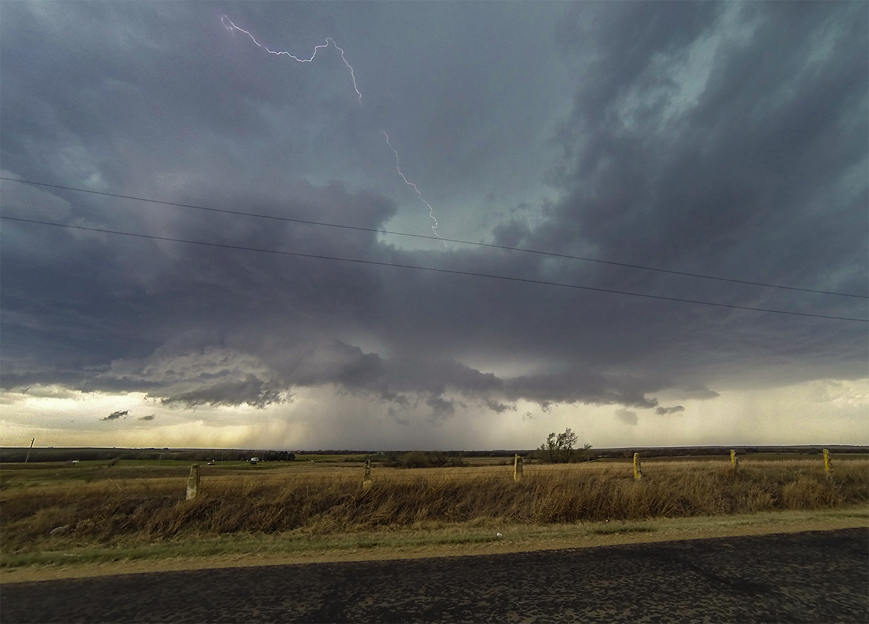
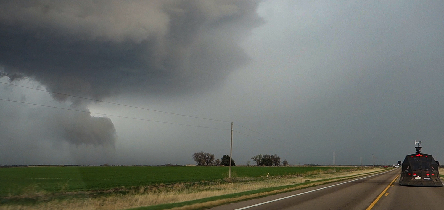
4:11 - 5:17 PM CDT: Already in great position, we dropped 5 miles south to Rush Center, KS - directly downstream from the strengthening supercell. To my surprise, the storm already had a nice lowering (I was expecting flat, high bases this early in the chase). Lightning and rising scud were also ramping up - all excellent signs for a possible early show! But after timelapsing for a few minutes, forward flank downdraft (FFD) rain shafts obscured our view. We needed to #GetEast to regain a visual.
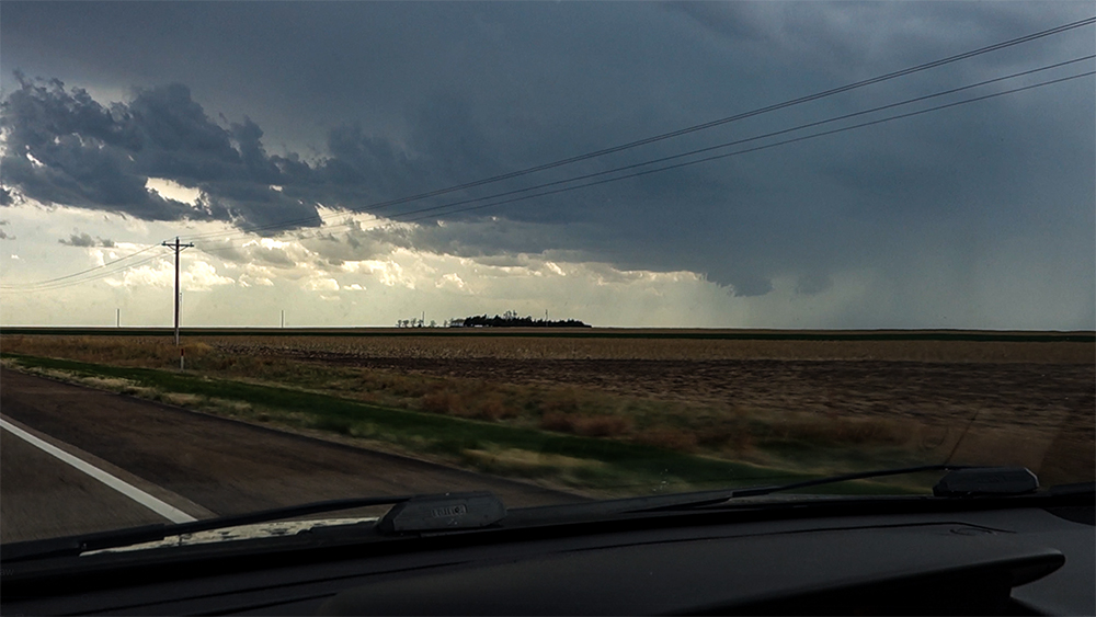
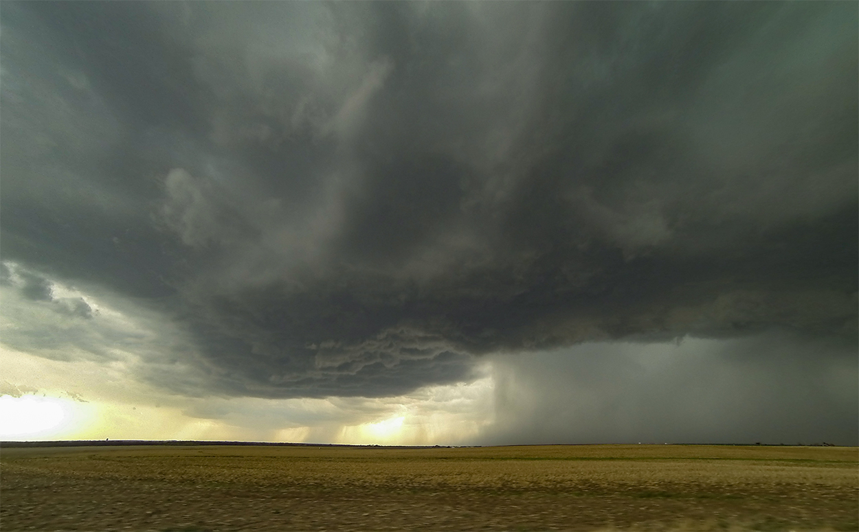
Seven miles east on Hwy 96 we stopped to observe supercell Cycle 1. Perched on a slight rise at the tiny berg of Timken, we had a view over the Walnut Creek hollow with the elongated, shelfy RFD gust front a few miles to our west. Cycle 1 bowed out into a loose horseshoe but never really wrapped up on the north end - seemed like the RFD surge was a little too broad and weak. By 4:49, precip was encroaching so we continued east and then north - clipping the FFD in Otis and picking up some half-dollar hail in the process.
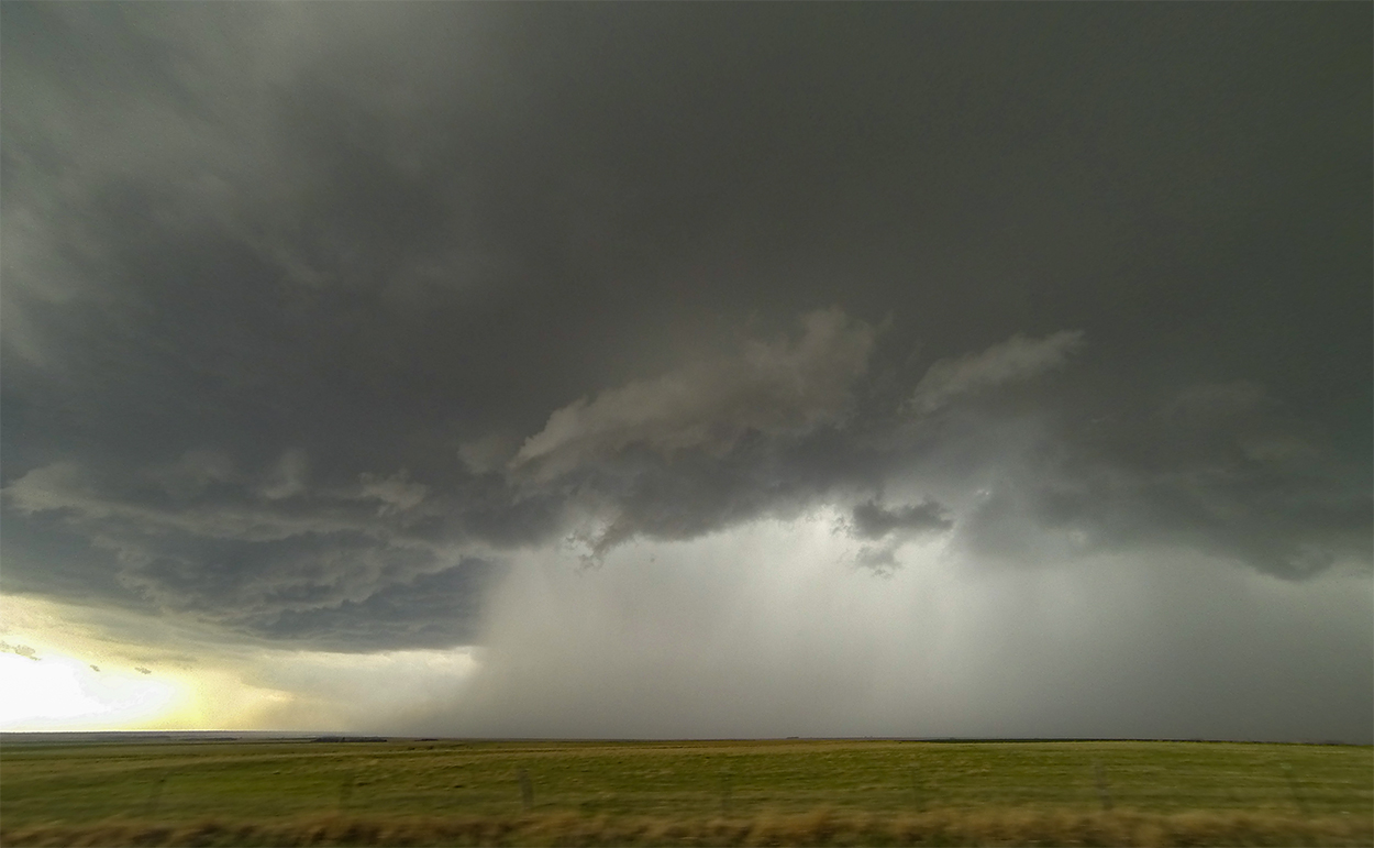
Cycle 2 was brief but a bit more punchy. A small RFD surge poked forward and kicked off some nice cyclonic rotation - nothing yet tornadic but a nice progression after the previous cycle. Most of Cycle 2 occurred while we were driving east of Otis and we only had a brief moment to stop and timelapse - observing some larger hail now wrapping around the meso and being flung south of the gust front. By 5:17 we needed to continue east once again. Cycle 2 was done, but something bigger was in the works...
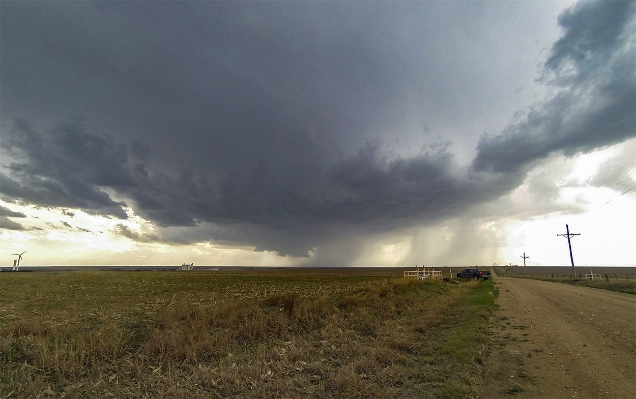
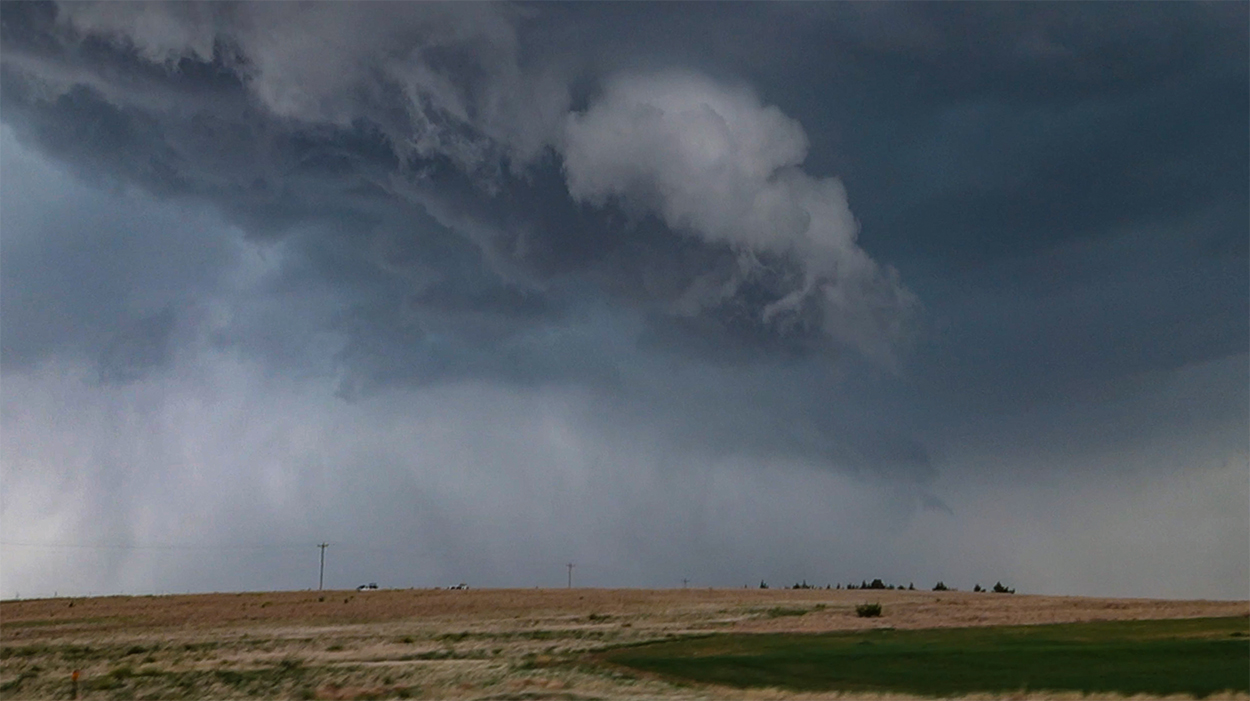
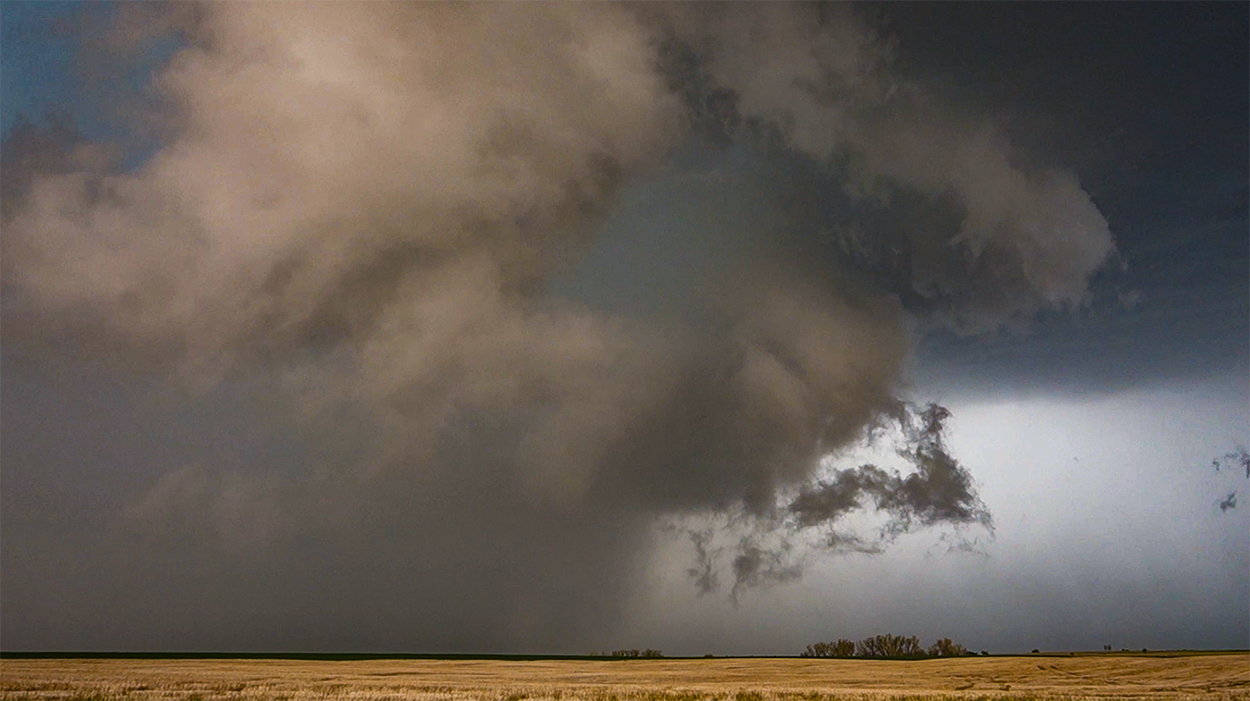
5:17 - 5:44 PM CDT: Chasers funneled together at the hwy 4/281 junction near Hoisington, and we ended up behind Dominator 3 as we headed north. Cycle 3 was imminent with the most robust lowering of the day. In my excitement to get some stills and timelapse, I forgot good chase strategy and pulled to a stop near Susank, KS - placing us about a mile south of the RFD horseshoe instead of further northeast in the inflow notch. We had a few minutes of awesome visuals as the RFD surged forward with low, scuddy tendrils. But like previous cycles, this one quickly filled with rain and we were blind to any developing tornado.
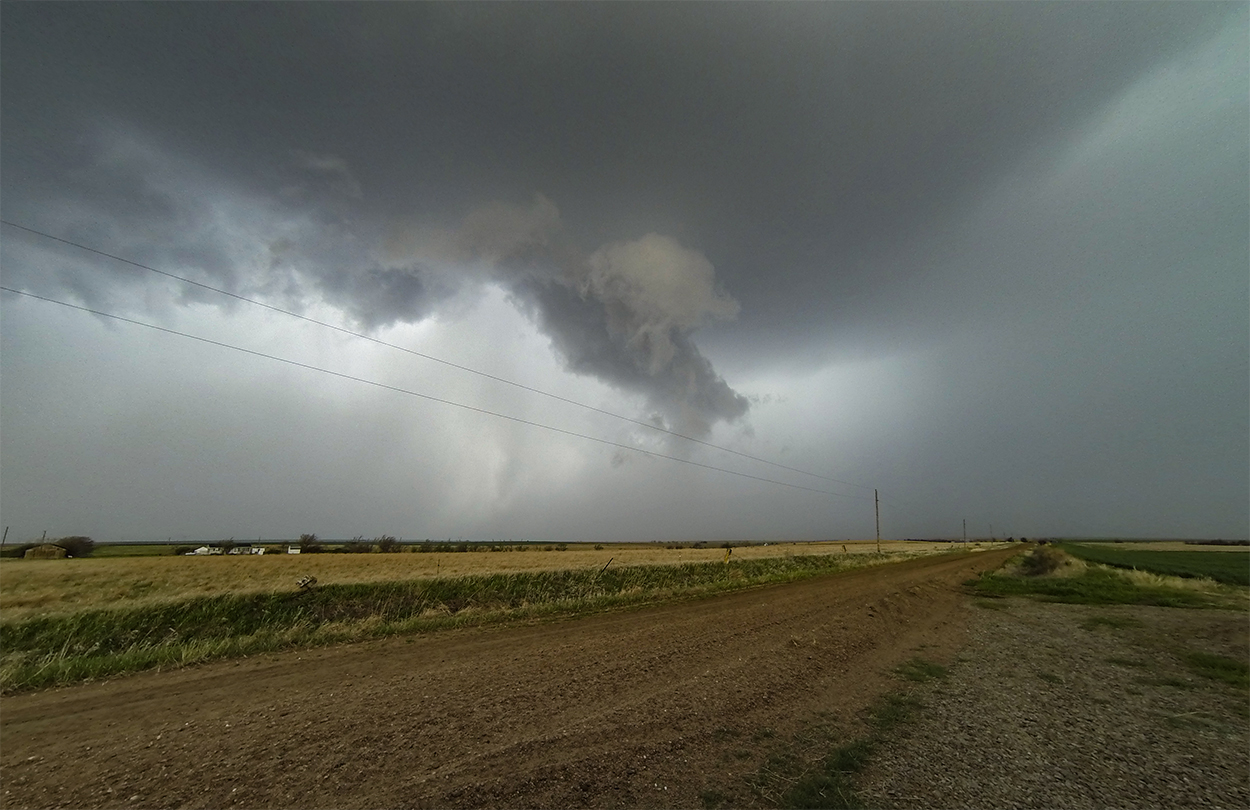
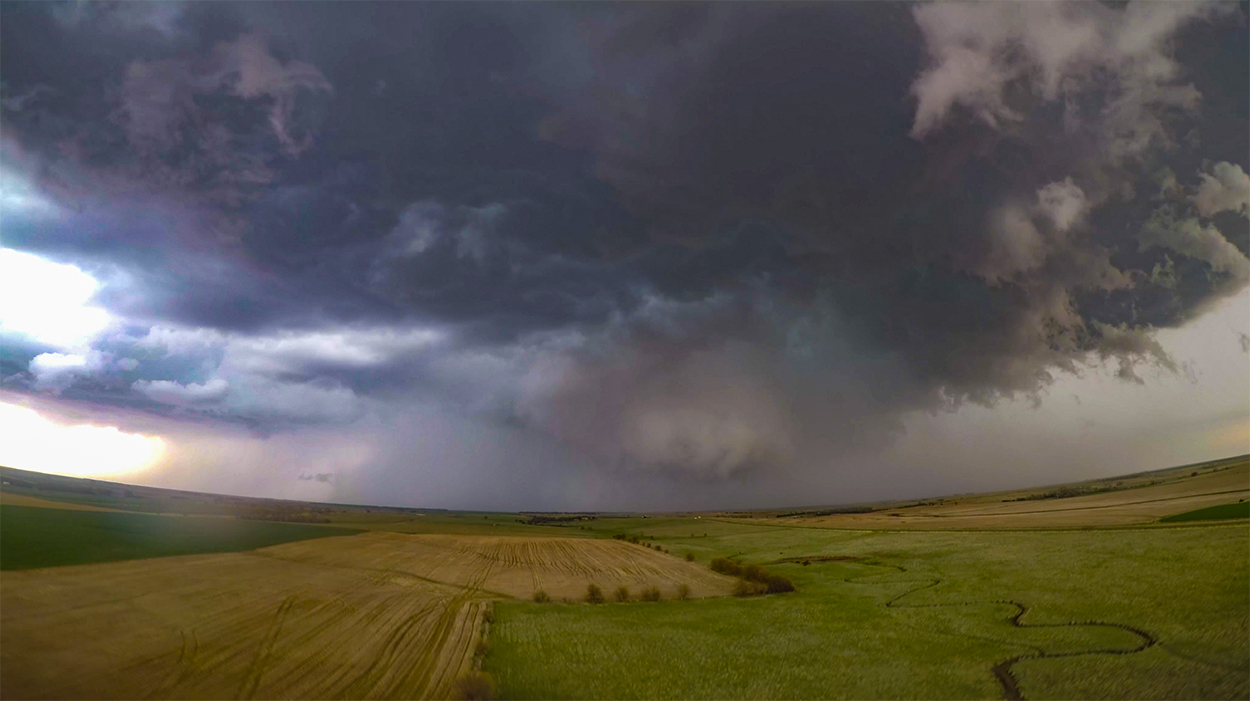
Thankfully, just as I was about to reposition in frustration, the storm threw us a bone and cleared out a couple minutes later - revealing an absolutely classic rapidly-rotating, bowl wallcloud. This was it. All cameras were on. Drone was in the air. We were ready for that epic tornadogenesis shot. And then all of a sudden the wallcloud just... wilted.
5:44 - 6:15 PM CDT: The chase continued stair-step style onto the dirt grid - east, north, rinse, repeat. After Cycle 3 dwindled, the supercell's base morphed into a flat, apathetic crescent - still an organized mesocyclone but no longer impendingly tornadic. In the back of my head, I started to hear the whisper, "Go south." Sure enough, another isolated supercell looked fantastic on radar down near Belpre. But we slogged on with our current cell. "Don't leave tornadoes for tornadoes."
At 6:10, we made another close pass to the lackadaisical RFD region near Dubuque, KS. By now, storms were growing more crowded and sloppy, plus a left-split flying up from the south was about to slam into the whole mess. The "Go south" voice grew more convincing. "We knew this was always going to happen. TP is a mess. Get that southern storm!" So at 6:15, we made the fateful decision to abandon the northern storms and #GoSouth.
6:15 - 8:30 PM CDT: Almost immediately upon dropping south, the southern supercell began to look worse on radar. Nevertheless, we persisted - having already written off the northern play. I'll admit, some magical thinking was happening, "Maybe the southern storm will just ramp up again."
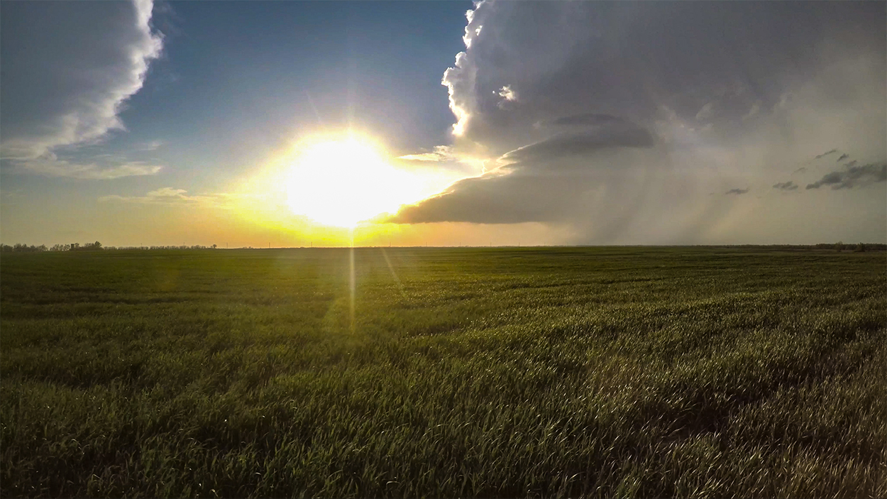
By 7:10 we arrived south of Sterling just downstream of a pretty, but obviously shriveling LP storm. Still, the crisp, isolated features in the setting sun created a pleasant timelapse opportunity. I was disappointed, but not terribly unhappy with our targeting decision. That is, until I glanced at Facebook and saw a deluge of wedge pictures. Somehow, one of the northern storms got its act together north of I-70 and dropped a monster tornado. Had we just stuck it out, or even turned back after seeing the southern storm's devolution, we could have been there. But here we were, sitting in a field of wheat and sadness.
8:30 - 10:00 PM CDT: Wounds were licked in Hutchinson, where we grabbed some Rib Crib BBQ for dinner before heading to the Fairfield Inn for the night. This wasn't the first, nor will it be the last painful storm chase we experience. It's definitely part of the hobby. The most important thing is to learn where we went wrong today and adjust our strategies going forward.
Recap, Filmmaking Notes, and Lessons Learned
- Everyone will remember this day for the Tescott Wedge, but there were a few other brief tornadoes to the north and south as well (SPC Reports). The Tescott tornado didn't actually come from the initial supercell we chased, rather it grew from a flanking line storm that became dominant after crossing I-70. Nevertheless, we would have been in position had we remained with the original storm.
- After the event, Skip Talbot had an excellent post about the Lid Strength Index. I'm not sure if it's the silver bullet to lean on when the cap is potentially an issue, but certainly a parameter to keep in mind.
- Before committing to the southern storm, I should have at least checked ZDR to see how its updraft was doing. Major oversight on my part.
- I can't think of any examples of an isolated storm that looks good, begins to struggle, then makes a comeback and produces. These "Lazarus" storms just don't happen often, so it was definitely suboptimal to bet the chase on the southern storm after it began to look poor.
