Date: May 17, 2018
Time: 2:05 PM MDT - 7:50 PM CDT
Place: Lamar, CO and Hooker, OK
Distance: 595 mi (393 positioning, 184 chasing, 18 to hotel)
Camera: T3i, GoPro3 Black, GoPro5, Sony RX100ii
Warnings: SVR
Rating: S2
Pre-Chase
May 16, 9:30 PM - May 17, 1:15 AM MDT: Is this the latest we've ever left ABQ for a storm chase?? There's always something so giddy yet relaxing about an evening drive in preparation for a chase the next day - literally the calm before the storm. Tonight we position for storms in northeast Colorado tomorrow, and our end goal is the Trinidad Holiday Inn Express. 2018 has been a tough chase year, so like our earlier April 30th outing, we are prepping for a day-before-the-day chase to maximize storm opportunities in an otherwise meager year.
11:00 AM - 2:05 PM MDT: A western trough in mid-May should be the synoptic stuff storm chaser dreams are made of, but if 2018 has taught us anything, it's that there's always a creative new way to waste a system. Today, chasers across the plains wake up cursing an unlucky Gulf of Mexico low, which has spun for days preventing moisture return (offshore winds over Texas instead of onshore winds that wick that sweet gulf air into Tornado Alley). As such, we'll be lucky to hit upper 50s dewpoints anywhere this afternoon as things mix out. But sometimes that's enough for the high plains of Colorado.
The whole reason we drove so late last night was to be in striking distance of NE Colorado, where Palmer Divide and DCVZ topology might help eke out a tornado (looking for all the help we can get, given the situation). But morning model runs looked rather junky in my original target locale, while a consistent signal for a couple hours of discrete storms in SW Kansas was like a siren's call - the perfectly flat, perfectly gridded Promised Land of chasing.
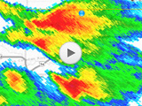
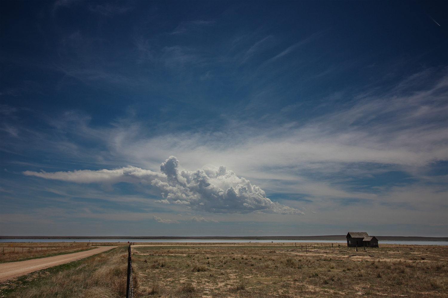
And so we changed plans - leaving Trinidad at a leisurely hour and setting off towards La Junta with a new target of Holly, CO. At 1:20 we pulled off the highway near Las Animas to film a spooky, abandoned 2-story house, which was set in front of the most localized, isolated field of agitated Cu I've ever seen. By 2PM we arrived in Lamar to gas up and check surface obs. Sure enough, that baby Cu field was now pushing an anvil and dropping its first radar returns. We were still well west of the moist axis, but we decided to wait in Lamar and see what the infant storm could do.
The Chase
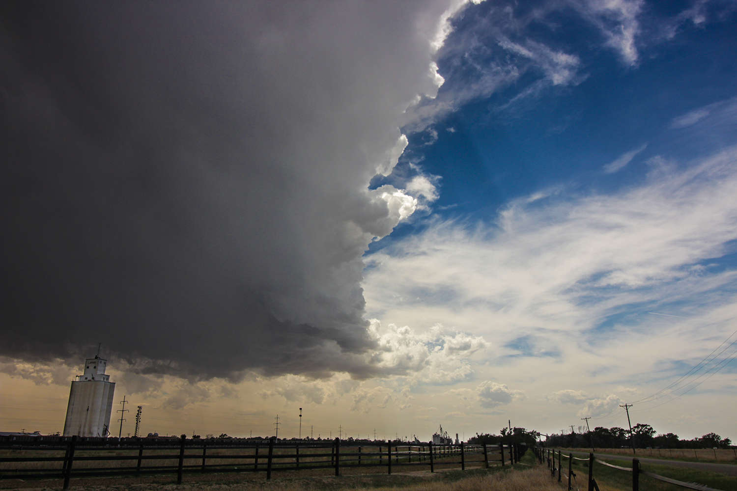
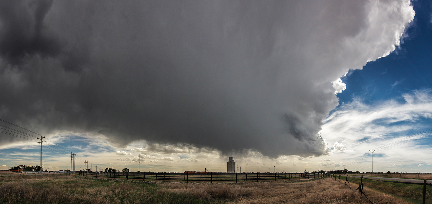
2:05 - 4:00 PM MDT: We drove to the eastern fringes of town to look back west, both the Lamar grain towers and Cu towers in timelapse shots. The wispy, sky-high cloud base was an obvious indication of the poor surface moisture in SE Colorado, but I was content to sit in the anvil shade and chat on StormTrack Discord - no other areas of development seemed imminent.
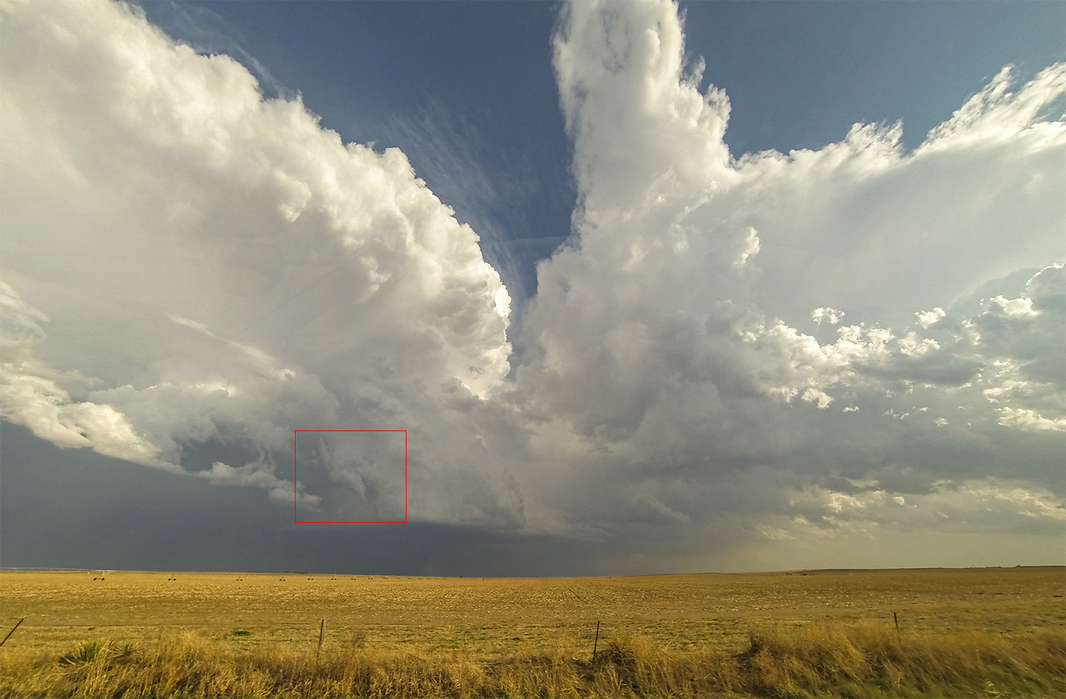
By 3PM, a left-split updraft became "dominant" as the "storm" neared Lamar. This crisp northern tower finally let loose a little drizzle at our location, so we hopped east to Granada, CO to stay downstream. County Road HH is a cool little dirt path that parallels both sides of the "North Granada Ditch". Pop a narrowboat in there and I couldn't tell this apart from Britain!
It was at this locale that I finally realized the futility of our storm, which at its current pace wouldn't reach the moister western Kansas air for another 4 hours. And just before 4PM, a collapsing downdraft kicked off a flurry of gustnadoes and signaled the end of our little storm - born too far west to ever amount to much.
4:00 PM MDT - 7:50 PM CDT: The anticipated SW KS development was still nowhere in sight, not even a field of agitated cumulus. The only initiation anywhere nearby was a few new cells south of Rolla, KS in the OK Panhandle - a two hour drive. But with nothing else in the vicinity, we commenced the journey east on Hwy 400 and south on 27 along with a convoy of like-minded chasers.
Near Rolla, we got our first good views of the new storms - a complex of robust updrafts that all appeared to be anticyclonic. Turning east on Rd D, we paralleled the storms just a few miles to their north - trying to pick the perfect spot to punch south into the core. Along this drive, we noted at least 3 different anticyclonic shear funnels poking out near the base of these updrafts.
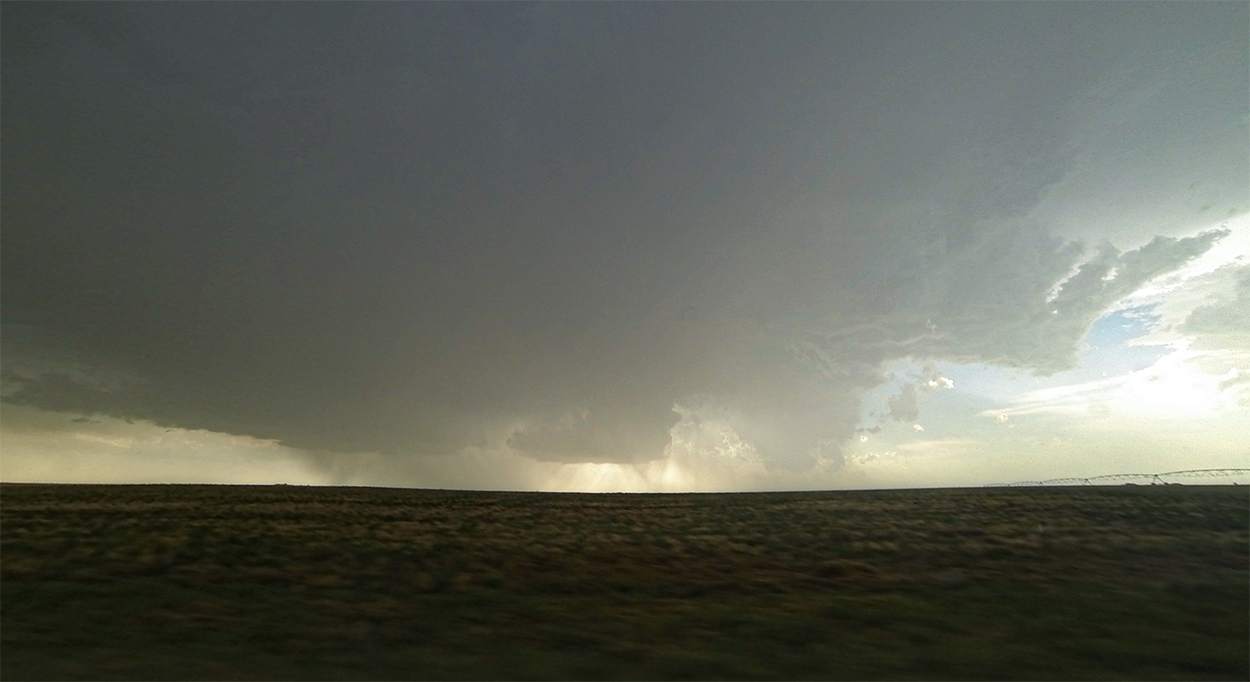
Hooker, OK seemed the most viable intercept point, and so we turned south into the precipitation at Rd 20. I was hoping to emerge from the rain to the sight of a healthy, cyclonic southern updraft, but hopes were soon dashed. The backlit bases were clearly anemic and shriveling, and radar also told the same story. We'd missed the mature stage of these storms during the 2 hour drive.
We sat around Hooker for a bit, taking in the rumbling thunder and orange sunset. It was a nice opportunity to fly the Karma drone and reflect on the day. Liberal, KS was our base for the night, where a piddly little rainshower put on a striking sunset show before we headed to the Cattlemen's II Cafe for dinner (note: we've never discovered the location of Cattlemen's I).
Recap, Filmmaking Notes, and Lessons Learned
- Nothing ventured; nothing gained, but there certainly wasn't much to be gained this chase day. Probably the best catch was the supercell west if Hooker if you were on it early enough.
- Our slow-moving Lamar storm would never survive the multi-hour journey to deeper moisture. Sticking with that doomed storm as long as we did put us out of position for the cells that eventually fired east in the modestly richer dewpoints.

