Date: May 18, 2018
Time: 6:20 - 9:30 PM CDT
Place: Quinter, KS
Distance: 246 mi (153 positioning, 48 chasing, 45 to hotel)
Camera: T3i, GoPro3 Black, GoPro5, Note3, Note5
Warnings: SVR, TOR
Rating: S4
Pre-Chase
12:00 - 4:30 PM CDT: No bad chase day starts with the Liberal Pancake House for late breakfast. One year ago, we were staring down a high risk event in western Oklahoma. Today seems a little tamer but still chase-worthy. And it starts with a high plains tale as old as time: overnight MCS sweeps east, a boundary is laid down, afternoon Cu builds on the boundary, Cu explodes into an early evening supercell, which then grows upscale into an MCS overnight, rinse and repeat -- the meteorological circle-of-life.
Thanks to some persistent SW flow aloft, we should just eke out enough shear for supercells. Also thanks to the dang low along the gulf, today's moisture quality will again be quite questionable for tornadoes. But with the aforementioned boundary with excellent E-W orientation along I-70, who knows what will happen?
First order of business: get north closer to where the boundary should stall out. In Garden City, we grabbed some celebratory beers for later (presumptuous!) and then joined a gaggle of chasers at the gas station north of town. If today wasn't a high risk, you wouldn't know it judging from the confluence of chaser vehicles bristling with antennae, hail cages, and decal wraps. I met many folks from the Stormtrack Discord for the first time, and then spent some time timelapsing the clouds/crowds. Seriously I don't think I've ever witnessed a larger pre-chase convergence, and knowing the relatively meager chances for today I couldn't help but feel great camaraderie with all present.
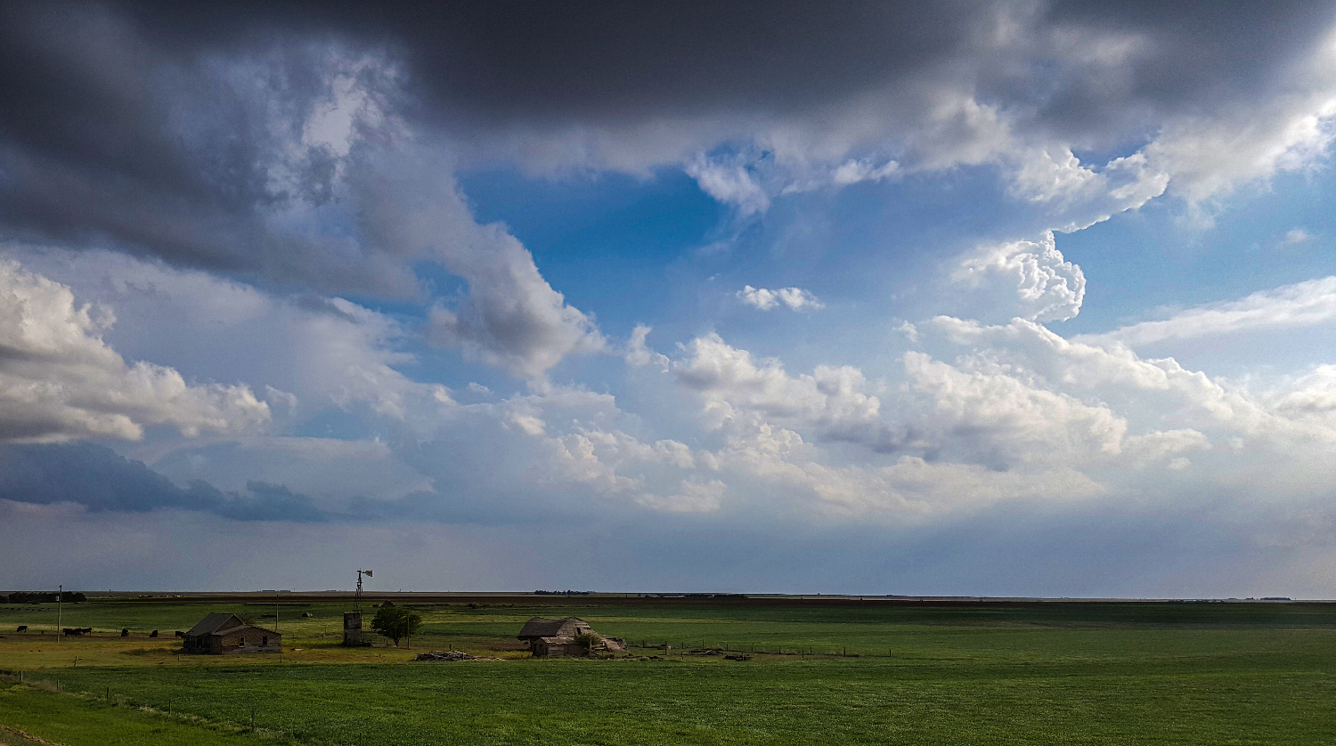
4:30 - 6:20 PM CDT: After socializing for an hour, it was time to get further north closer to the I-70 boundary. Continuing up Hwy83 through Scott City, we loitered in the fields near the Lake Scott State Park -- marveling at the perfectly flat terrain. Distant semitrucks along the shimmering horizon cut paths through the green wheat fields like boxy schooners - it's a weird, magical chase land where you see forever. Sufficient B-roll footage in hand, we continued north to Oakley and the interstate. A zone of towering Cu was apparent on satellite from Quinter and stretching back to the WSW -- I wanted to be ready to strike if any of those towers initiated.
The Chase
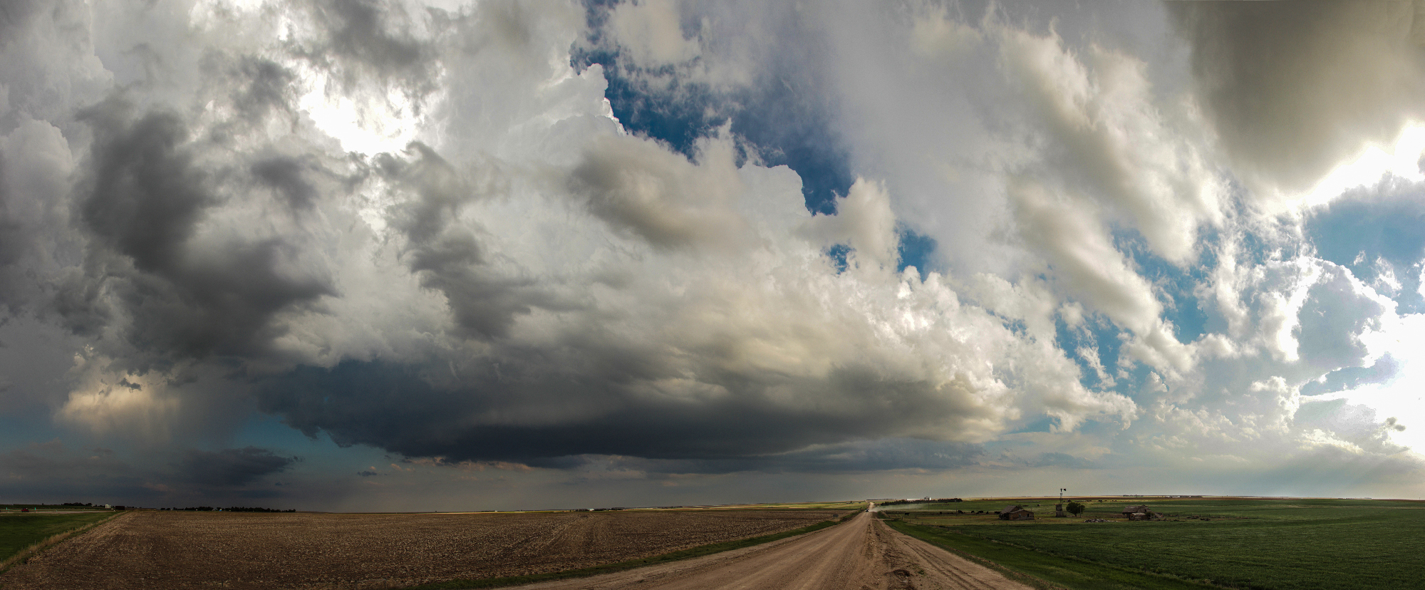
6:20 - 7:35 PM CDT: My chase-xiety could wait no longer; I needed to be under the developing blips 25 miles to our east. We blasted down I-70 just as the SPC came out with a nice MCD highlighting our area. I first exited near Grainfield for a few minutes, but by 6:52PM we settled on the Park, KS overpass as a monitoring point. The base of the crisp towers that lured me in were now just a couple miles to our SW. I initially thought we'd need to immediately pursue to the northeast, but ZDR showed our updraft was nearly stationary -- perhaps already rooted to the backed surface layer.
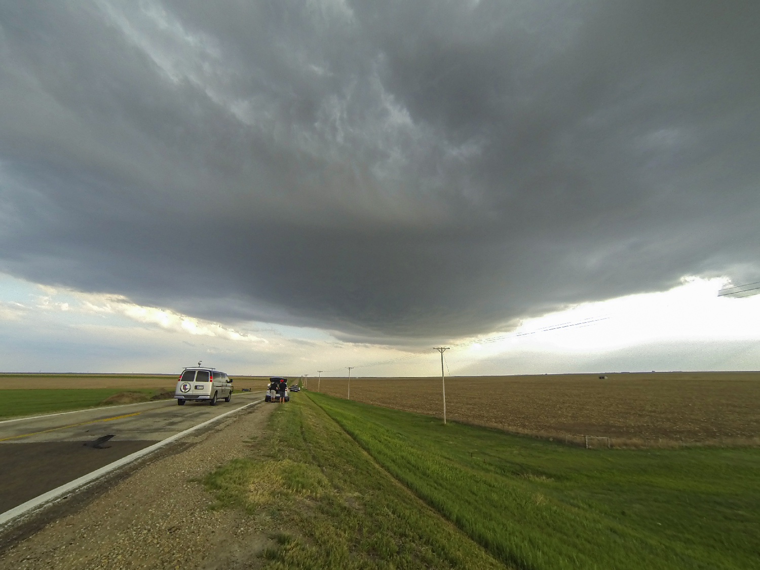
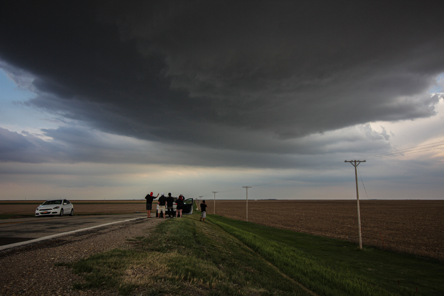
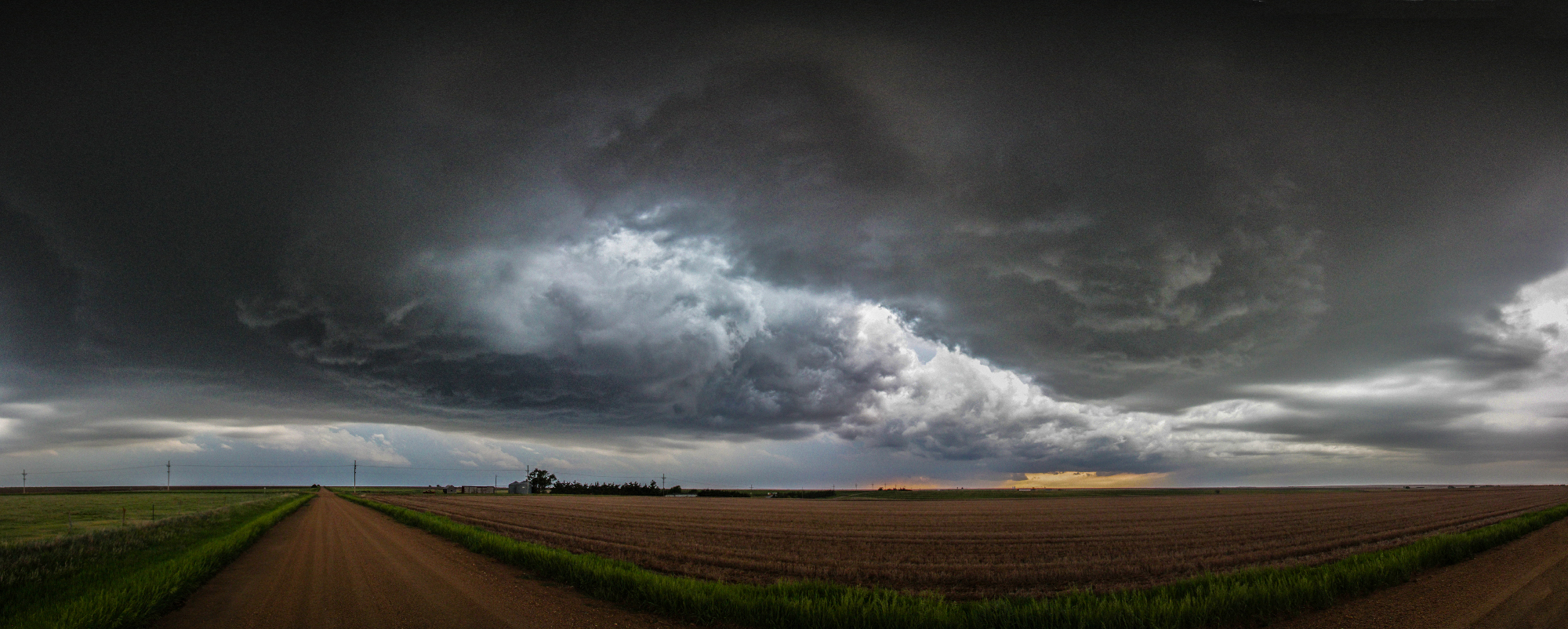
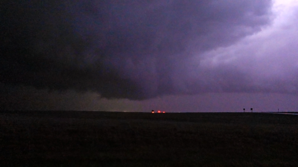
I deployed all the requisite photographic equipment and let the lapsing and drone flights commence. A menagerie of storm chasers and tour vans began collecting at our exit -- including Gizmo and Reed Timmer (I was too shy to walk over and bug Gizmo). Our spot couldn't have been more perfect - all the storm maturation processes were occurring right above our heads. Inflow bands began feeding in from the east and north. A subtle lowering began punching in as the first RFD cut took shape. And finally a gust front at the surface kicked up gustnadoes as it approached from the SW. All this while our base hovered directly overhead. It was an absolutely magical half hour.
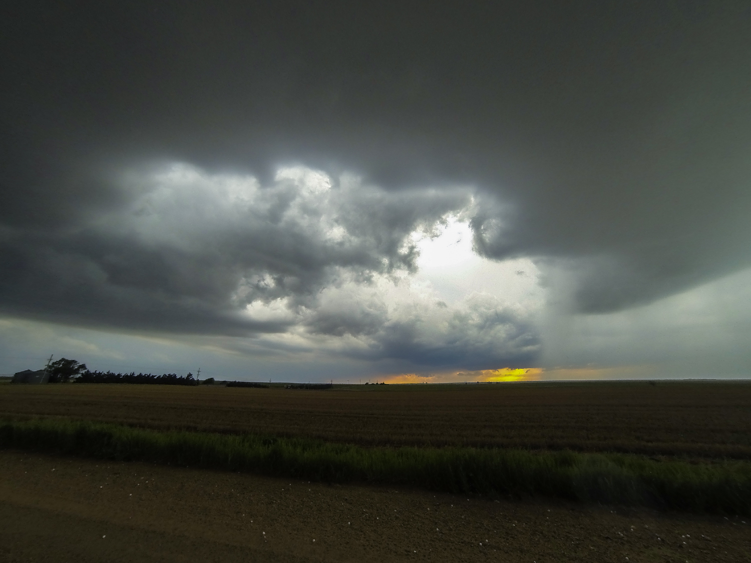
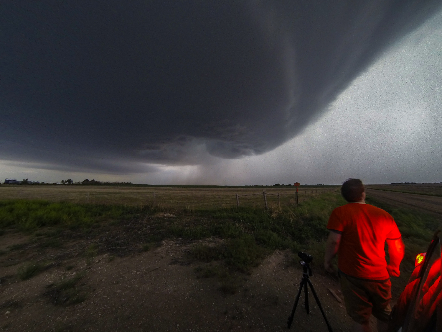
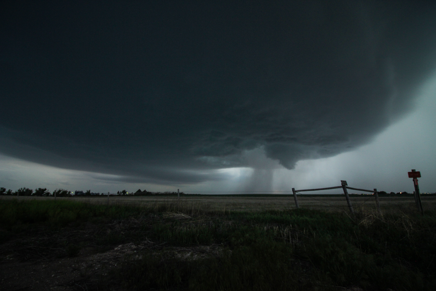
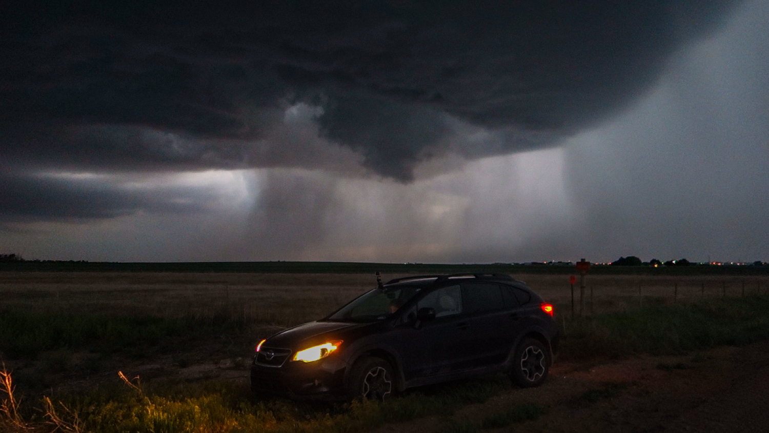
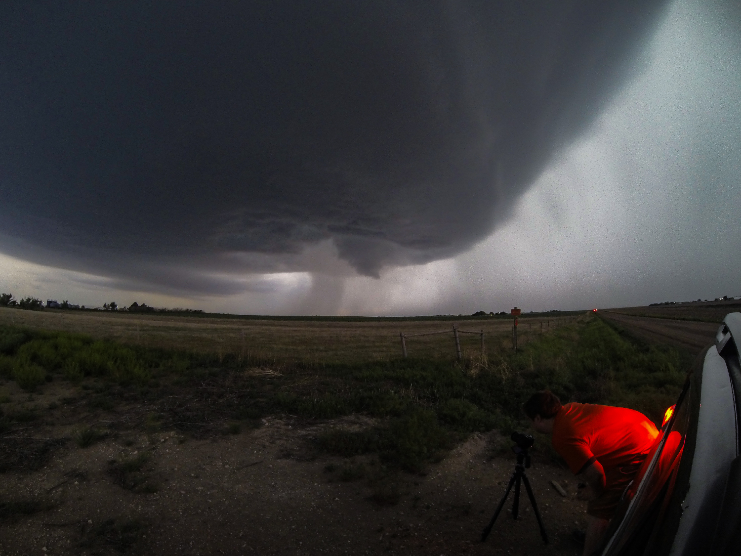
7:35 - 9:30 PM CDT: Slowly but surely, the base crept northeast as the meso matured, and soon it was time to pursue out onto the dirt grid. We jogged 6 miles ENE and pulled up next to some small grain silos -- a sweeping view of a new, narrow RFD cut just to our SW. I hopped out to set some cameras just as marble hail began to fall. Taking cover in the lee side of the Crosstrek, at 7:57 I glanced in the window at radar and surprise, surprise: our storm was TOR WARNED! And sure enough, the north end of the elongated clear slot featured a tight, rapid area of rotation!
Sadly, however, just as fast as it spun up, the little rotation also spun itself out. The storm wasn't ready yet. I was content to hold at our location until "hisssssSSSSSSThwack" -- a golf ball hailstone hit the dirt beside me. Time to get southeast! We took a couple baseballs to the roof as we escaped from the growing hail core -- pulling up 1/2 mile east of Quinter, KS at 8:10PM. Over the next 10 minutes, the core slowly enveloped town and we heard the loudest, most ominous hail roar I've ever heard on a chase!
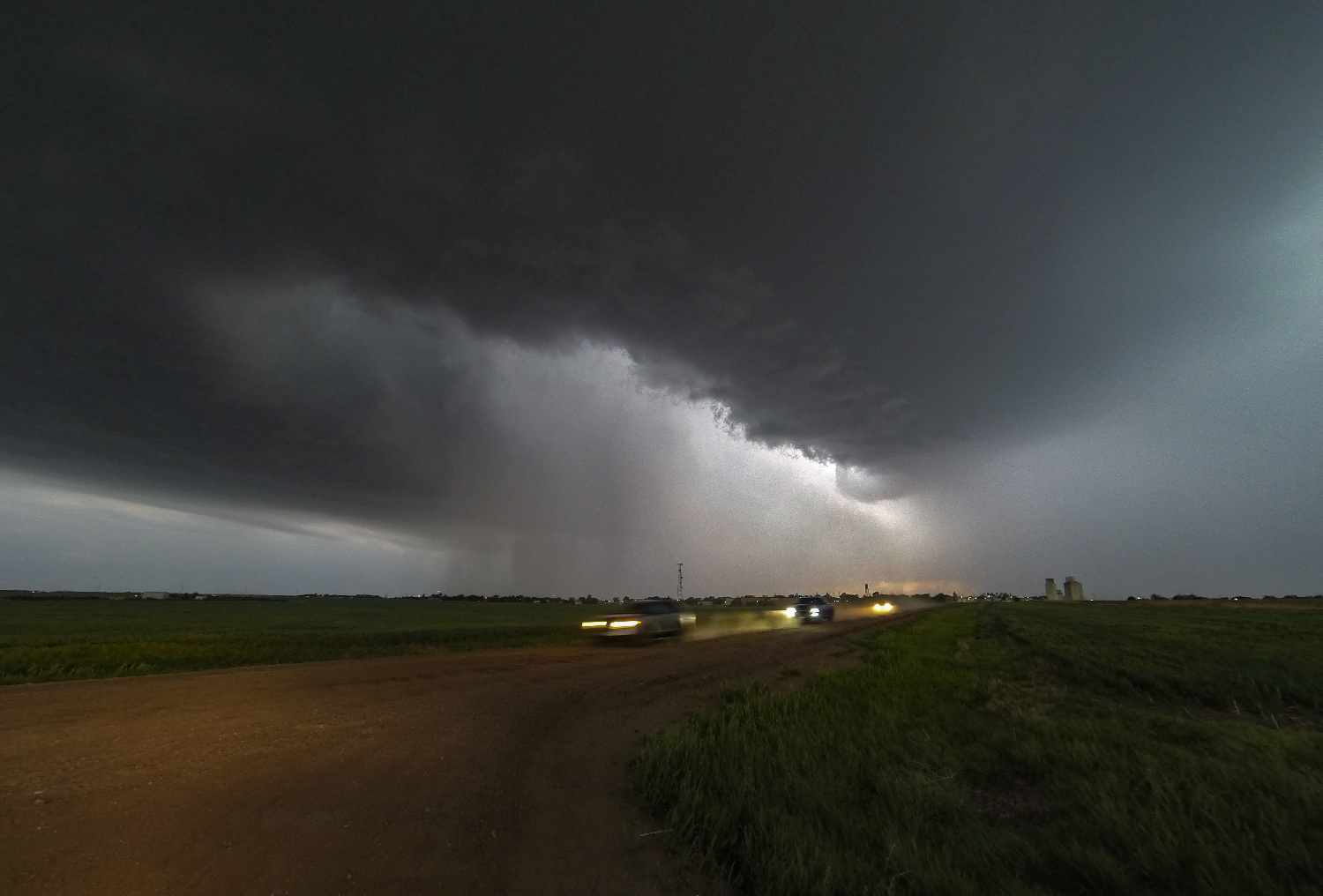
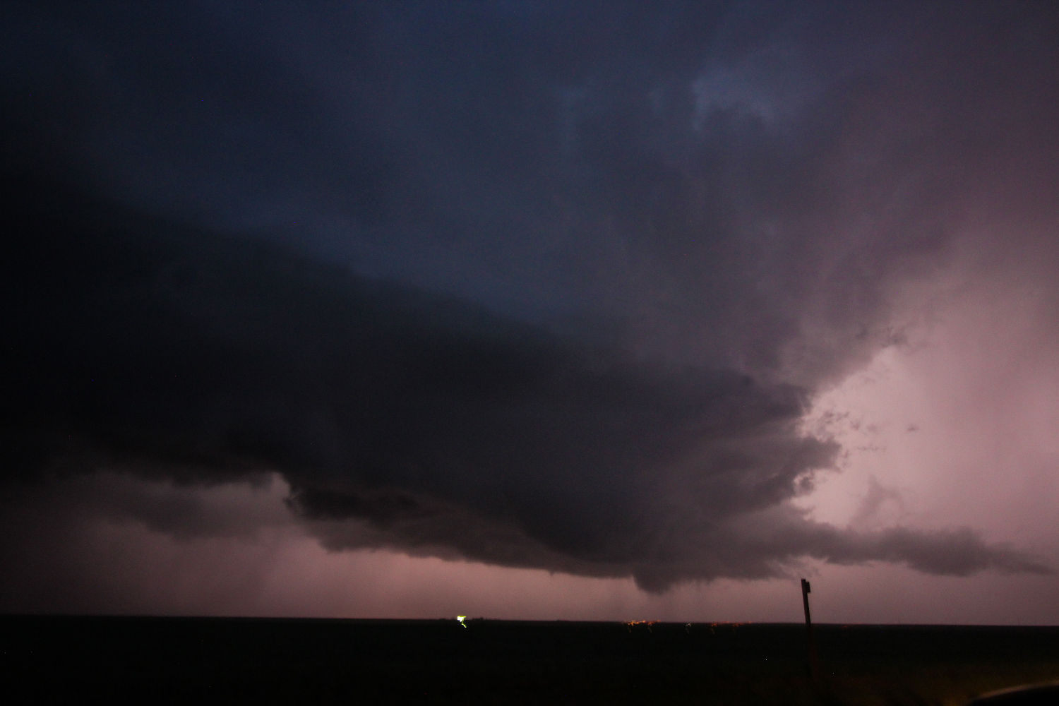
The now mature supercell was right-turning and slowing sinking southeast, and another elongated, narrow RFD cut punched into the base. Old Hwy40 provided a perfect SE road that let us leapfrog mile by mile just out of the clutches of the core. By 8:25PM, the horseshoe again started to wrap up and a suspicious cone lowering condensed on the north end -- the most concerted attempt at tornadogenesis yet. But something was missing, and once again the feature fizzled as fast as it formed.
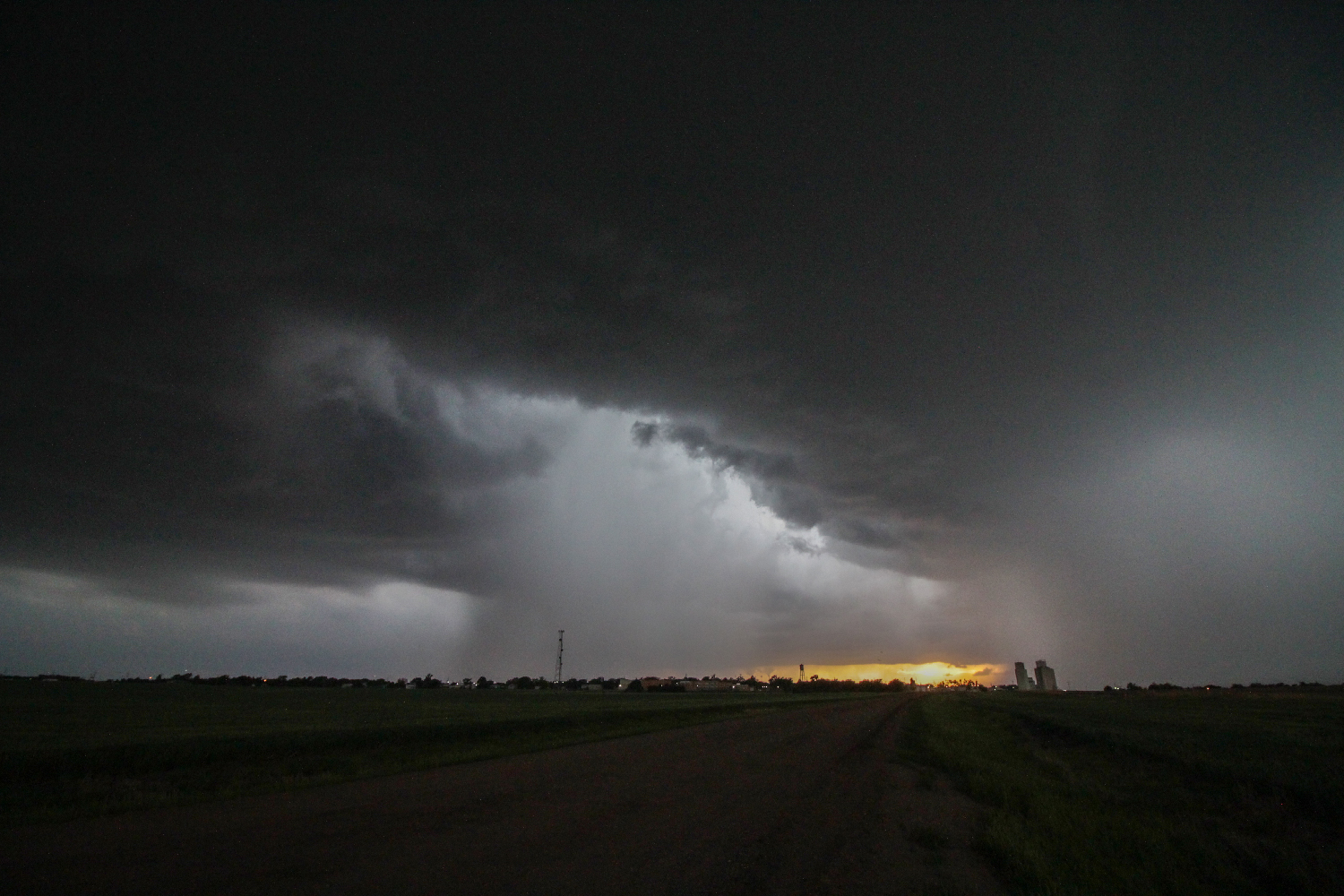
As twilight started to set in, we put a little more distance between us and the business end of the hook, which was evolving into a strobing, rain-filled mass. The cartwheeling, curling rain curtains were mesmerizing to watch and stood out very distinctly from the more uniform forward flank precip. I once again set up timelapses from a nice hill looking northwest, and was casually minding my own business when WHAM!!!!!! It suddenly felt as if a huge invisible hand hauled off and slapped the back of my calf. Needless to say, I yelled in shock and pain, looking around thinking I'd been hit by a rogue softball. But no, the only thing behind me was a decrepit old barbed wire fence, certainly not the classic electrified type. It took me a while to figure out, but apparently I'd brushed against it and received a huge static shock, complete with a nice little triangular mark on the back of my leg. #ScarredForLife
After that shocking bit of excitement, we spent the next half hour listening to the powerlines sing in the howling inflow. I actually thought the storm was ramping up in the strengthening LLJ, and new lowerings looked very suspicious in the nearly-continuous lightning flashes. But alas a key ingredient was still missing and our storm never again went TOR warned. By 9:30PM it was clear the once isolated supercell was getting overrun by surrounding storms. Time to call it a chase.
9:30 - 11:00 PM CDT: We fought our way east to Hays in the congealing storms -- dazzling sheet lightning blinding our dark-adapted eyes the entire time. Post-chase in Hays, KS can mean only one thing -- APPLEBEES!! Yes, the classic stop from years past, including one of our earliest chases on May 27, 2012 when we saw Sean Casey stumble into the restroom toting a full beer -- good times. We were certainly not the only chasers there that night, and we said hellos to many of the same folks from the Garden City gas station earlier that afternoon. The rain and thunder made for a thoroughly enjoyable late dinner ambiance, and after an hour we headed across the street to our hotel and had no trouble falling asleep after a satisfying day.
Recap, Filmmaking Notes, and Lessons Learned
- As expected, meager moisture meant no tornadoes for the day (other than a couple suspect landspout reports). But calibrated expectations meant we had a wonderful time, with 3 hours directly underneath a gorgeous supercell from start to finish.
- I've long been familiar with the dual-pol CC product forming the basis of the Tornado Debris Signature (TDS). But I'm just now appreciating the magic of Differential Reflectivity (ZDR), which basically tells you where hydrometeors are squished in the vertical axis (i.e., are accelerating upwards or downwards). As opposed to just looking at reflectivity, ZDR shows where the actual updraft region is, how large and robust it is, whether it's located on the north side (left split) or south side (right split) of the reflectivity, etc. It's like x-ray vision into the storm structure and I can't believe I haven't been using it more before now.
- Who knew?? Turns out any fence can be an electrified fence, especially if exposed to lots of wind and dust so that it builds up huge static charge. From this day on, I will always think twice before blindly grabbing any old fence.


