Date: May 19, 2018
Time: 1:30 - 8:40 PM CDT
Place: Fairview, OK
Distance: 539 mi (210 positioning, 220 chasing, 109 to hotel)
Camera: T3i, GoPros5 & 7, Karma
Warnings: SVR, TOR
Rating: S4
Pre-Chase
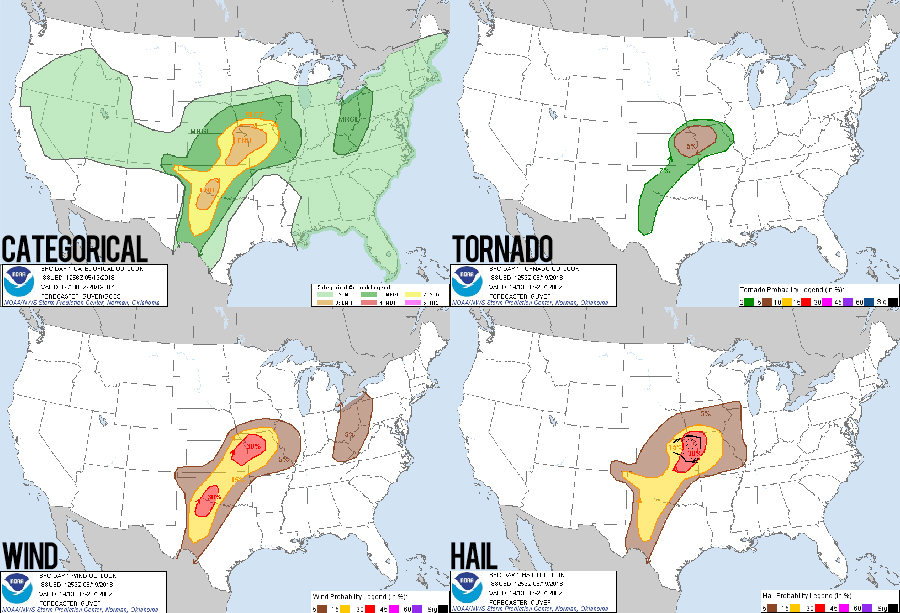
9:00 AM - 1:30 PM CDT: After a fulfilling chase the day before, a nice dinner at the always-eventful Hays Applebee's, and a blissful slumber under the rumbles of a departing MCS, today's chase started with a lazy, cursory glance at morning obs -- expecting an easy nearby target in northeast KS. But late May in the plains is never that easy; the weather you go to sleep to is rarely the weather you wake up to.
True to form, a morning outflow boundary was surging ESE across KS, scouring the good environment I'd hoped to chase later in the afternoon. With the CAMs a useless mess, I was left with a dreaded fallback -- satellite, surface observations, and instinct -- all of which screamed "GO SOUTH!" Rousing Toni, we left our hotel by 11:45 heading east on I70 with a target of North Central OK.
By 1:19, we were southbound on I35 towards Wichita, but already a fly was apparent in the meteorological ointment -- early initiation was underway along the sagging outflow boundary near Tonkawa, OK: barely lunch time and we were already late for the show.
The Chase
1:30 - 3:06 PM CDT: Grabbing a quick to-go lunch at the McPherson Arby's, we continued south through Wichita with growing dread that our chase might be over before it started. Despite a positive MCD for our target, a maturing lead supercell was already well off to the east approaching Bartlesville, OK. We had no way of catching that storm, but a slender band of new initiation near Kiowa, KS kept hopes on life support.
Tolling off the interstate at Wellington, KS and blasting west, optimism cautiously rising that we might be prime early adopters on a new storm. But before the updraft column was even visible on the horizon, bad news arrived from a fellow Discord chaser: "Storms done, base is totally gone." -- coupled with a pic showing a dissolved base and orphan anvil. This tactical knowledge saved us a bit of driving, but now we needed a new target.
3:06 - 3:53 PM CDT: Unfortunately, alternate storms were in short supply around our general vicinity. There was one decent, isolated cell headed towards Enid -- 70 miles to our south. So with a what-else-are-we-gonna-do shrug, we turned south with an hour drive before we would even see our new target.
Stopping briefly in Medford to gas up and reassess the storm, my heart sank as the Enid cell was already falling apart on radar -- just like our previous target. It was starting to feel like we had supercell repellent. I absent-mindedly noted some rumbles of thunder overhead but didn't think much of it while desperately swiping around Radarscope looking for a new target. But there was absolutely nothing within striking distance. Then another rumble of thunder. Hmmm.... that's weird. Just then, Radarscope updated with the newest scan. WOAH LOOK AT THAT!! A fresh, new storm was exploding just to our south over Pond Creek. We were hearing thunder rumbling in the infant anvil. New target acquired; our luck had finally turned!!
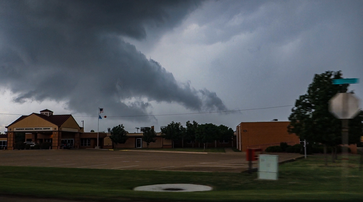
3:53 - 5:16 PM CDT: Cutting east out of Medford, it took only a few minutes to get ahead of the new storm and drop south through its forward flank. Along the way, I noted a nice inflow tail streaming in from the north along with lots of positive lightning from high up in the anvil. Hopes were sky-high. By 4:07, we had visual on the new cell's updraft -- a dismal, bowed-out mess that was collapsing just as quickly as it developed. Our luck hadn't changed after all.
We stuck with the splitting complex of cells as they drifted NE for the next 45 minutes, but no dominant updraft could take hold. By 5PM, it was clear this too was a bust. We sat dismally at the Hwy 74/11 junction watching the collapsing towers and posting the Neil Cicierega "Bustin" remix to Discord. What else was there to do? And with no other option in sight, we made the painful decision to call the chase and start the long trip home 😭 😭
5:16 - 7:00 PM CDT: The next hour of driving was a sad, quiet affair as we contemplated where to stay for the night. I wasn't even monitoring radar -- having long given up on the day. As we rolled into the outskirts of Alva, OK, I took a minute to step out and stretch my legs. Glancing south, I noticed a large, isolated anvil and darkening updraft column along the southern horizon. Where had that come from??? Pulling up radar, sure enough, a cell near Seiling, OK had already gone severe, shed a left split, and was turning right towards the town of Fairview. By blind luck we were in position to intercept. I could hardly believe it, but.... the chase was back on!!
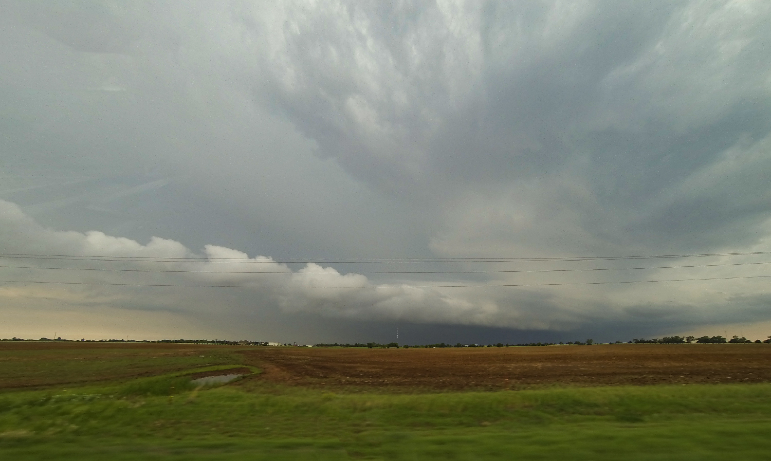
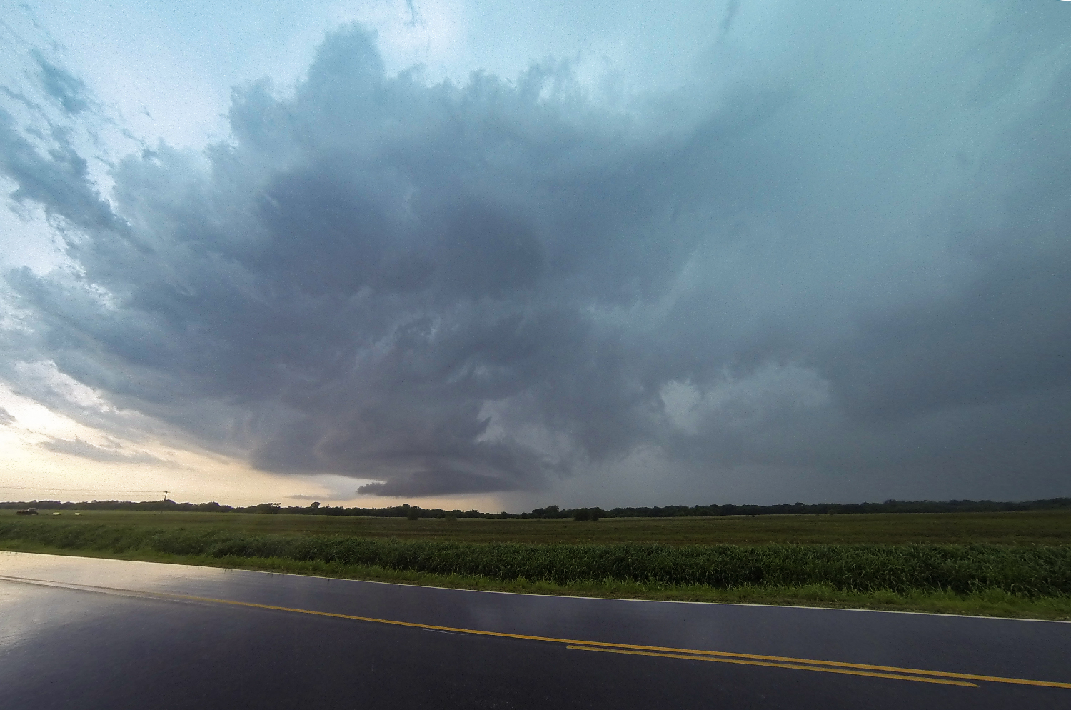
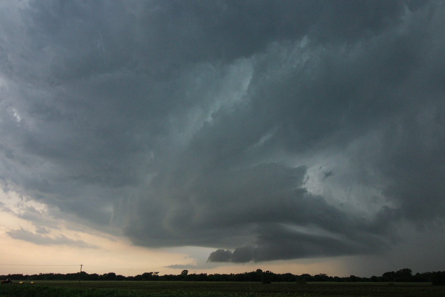
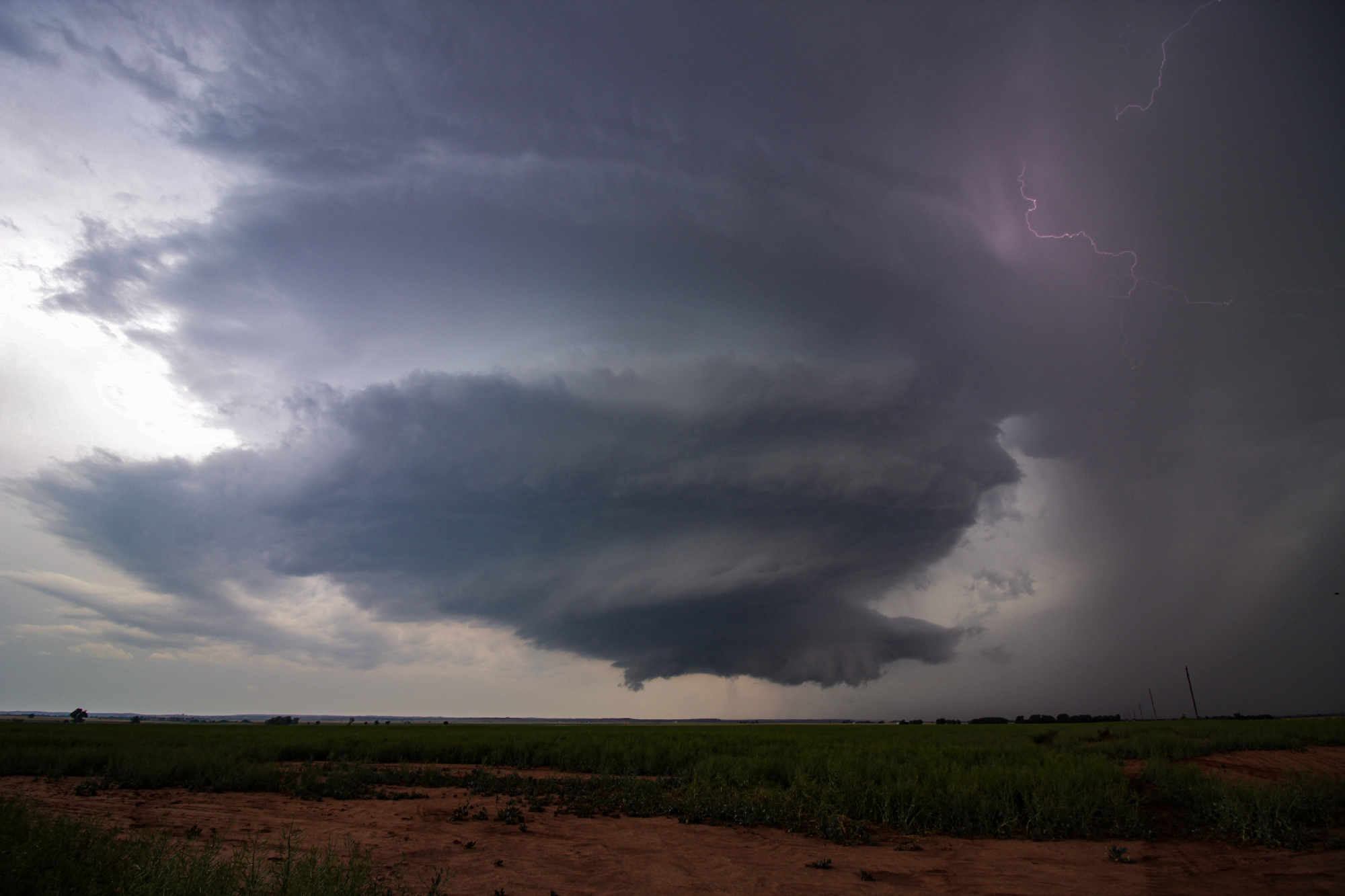
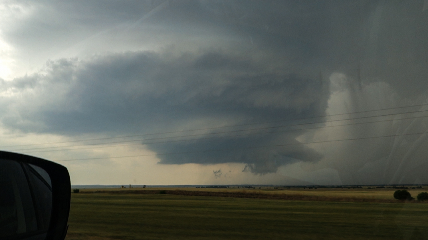
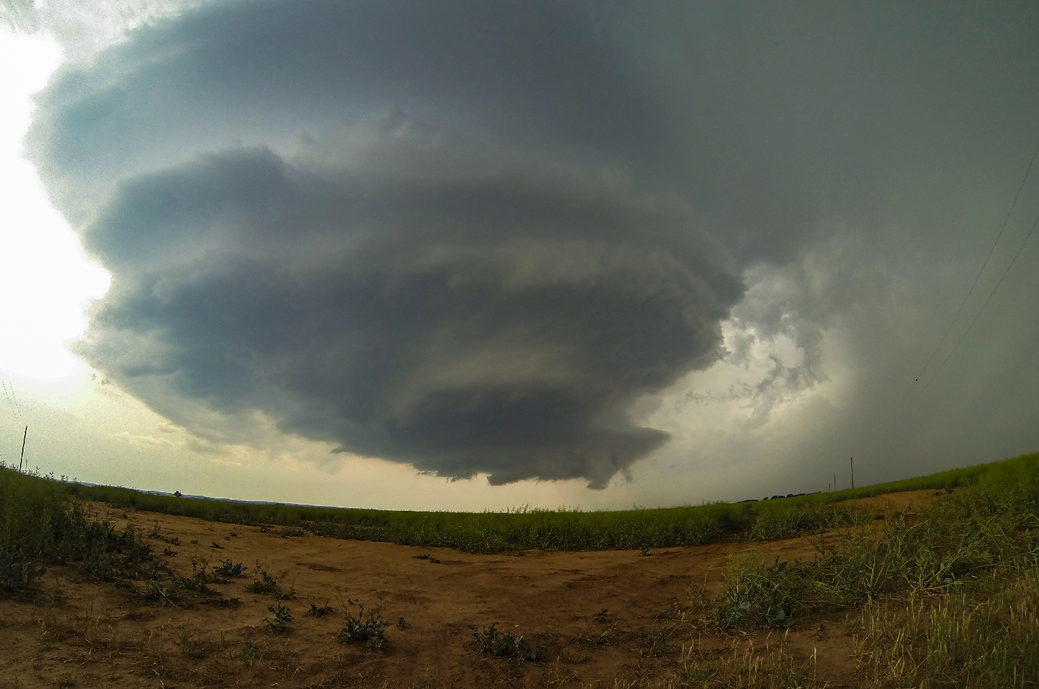
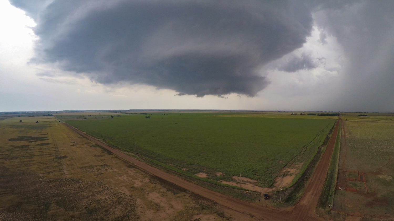
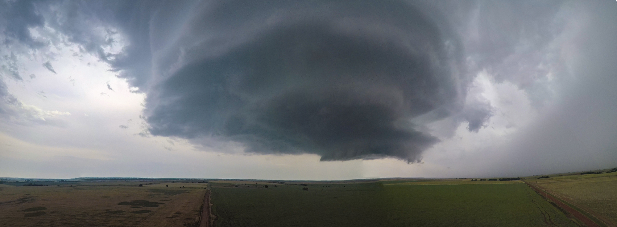
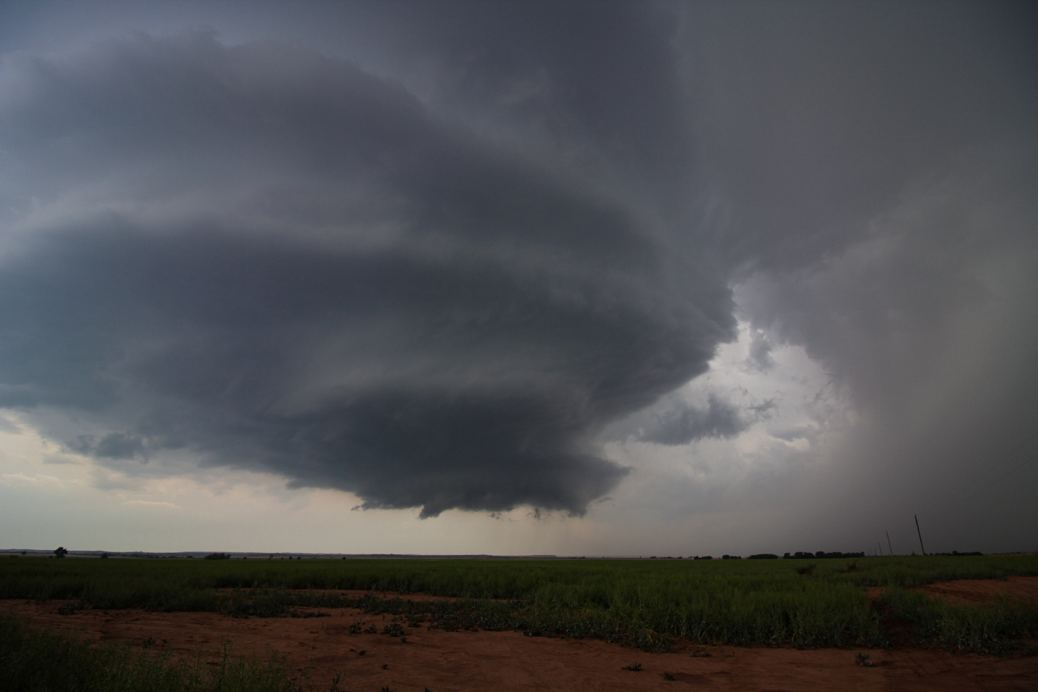
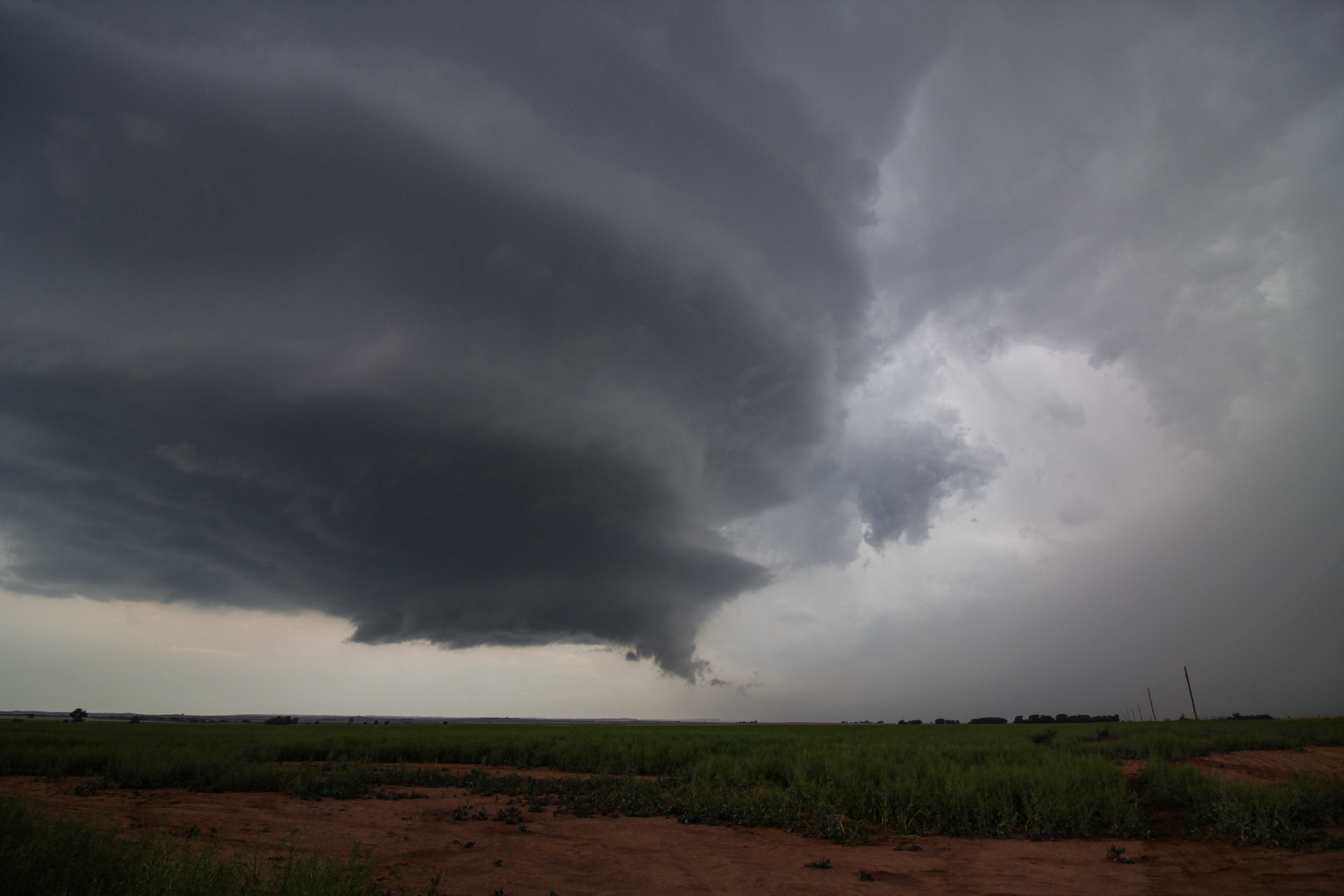
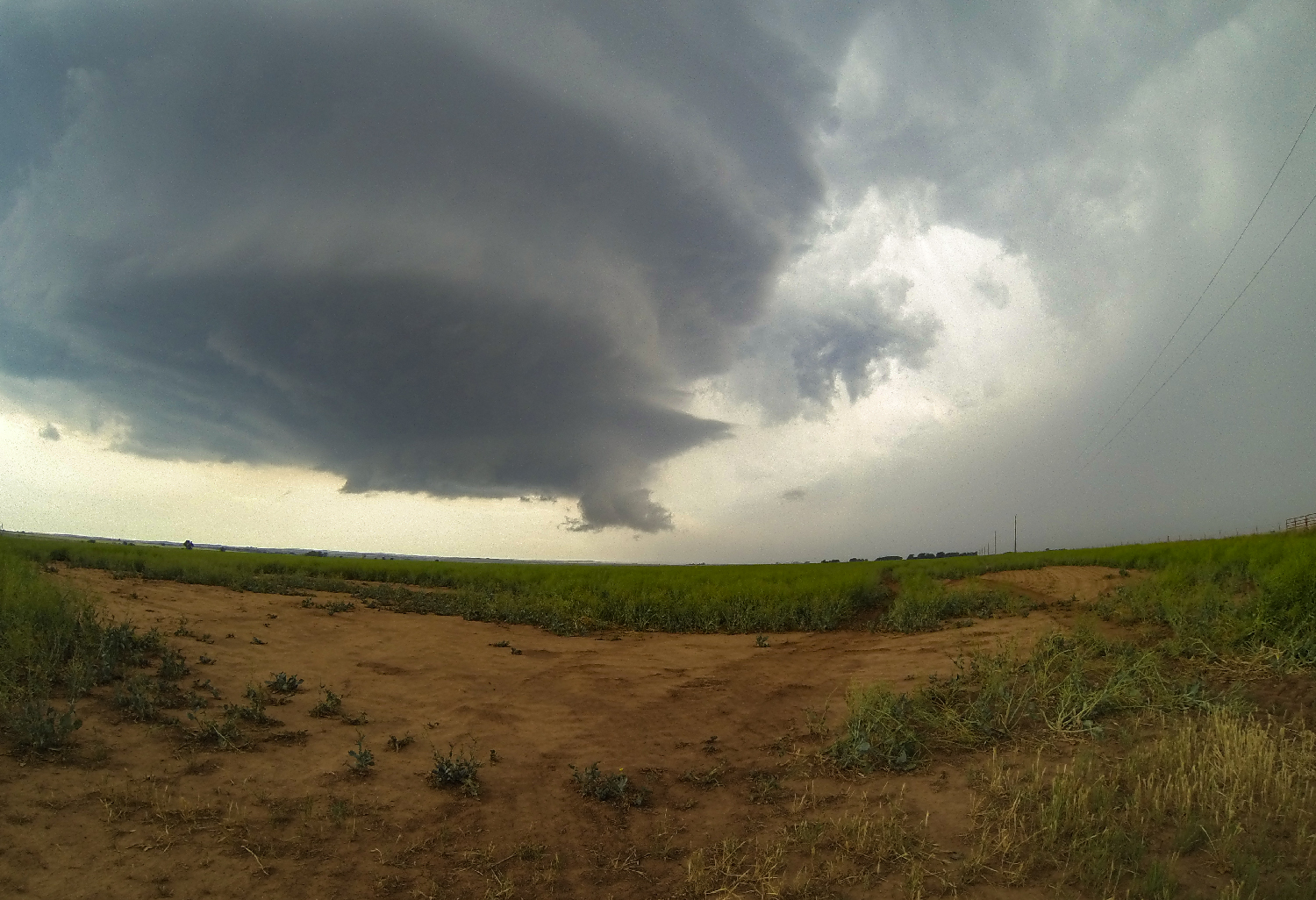
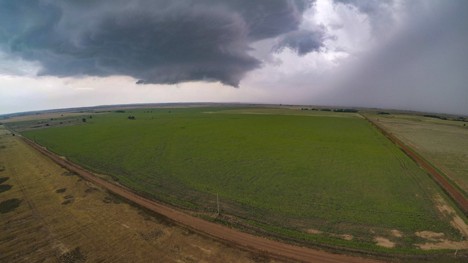
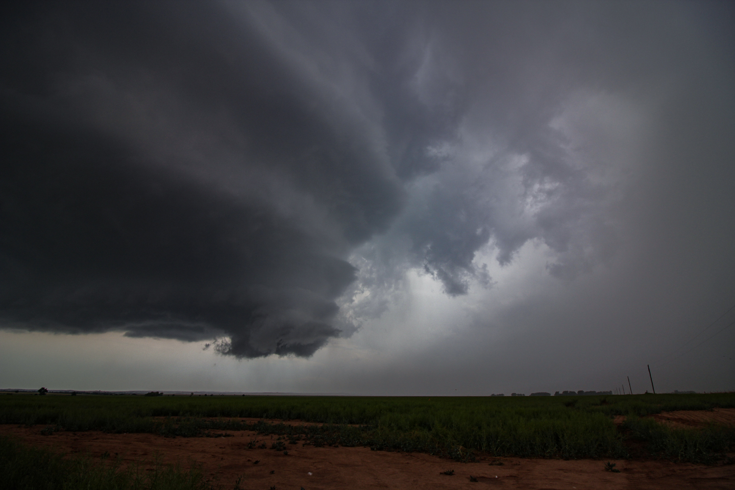
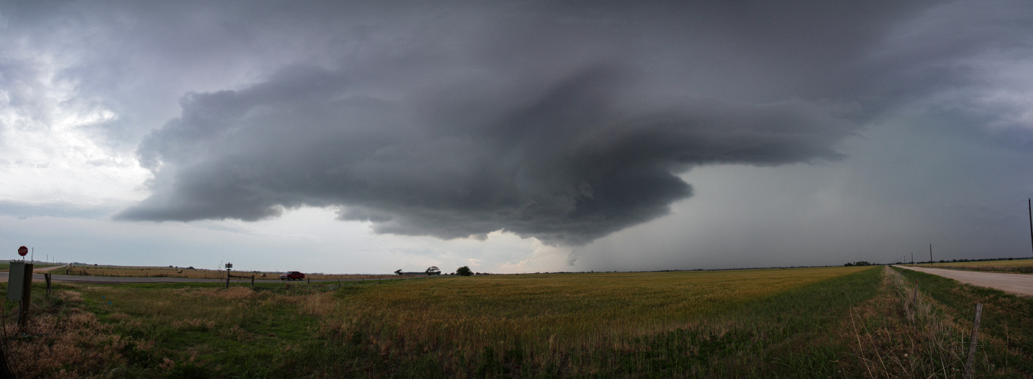
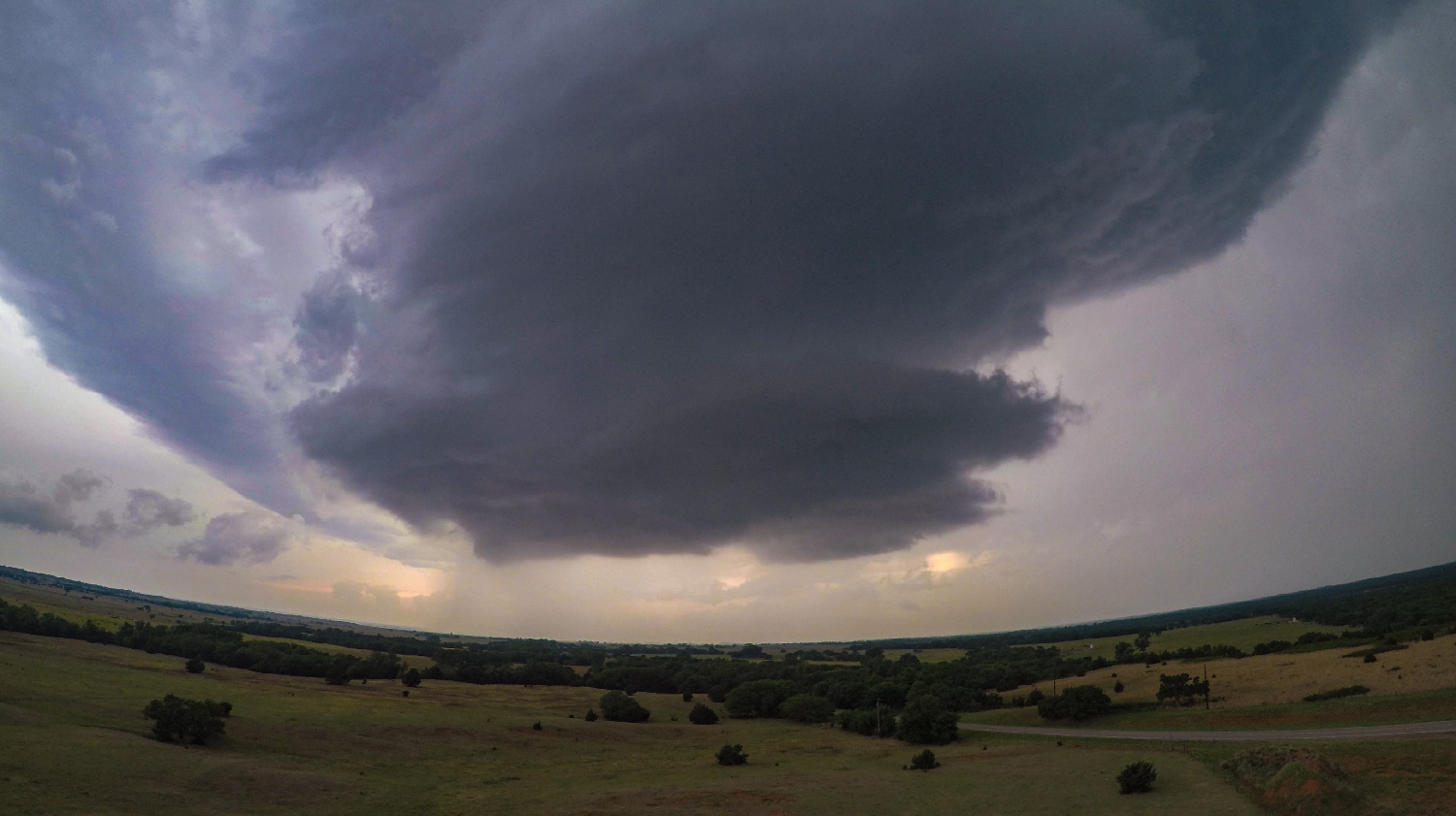
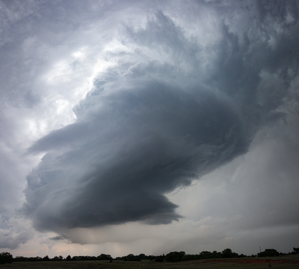
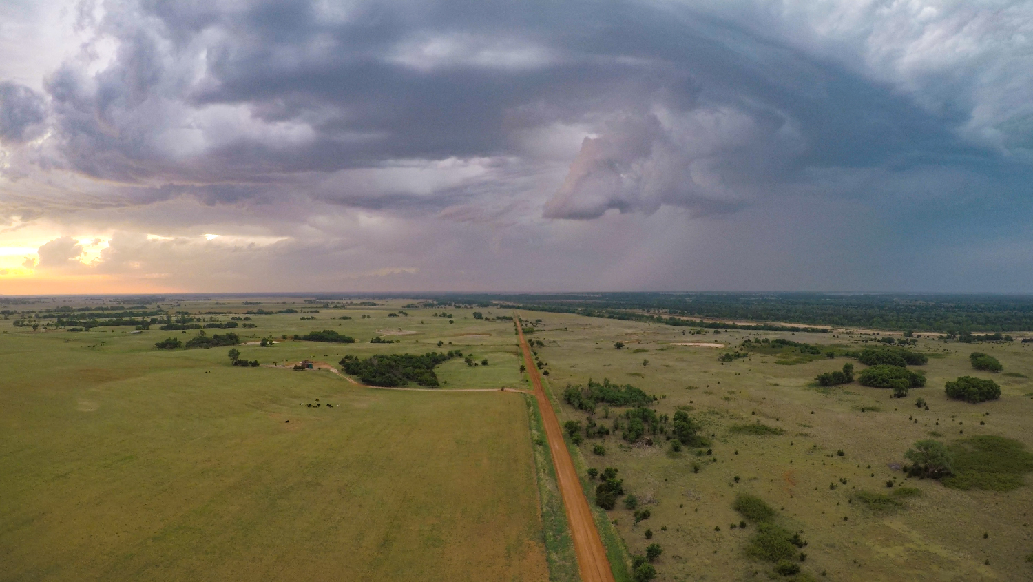
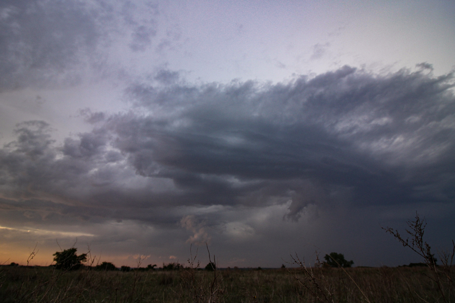
7:00 - 8:40 PM CDT: After 45 minutes of tricky driving trying to optimize the route south, by 7PM there we were -- sitting in front of the prettiest tornado-warned supercell you could ever ask for! Immediately I hopped out to set up all the requisite cameras. Updraft structure presented a loose stacked-plates appearance, with 4 or 5 bands over some of the flattest chase terrain in all of Oklahoma. Even better, our approach placed us at that calm interface between inflow and outflow -- ideal for a drone flight.
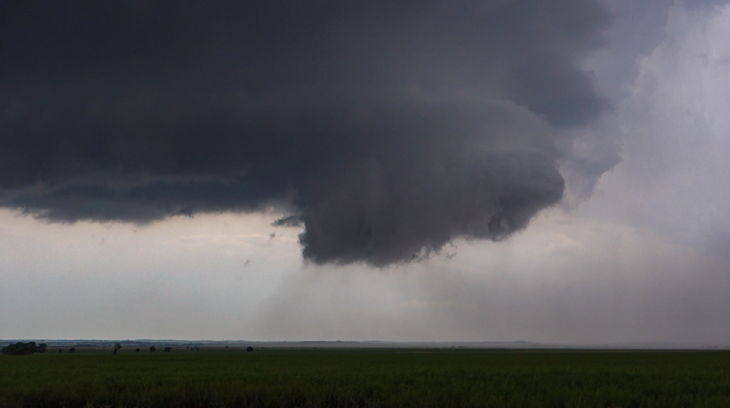
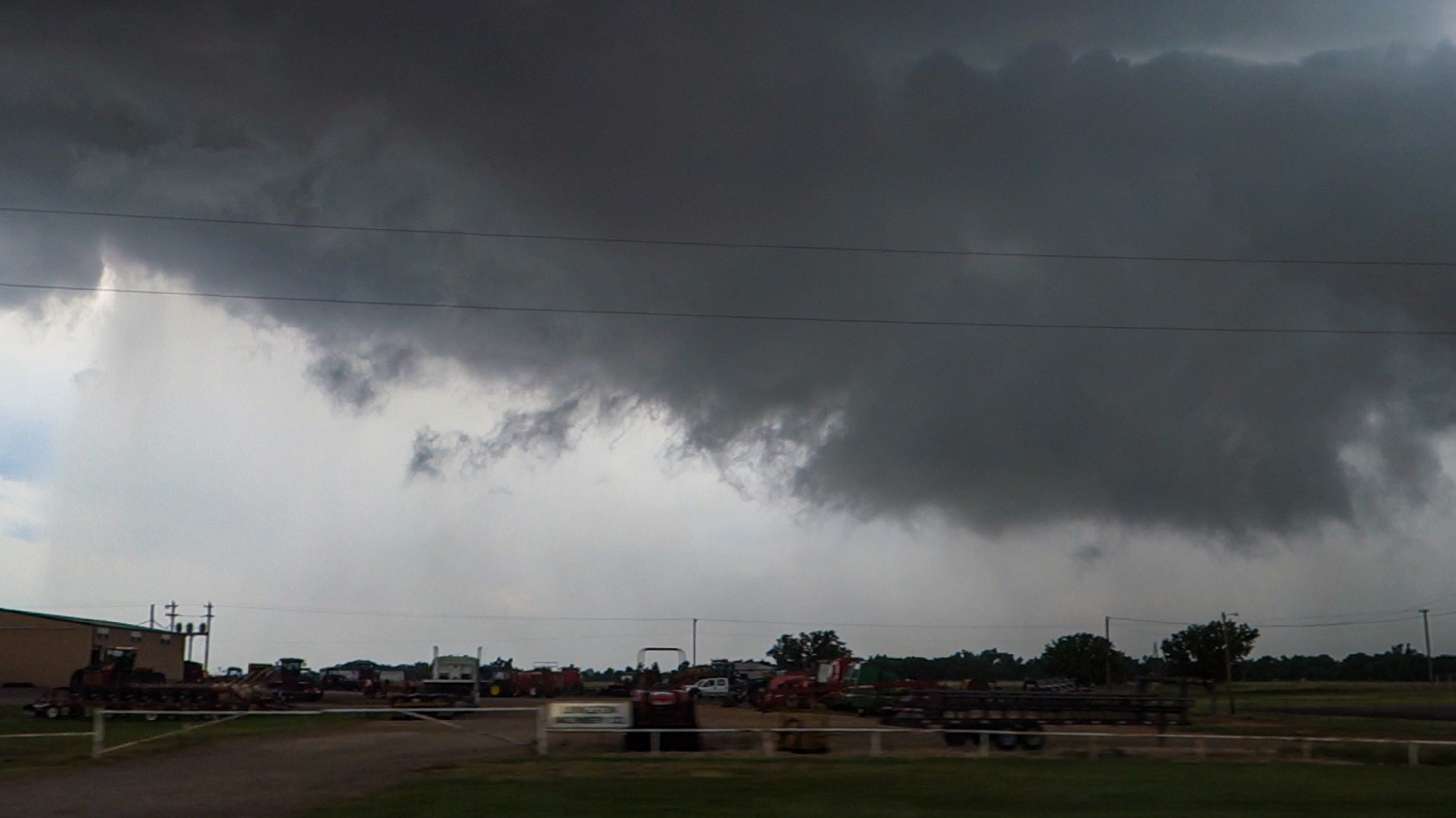
The next 20 minutes were the immaculate moments that make all the driving and hard work worthwhile. A few sporadic hail stones fell at our location, but we'd picked a perfect spot just south of the forward flank precip core. As the updraft closed in, an intense rush of moist, forward flank air was entrained into the base spawning a sharp new wallcloud. Rotation wasn't particularly intense, but I was convinced tornadogenesis was just about to happen -- and we needed to reposition fast!
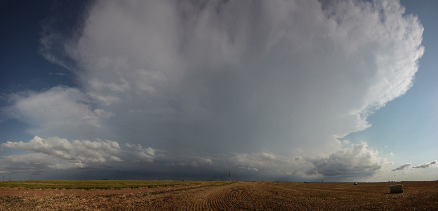
Our escape route was not the safest -- heading south across the path through Fairview before cutting east to get further ahead of the supercell. But the storm's slow 20MPH movement gave us just enough margin for error. As we gained ground further ahead, structure and appearance began to tell the real story of the storm's evolution. The forward flank entrainment I'd observed north of Fairview was not a signal for tornadogenesis, instead it was a sign that the supercell was starting to undercut itself with colder air. Indeed, as we hopped east over the next hour, each stop showed a weaker and weaker storm. By the time we bumped against the edges of the Cimarron River, the updraft column had shriveled into a ghost of its former self. But even this death provided a neat new experience. I'd never before observed the shrinking-tightening conservation-of-momentum phenomenon as clearly -- like an ice skater spinning faster as they pull in their arms.
Post-Chase
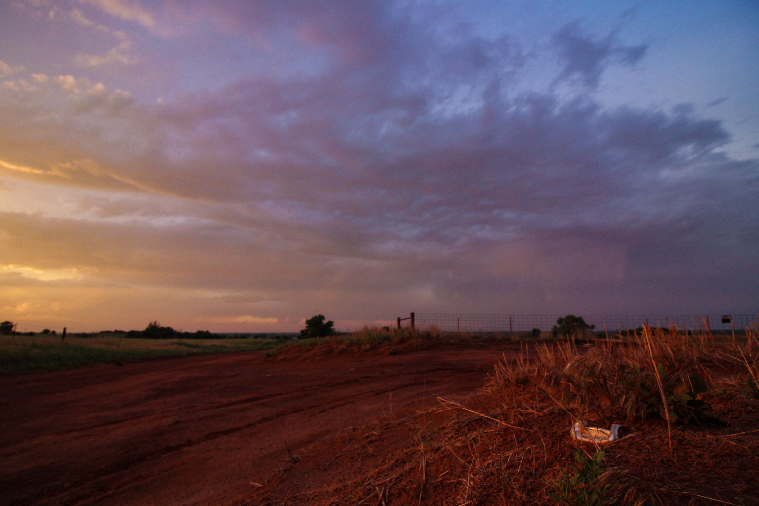
8:40 - 11:15 PM CDT: As the sun set and the updraft evaporated, we took a last opportunity to get some magic hour timelapse and drone footage before calling the chase -- for real this time. Toni picked the classic Elk City Hampton Inn as our destination for the night -- an ending spot for many past chases. As darkness settled in during our 2-hour drive, we also wrapped up the excellent Nexus audiobook by Ramez Naam -- brain hacking nanochips FTW!
A nice thing about the Elk City Hampton Inn is that you always know the Huddle House across the parking lot will be open no matter the late hour. After a great breakfast/dinner, we settled down in our comfy Hampton beds -- satisfied with a chase day that, while still challenging, eventually went far better than the initial appraisal.
Recap, Filmmaking Notes, and Lessons Learned
- Despite our last-minute success, it's hard to call this day anything but a frustrating bust. The initial target on the triple point in NE KS was worthless; glad we dropped south. But it's also striking how little developed along the modified outflow boundary in north central OK. At least I feel like we got as much from this day as we could.
- The early storms that provided such a frustrating Whac-A-Mole chase were all behind the OFB and thus were likely doomed from the beginning because their parent airmass did not have enough time to modify. A wiser, more patient chaser might have recognized this and waited for later initiation further west rather than chasing every little popup cell.
- If it's daytime in May, never turn off radar and give up on the day. The atmosphere can always surprise you despite your preconceived notions from stale model outputs.
