Date: May 20, 2019
Time: 2:25 - 7:30 PM CDT
Place: Wellington, TX and Mangum, OK
Distance: 443 mi (215 positioning, 168 chasing, 60 to hotel)
Camera: T3i, GoPros3 & 7, Note5, Note9
Warnings: SVR, TOR
Rating: S5
Pre-Chase
May 19, 12:15 PM - 2:45 PM CDT: Yesterday was a relatively low-key chase, but it heralded a much scarier event to come, as the SPC issued a rare Day 3 Moderate (something I can only recall for a couple other days: May 9, 2015, and April 14, 2012).
First things first, after our brief venture into the wet Nebraska sandhills two evenings prior, the Crosstrek was in desperate need of a wash and repair of whatever debris was causing an awful grinding sound. After removing the front passenger tire, I found the culprit -- one tiny pebble caught in the rotor. A quick pry out with the flathead screwdriver and we were back to a quiet car. Time for some celebratory Sunday afternoon Rib Crib.
May 19, 2:45 PM - 9:00 PM CDT: Storm chasers exist in a time bubble. We float through tiny plains towns practically oblivious to the day of the week or the work rhythm of the residents -- focused on the only rhythm that matters: the daily convective cycle. For some reason, as we made the 3-hour trip from Enid to Altus, I was particularly aware of this out-of-time feeling. Maybe it was the calm before potential doom tomorrow. Maybe it was just being in SW OK, which always gives me nostalgia for our first plains chase back in 2012. Whatever the case, stopping briefly near Hobart to soak in the serene evening vibes, there was nevertheless something eerie in the air.
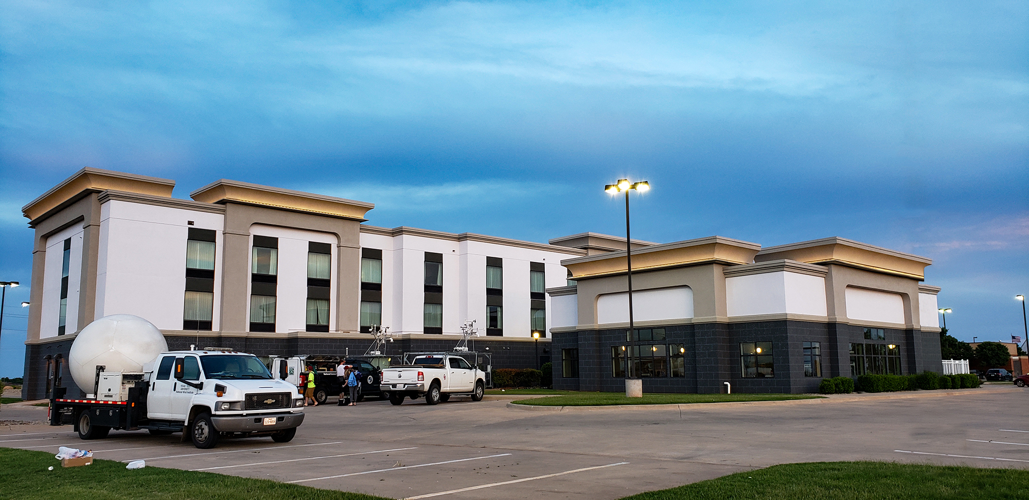
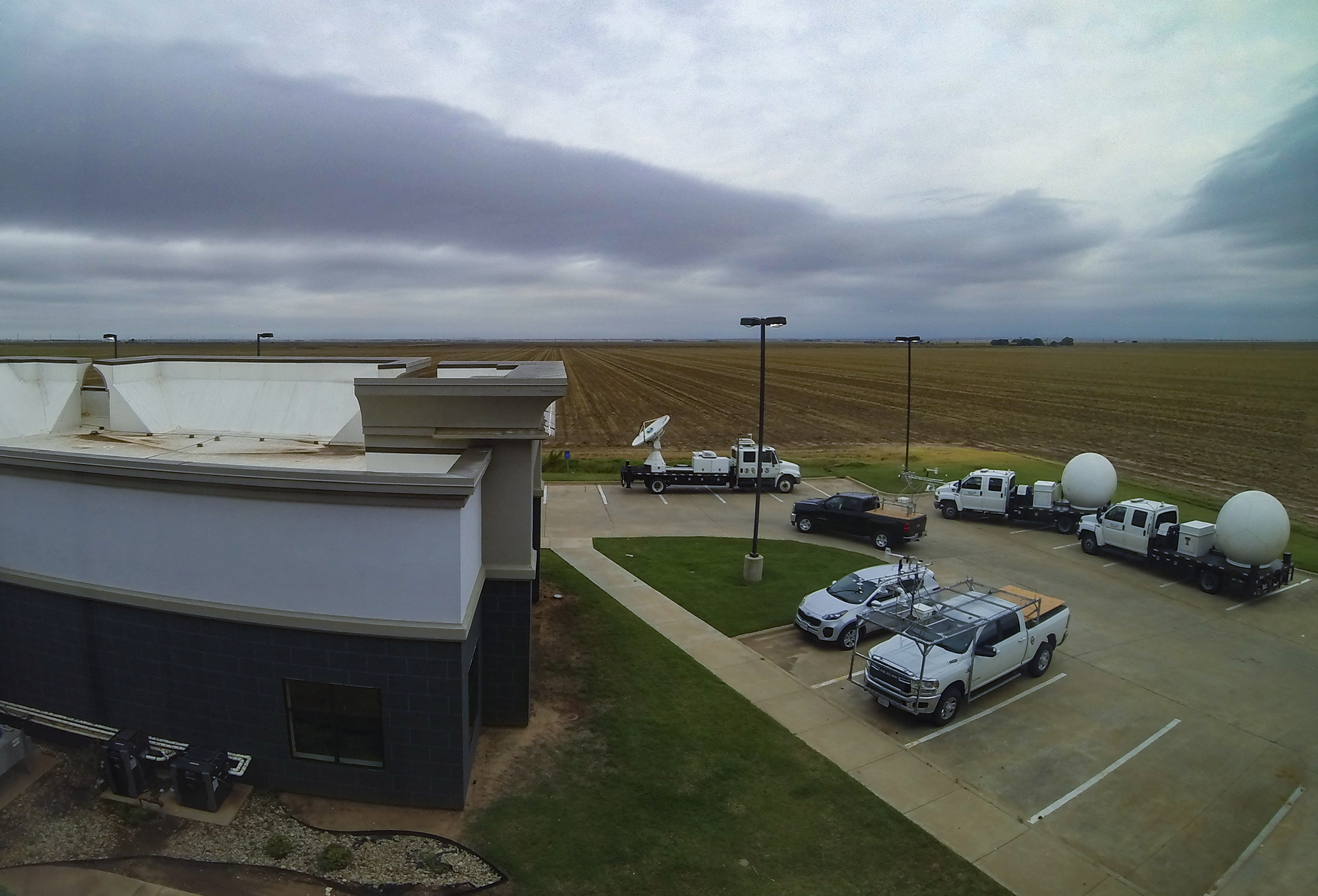
Checking in at the classic Altus Hampton Inn, outside our window we were soon greeted with all manner of mobile mesonets, DOWs, and RaXPols. It was a true menagerie. Next door at the Applebee's, chasers took up every table in the restaurant. And amongst them was a common whisper: would the SPC go high?? Back in our room with that very question in my head, we watched the Game of Thrones series finale before bed. (To this day, I've only seen two GoT episodes, the pilot and the finale. I think I got the gist.)
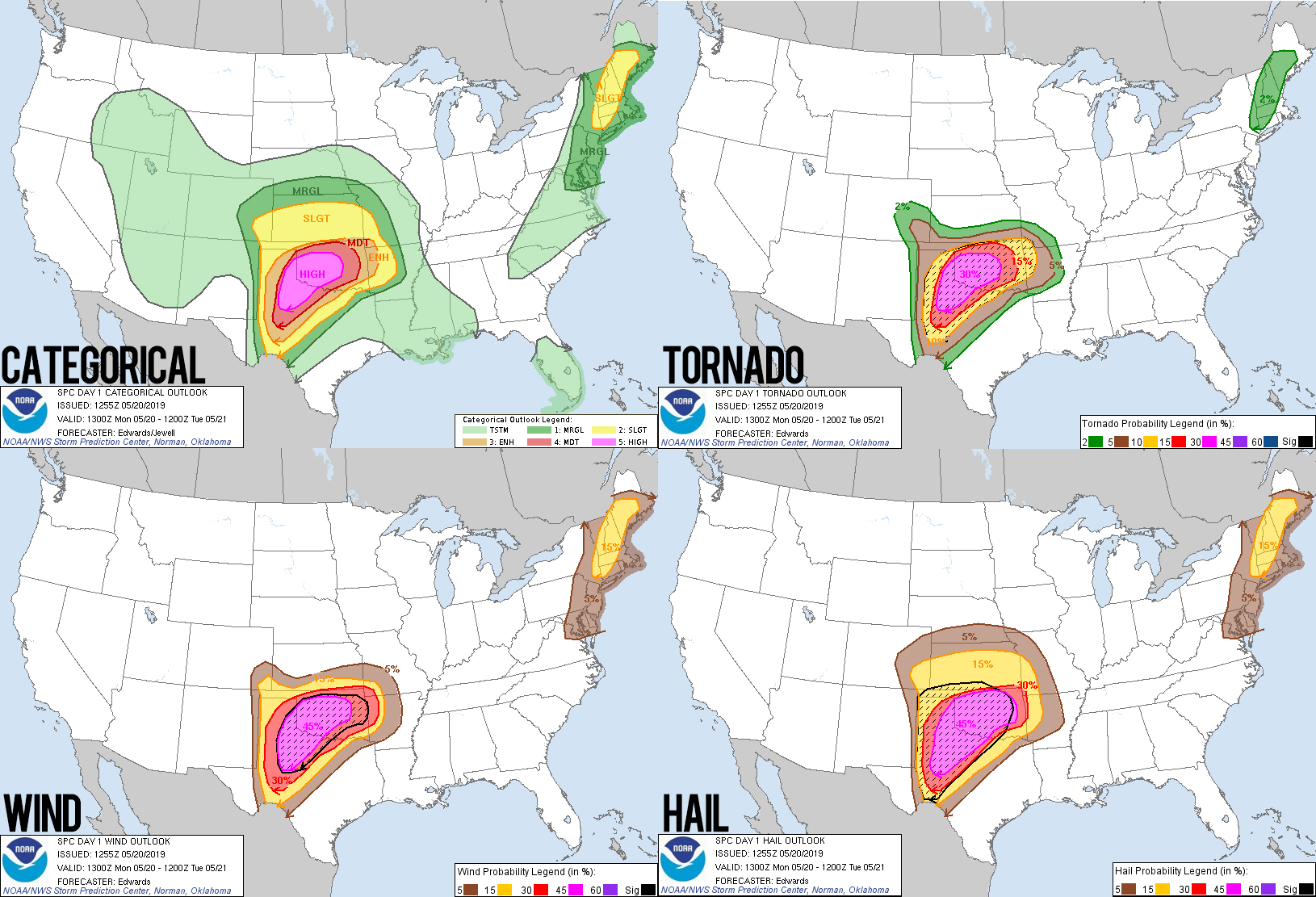
May 20, 5:00 AM - 2:25 PM CDT: I couldn't sleep; nervous anticipation was already growing. At 5AM I finally gave up and checked the SPC website. And there it was: the anticipated yet dreaded Day 1 High. From the outlook:
As the mid-level jet ejects northeastward across the southern High Plains this afternoon and evening, a tornado outbreak is likely across the southern Plains. The tornado outbreak is expected to continue into the overnight period. This event should result in a significant threat to life and property.
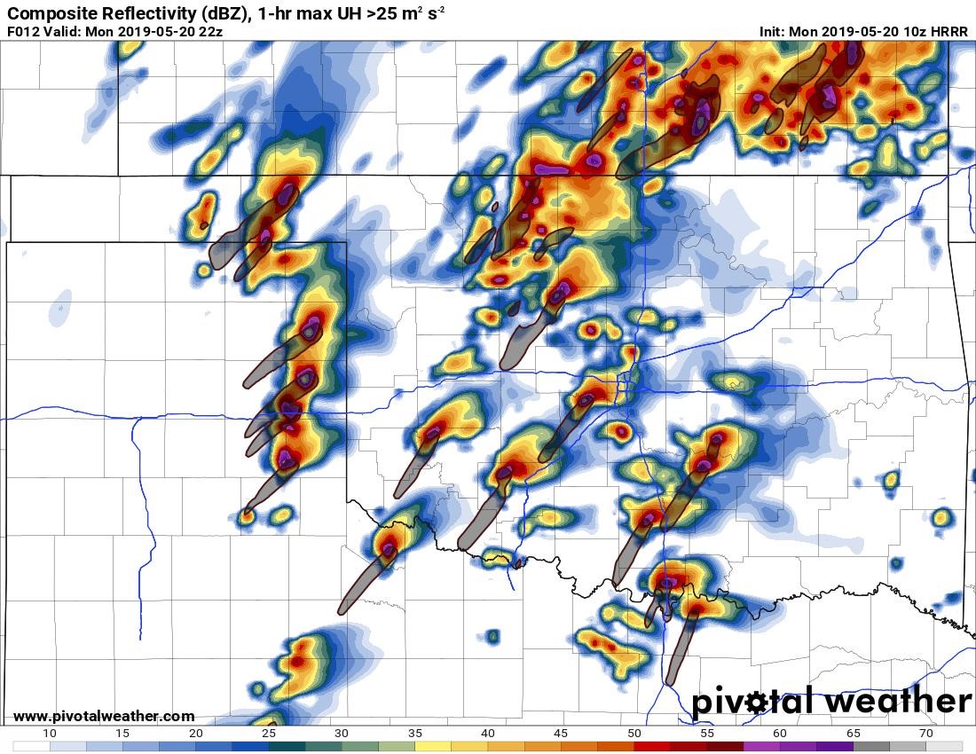
Next I checked the latest HRRR run, and that was the moment I laid eyes on the most legendary CAM run ever simulated. So many supercells, on the dryline, the open warm sector, the warm front, each with a monster helicity track and nearly all storms threatening a metro or large town. It was an absolute nightmare scenario.
The rest of the morning was spent poring over models, chatting on storm chase Discord, and regailing Toni with tales of the obscene parameter space. Little did I know how much my reports were impacting her nerves. And to be fair, I wasn't far behind. Even though the HRRR said "sit anywhere and let the tornado come to you," I opted to head west to Hollis, OK just to be in striking range of any early dryline storms. Wildfire smoke from Mexico added an extra tinge of oppressive apprehension as we awaited initiation. And while the wait seemed to last forever, by 1:30 we had blips on radar. Ready or not, it was high risk chase time.
High Risk Chase
2:25 - 4:30 PM CDT: As the worst case HRRR runs suggested, initation was underway both along the dryline to our southwest and in the open warm sector to our southeast. But rather than fret the decision, I was all in on the dryline storms, particularly a new middle-of-the-line cell moving towards Wellington, TX. It seemed to have just enough separation to remain discrete while avoiding the hoard on a more obvious Tail End Charlie south in Texas.
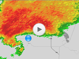
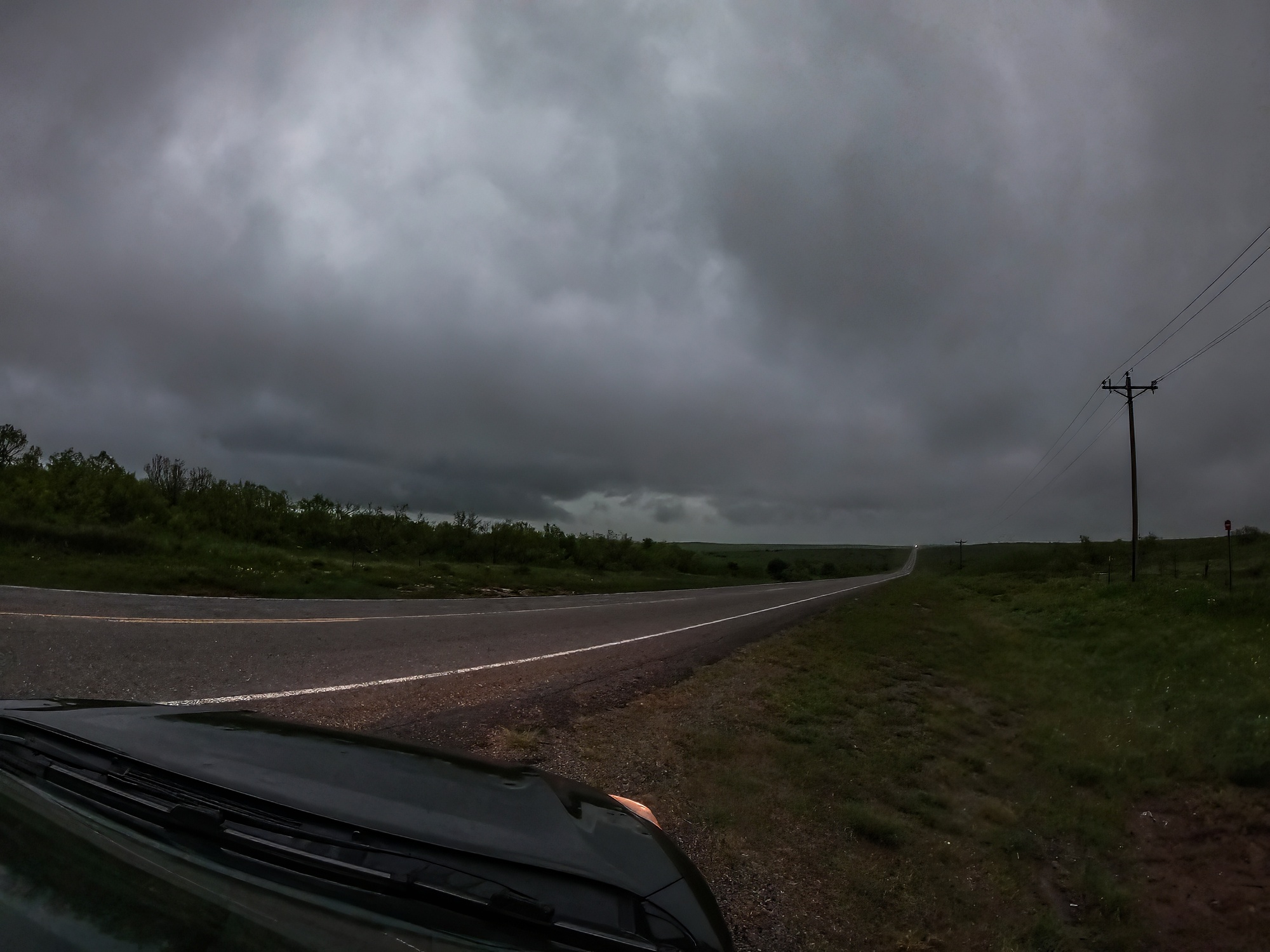
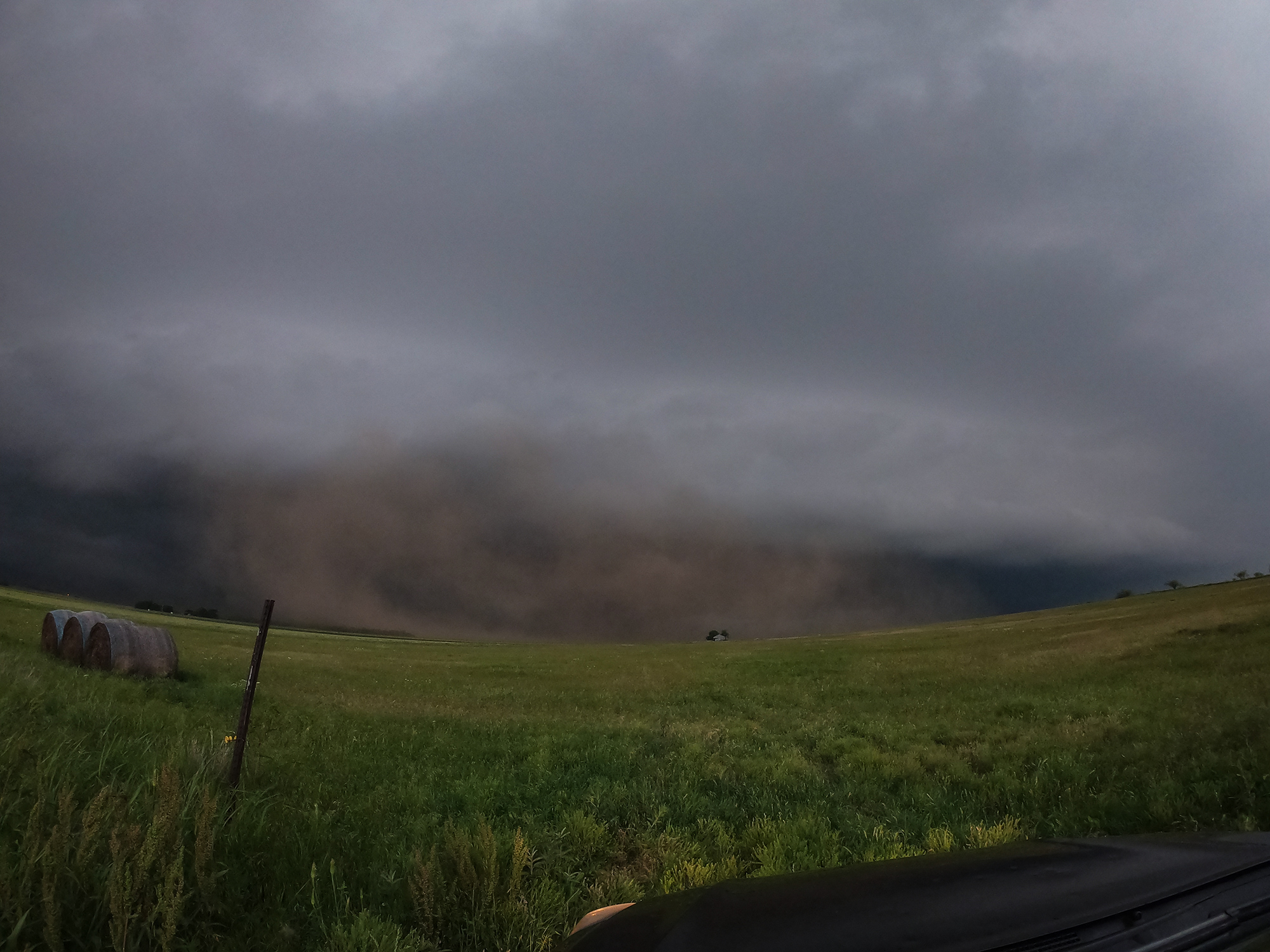
Approaching the Hwy 62/83 intersection, I noted how creepy it felt that we still couldn't see storm structure due to all the smoke -- as if a monster was out there in the mist but we just couldn't see it. But radar told the clear story: a nice hook was organizing only 12 miles to our southwest. Roads between Memphis and Wellington, however, were not so cooperative. So for the moment, we held our ground without a view.
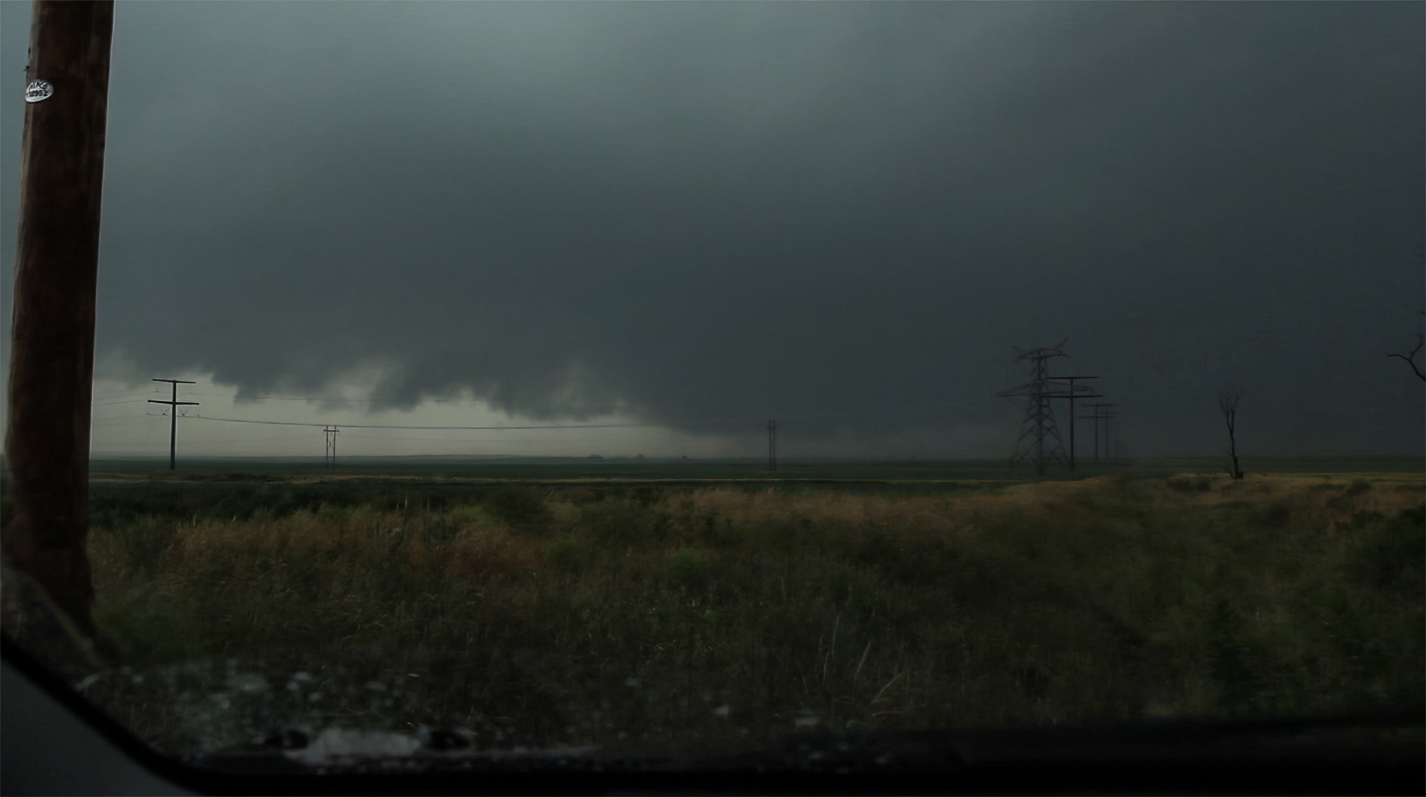
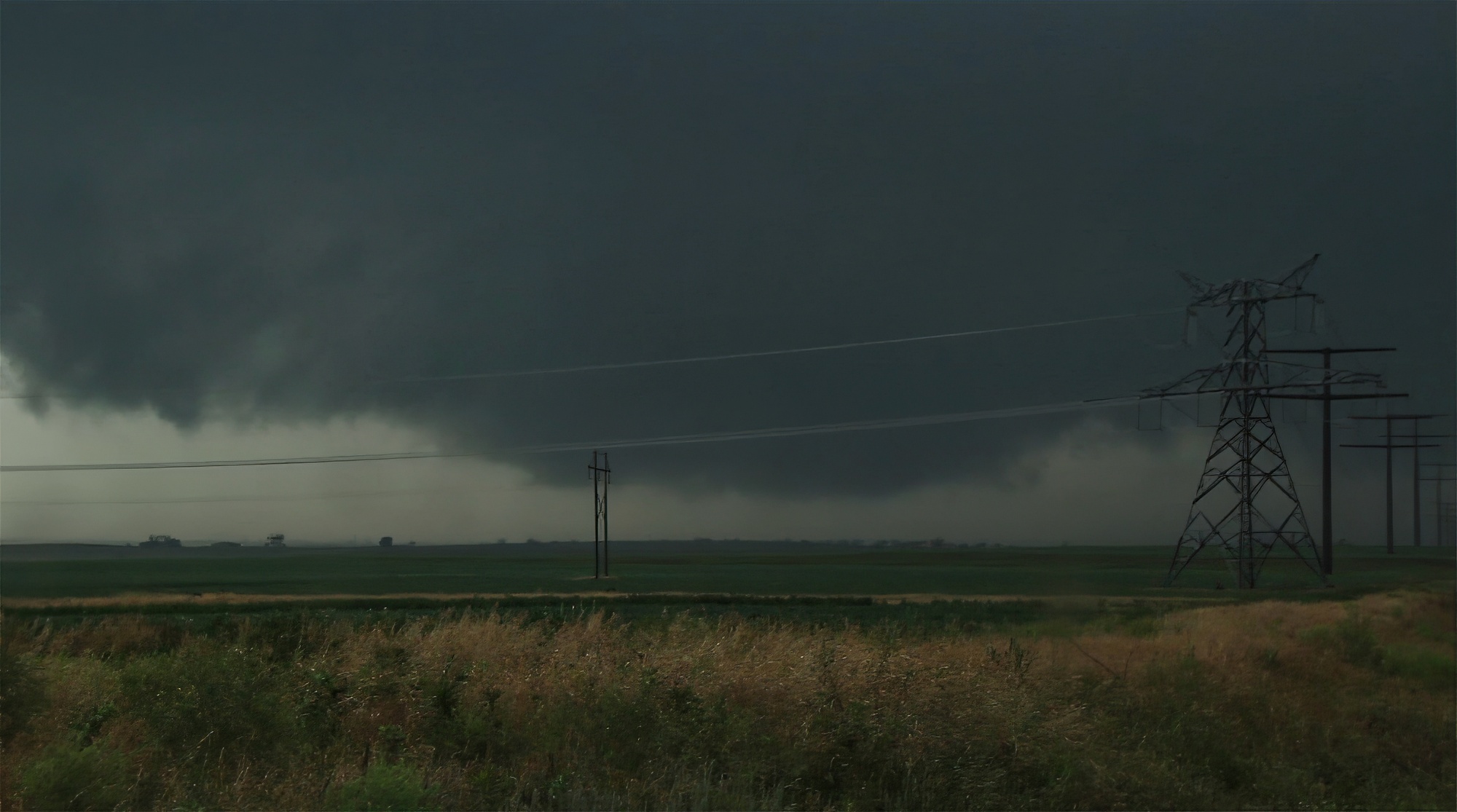
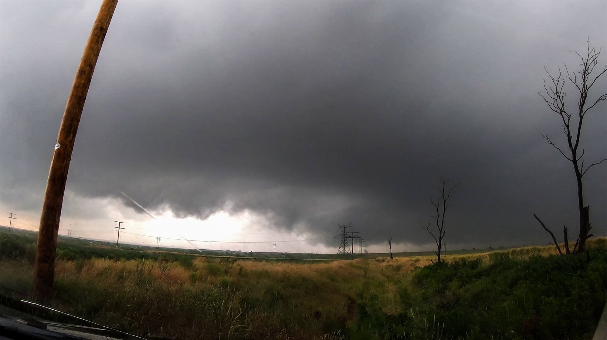
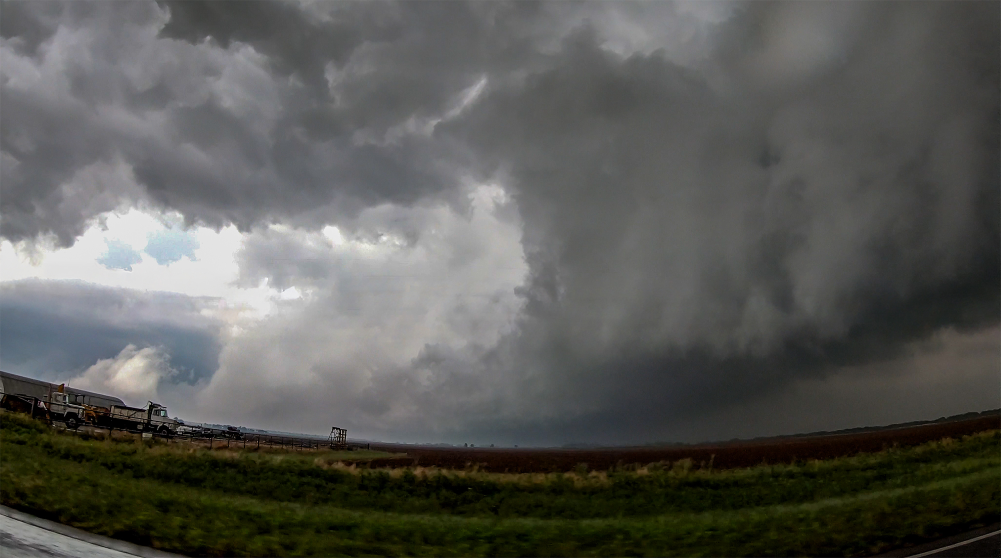
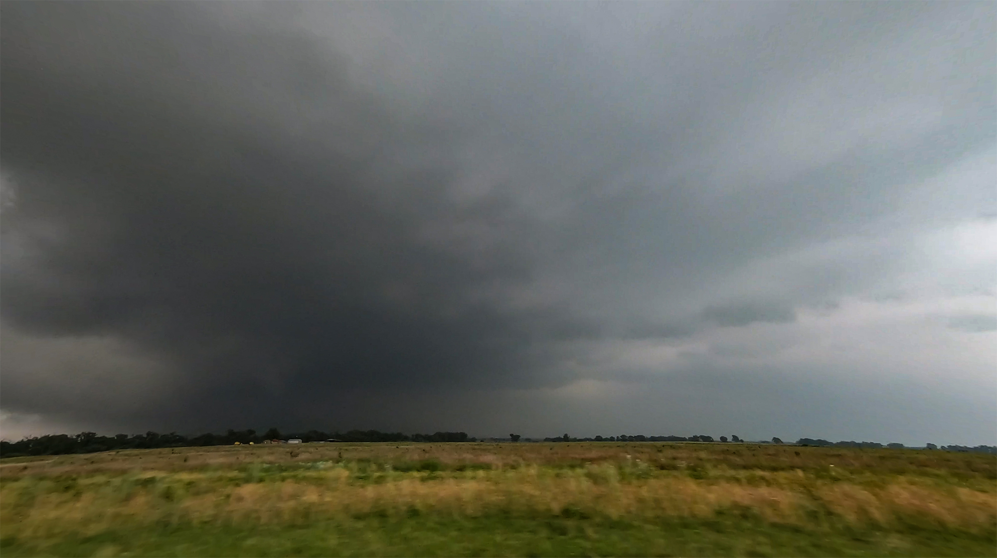
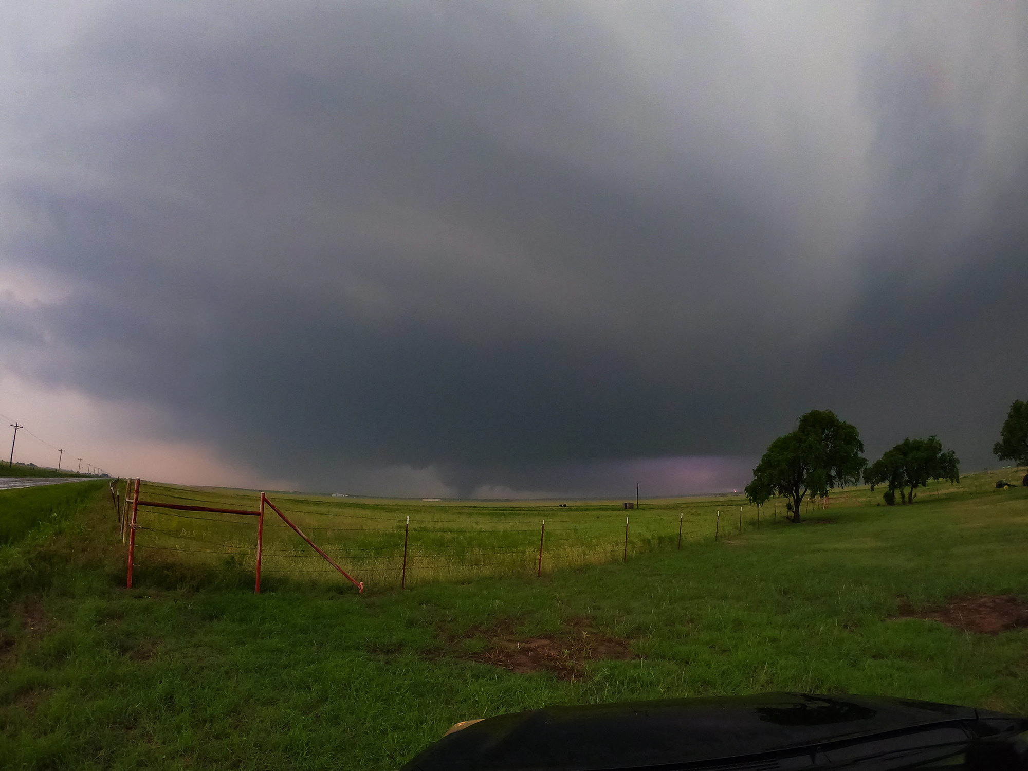
Storm motion had a direct bead on Wellington, so our intercept route was an easy jog north. At 3:26PM, the cell went tornado warned and we pushed north to maintain a position along the fringes of the forward flank precip. And finally, just a few miles south of town, we caught our first view of the base.
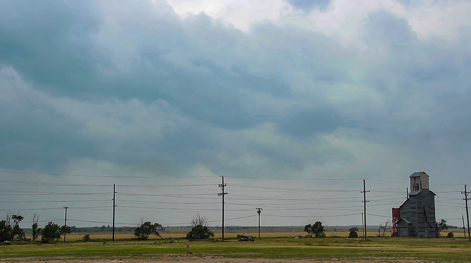
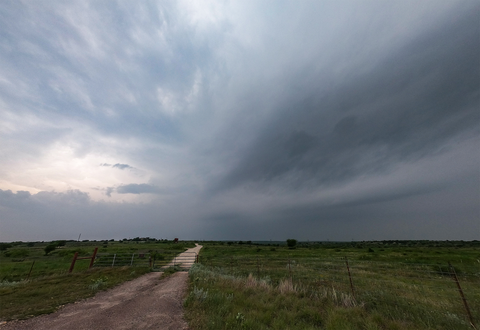
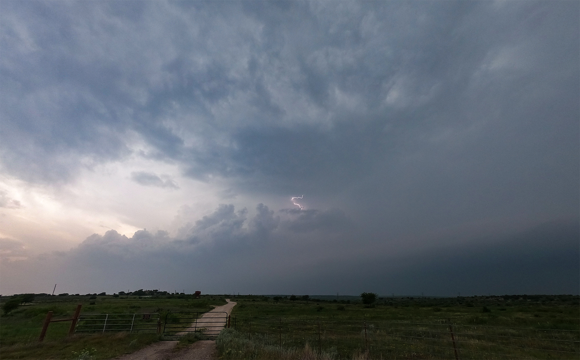
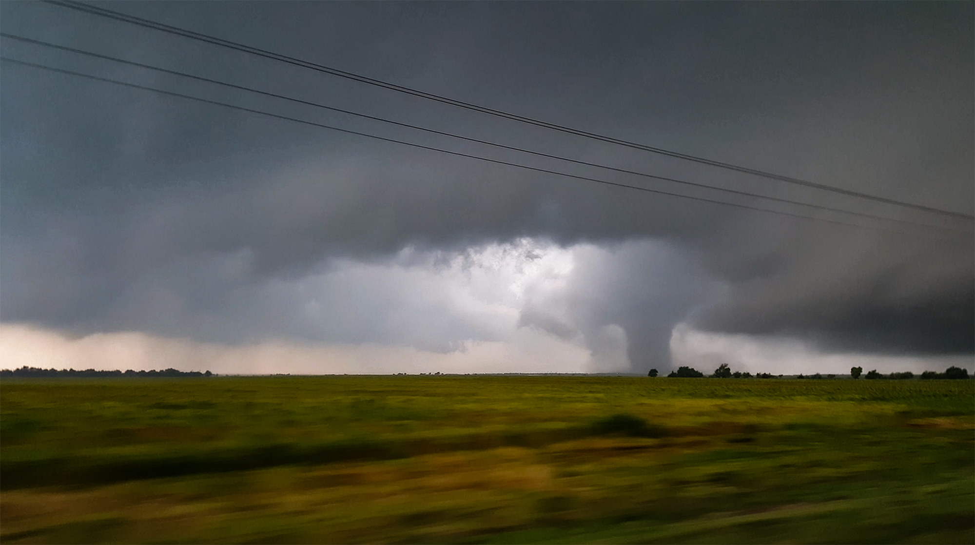
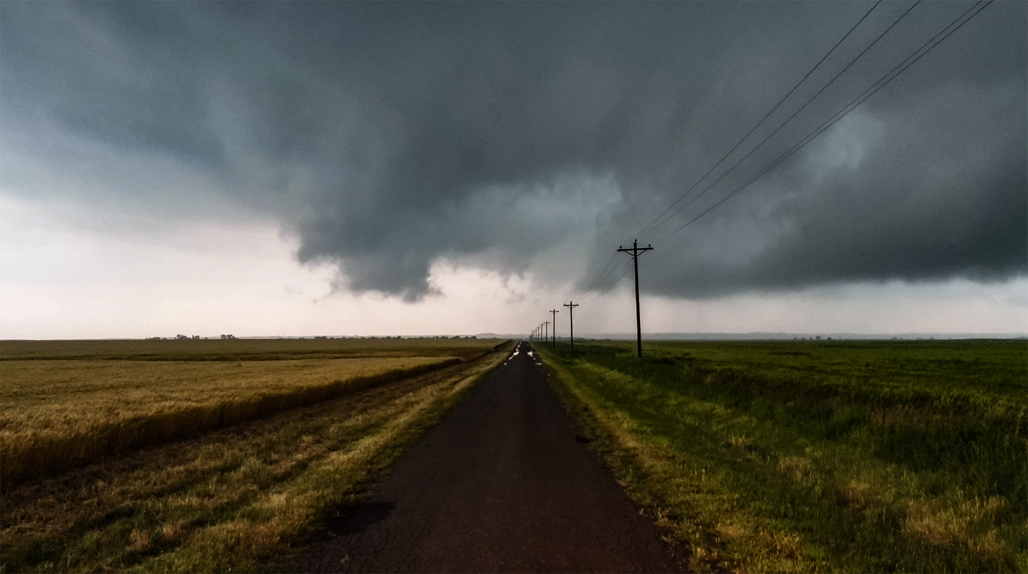
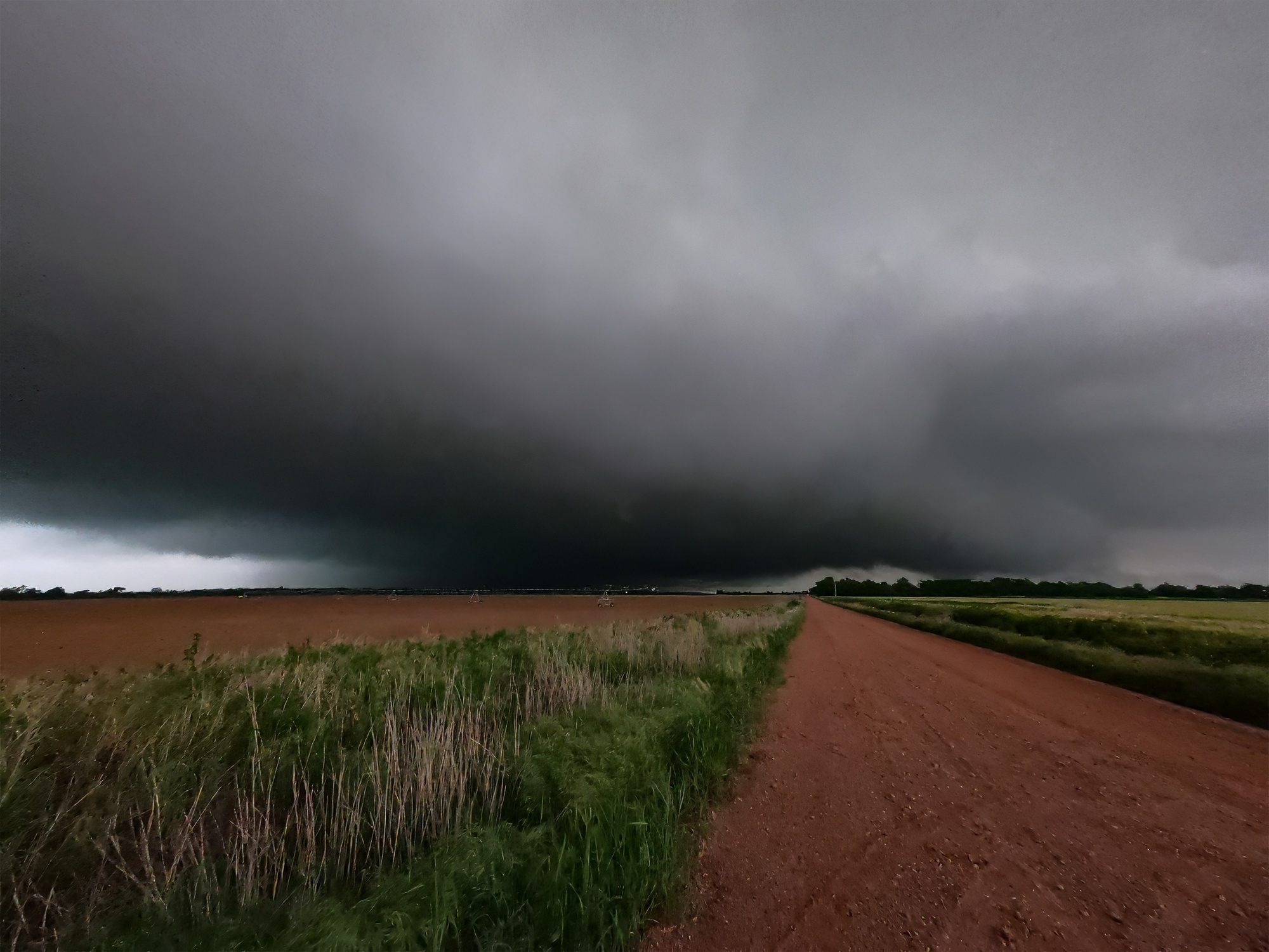
To our west, an intimidating bowl lowering emerged from the murk. This was it. We were in absolutely prime position in the flattest part of the panhandle with perfect positioning. Except ... sporadic ping-pong hail pelted the Crosstrek making this an in-car filming situation. Adding to that, high-tension power lines obstructed our perfect shot -- the bane of any well-composed storm photo. But who cared, the main event was just about to start, right??
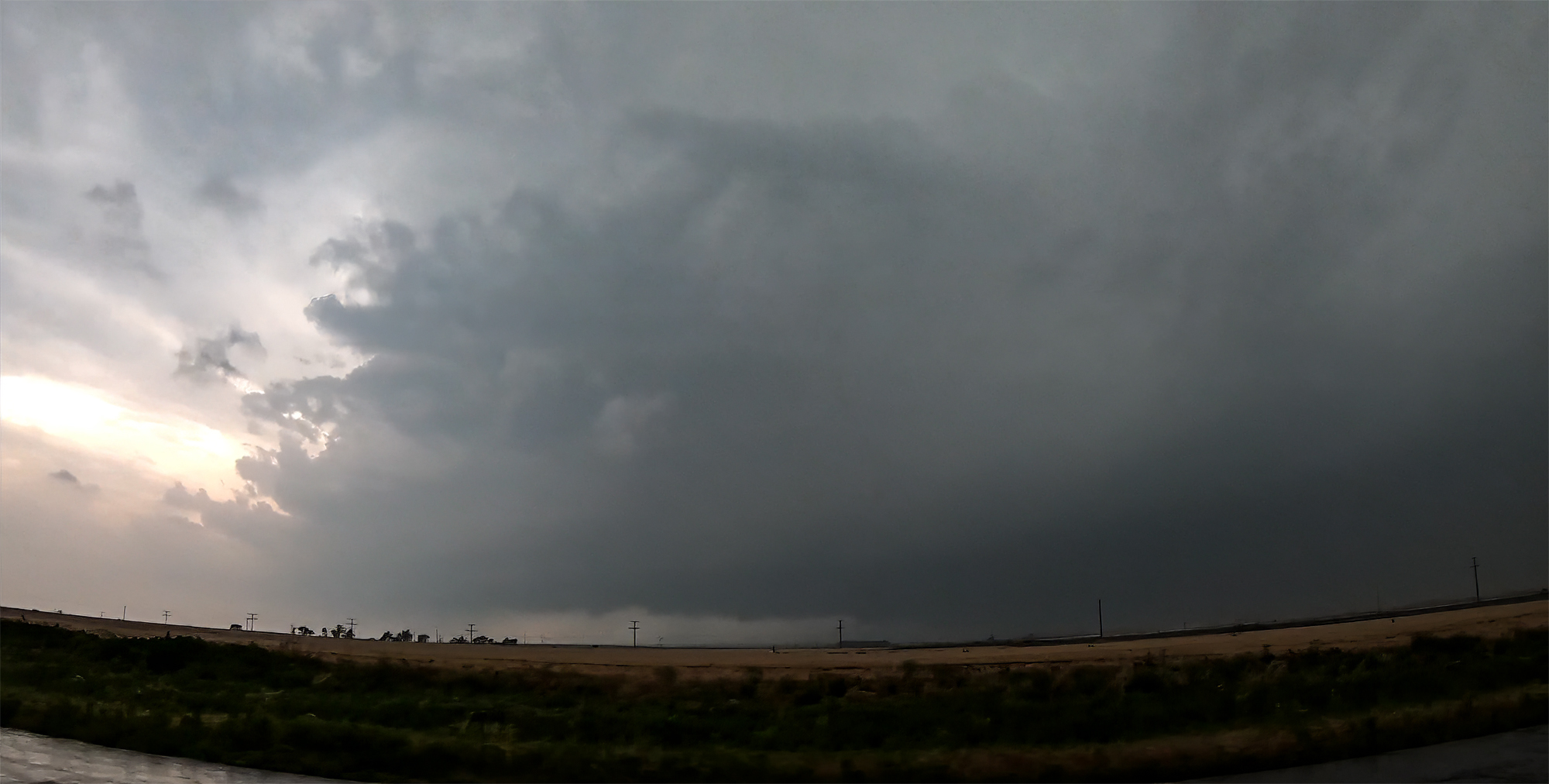
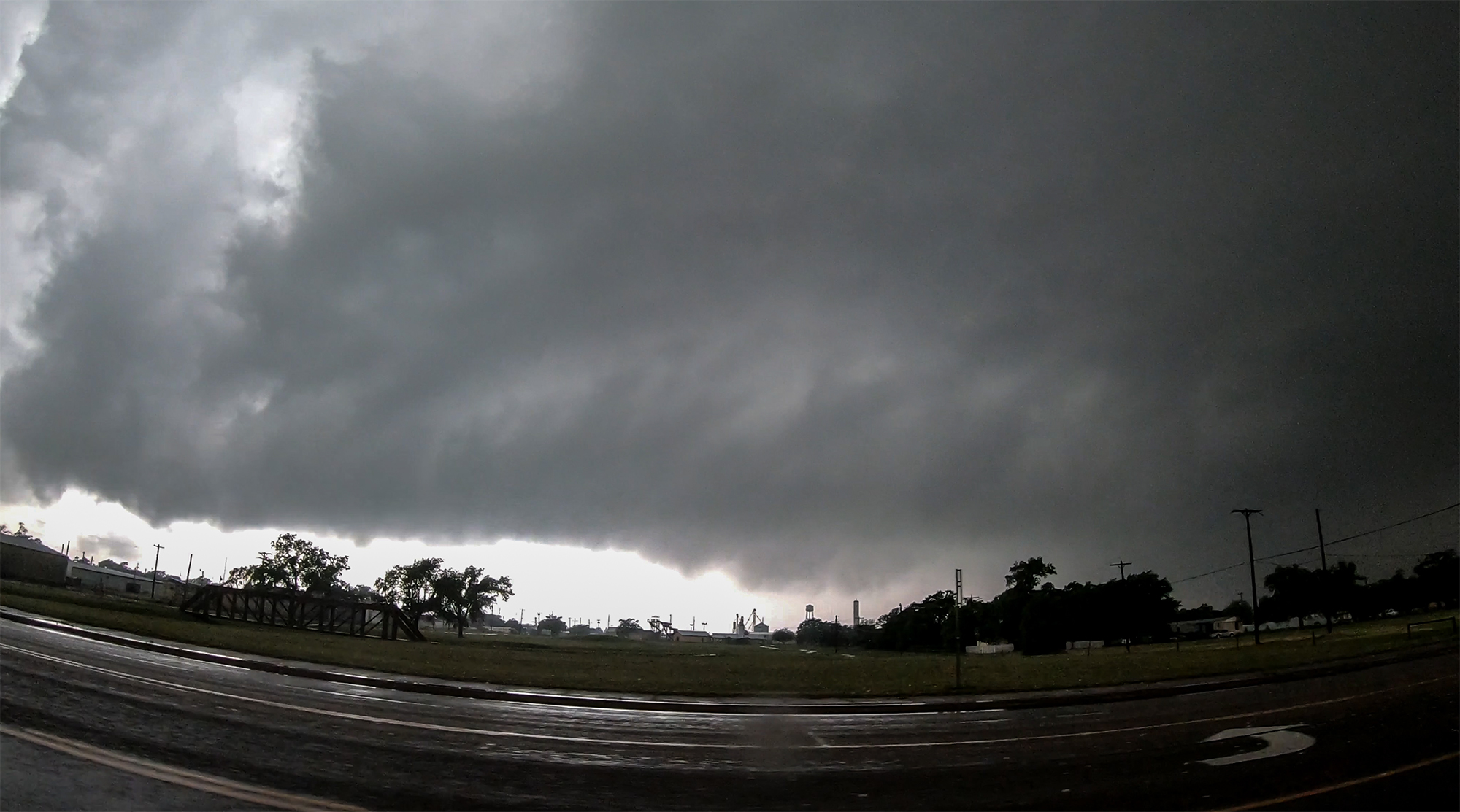
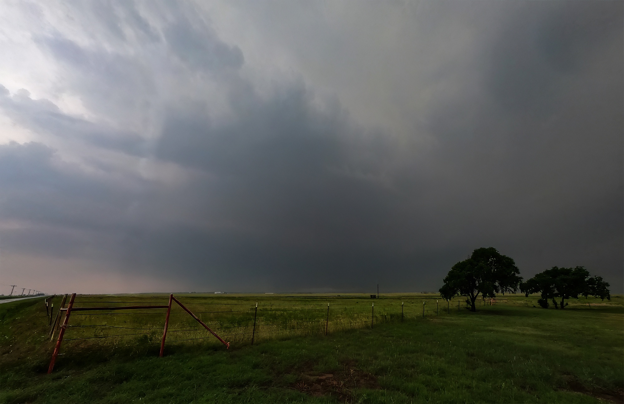
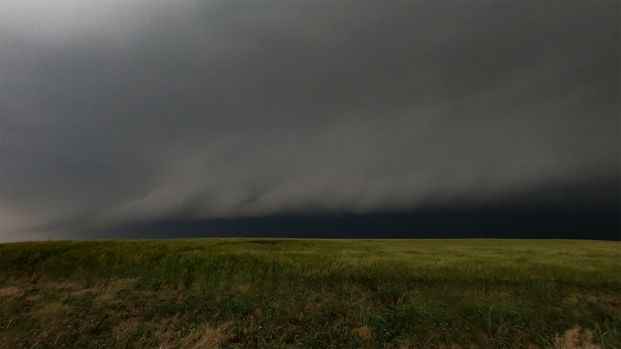
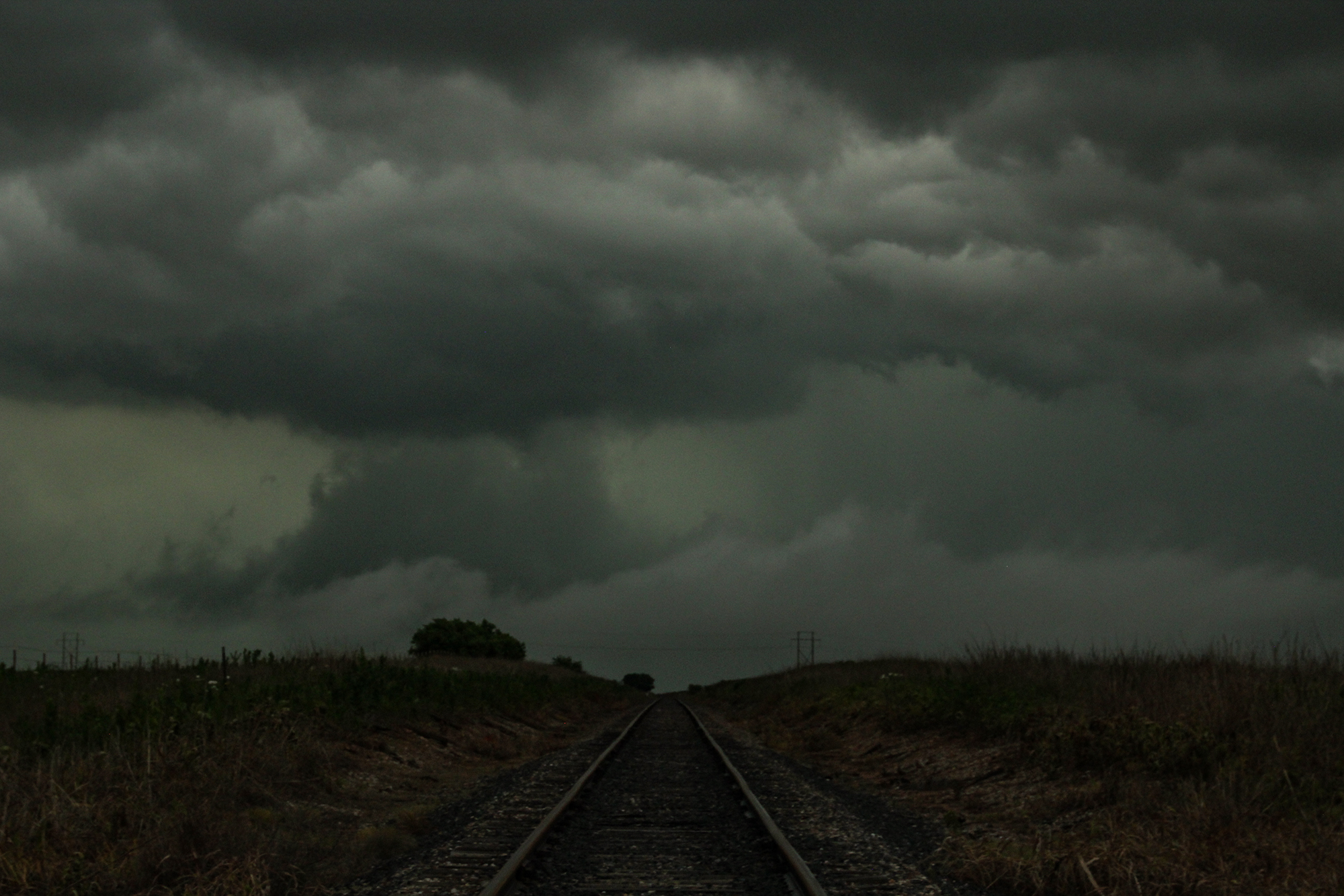
Well, fortunately for Wellington, the bowl lowering fell apart as the supercell began another cycle. Feeling teased but thankful the town was spared, we pursued north to the main east/west intersection, noting lots of weirdly-shaped baseball-sized hail on the ground. Because the Salt Fork Red River cuts a path NE of Wellington, we couldn't immediately stair-step with the storm to keep up -- a longer jaunt east on Hwy203 was needed before intercepting again north on Hwy30. Our storm view was lost during this 20 minute detour, but what emerged again on the other side was definitely not what I was hoping for. A surging, ground-scraping shelf cloud had undercut the supercell during our reposition. Morning storms to the north had turned the warm-front into a sharp, outflow-driven cold front. And our storm was one of the first victims. We needed a new target.
4:30 - 5:30 PM CDT: Our next target was obvious: Tail End Charlie just now entering Oklahoma. The intercept route was just as obvious, retrace our steps south and then cut east on Hwy9 towards Mangum -- exactly where the supercell was headed. Toni was already nervous, and this route required a core punch, but we were far enough downstream that she agreed the timing was safe.
At 4:55, we entered the core. Deep, reverberating positive lightning strikes rocked the car, but otherwise it was surprisingly smooth sailing. I was actually shocked by the total lack of hail. 15 minutes later, we arrived 1 mile east of the Hwy9/283 intersection, NW of Mangum and directly in the path of the approaching hook echo. Despite the relatively easy core punch, Toni's anxiety was growing. Then, 3 things happened at once that sent her over the edge. First, RadarScope (our cellphone radar app) stopped updating, likely due to the hoard of the other chasers all pulling updates at the same time. Second, an updated PDS tornado warning hit our phones stating:
At 515 PM CDT, a confirmed large and extremely dangerous tornado was located 7 miles southwest of Mangum, moving northeast at 30 mph. This is a PARTICULARLY DANGEROUS SITUATION. TAKE COVER NOW!...You are in a life-threatening situation.
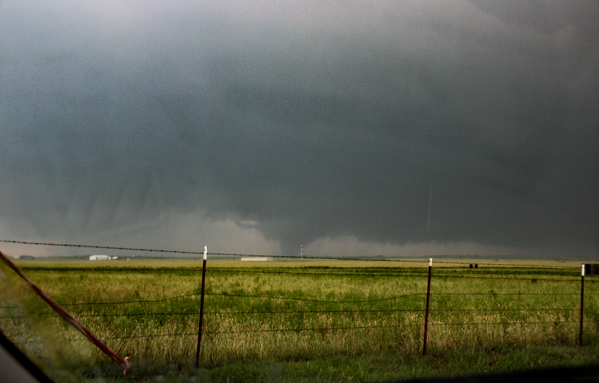
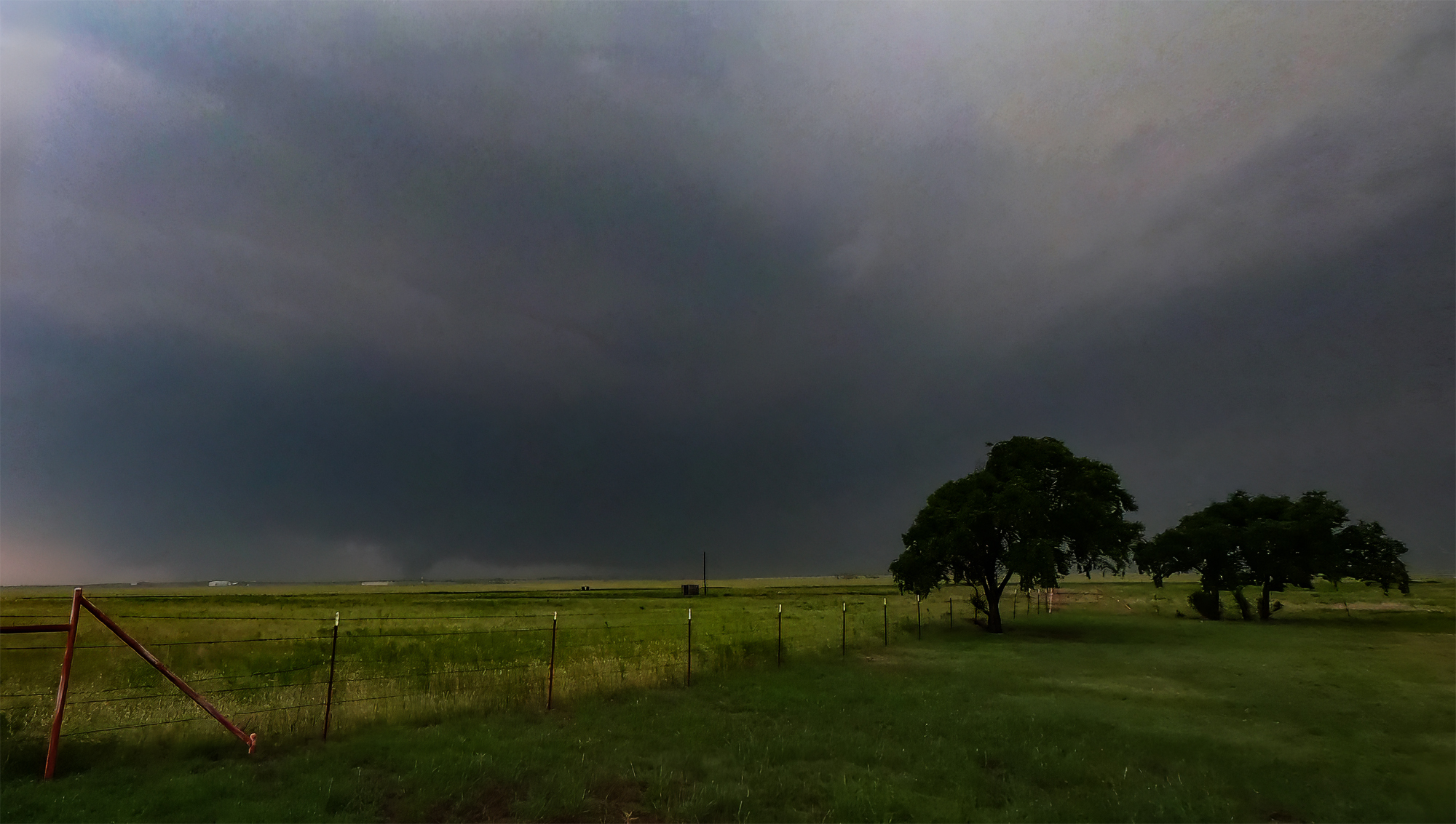
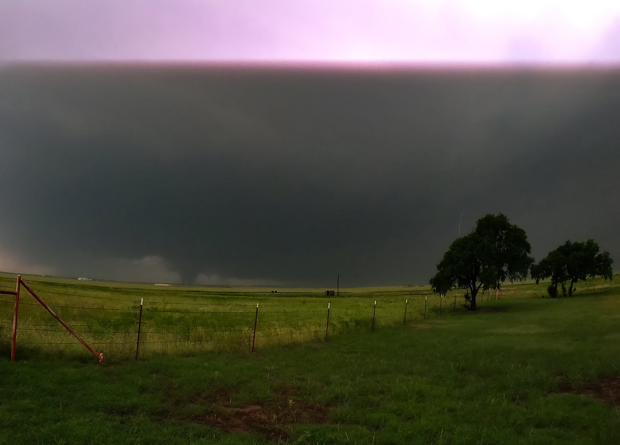
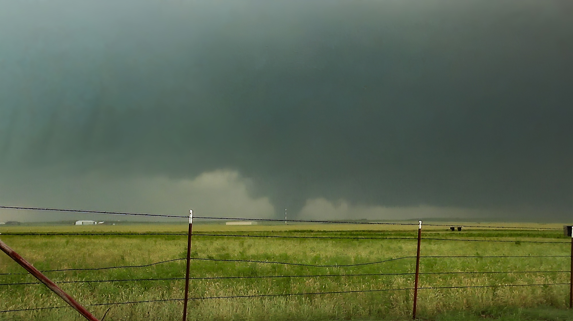
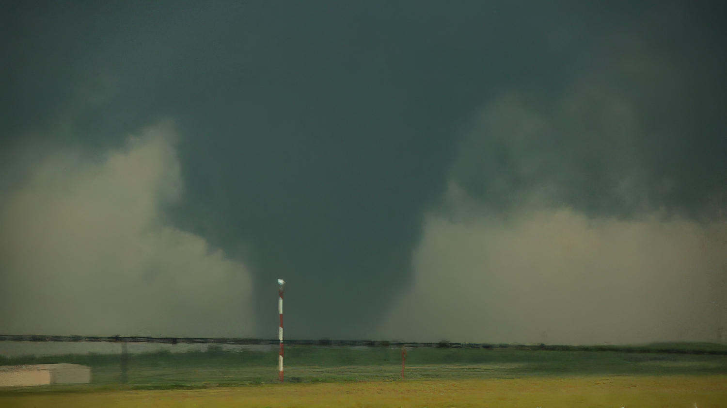
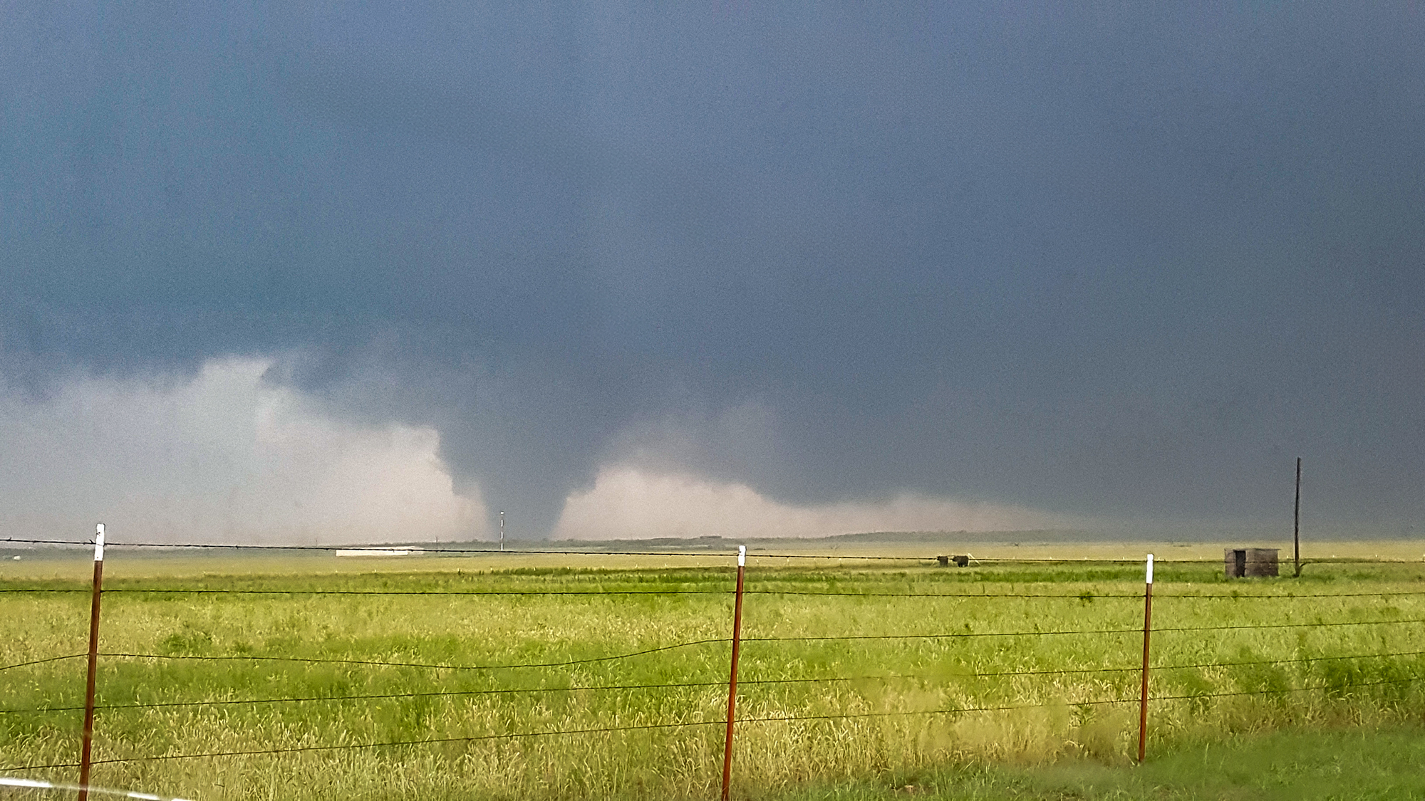
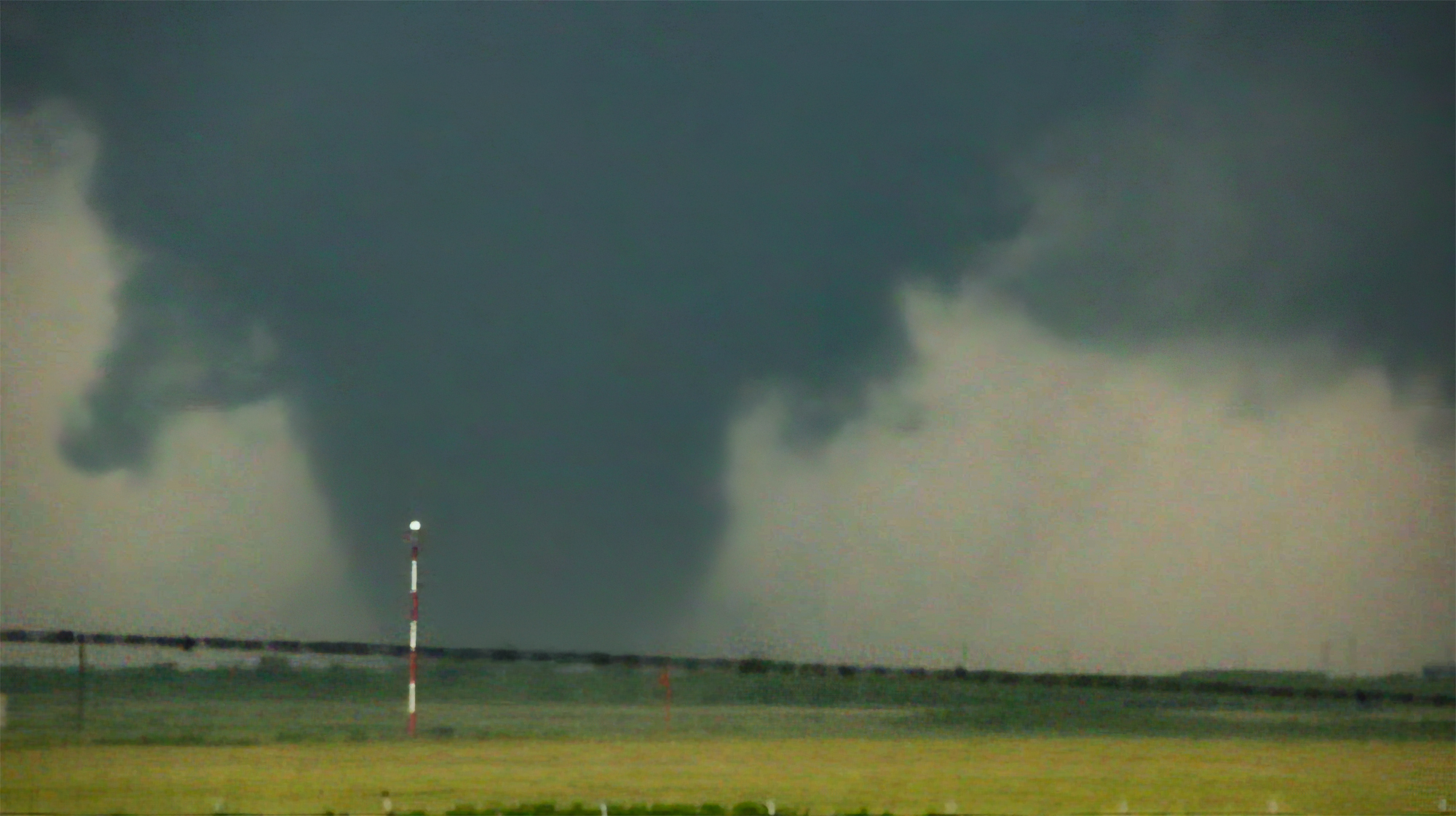
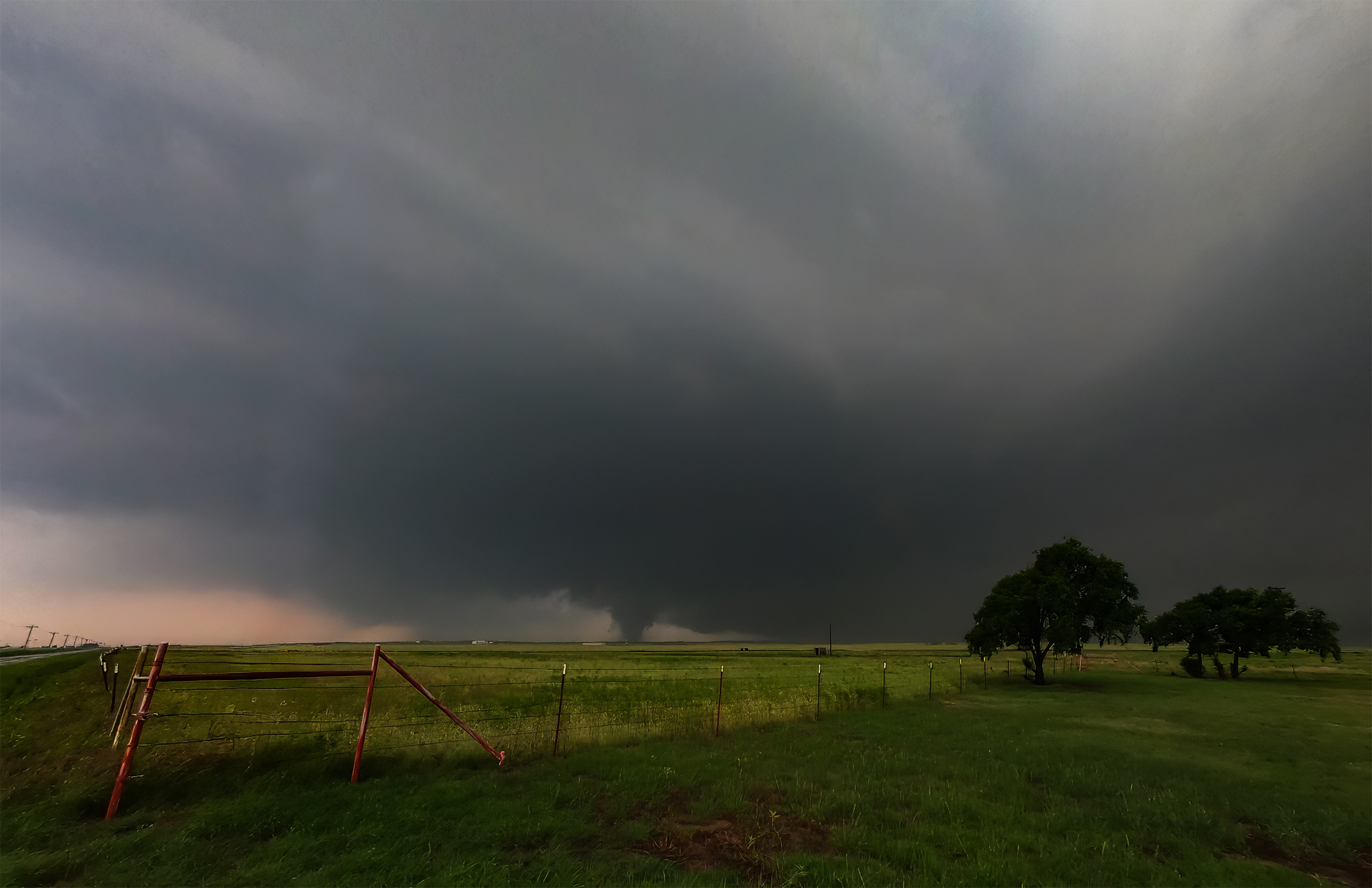
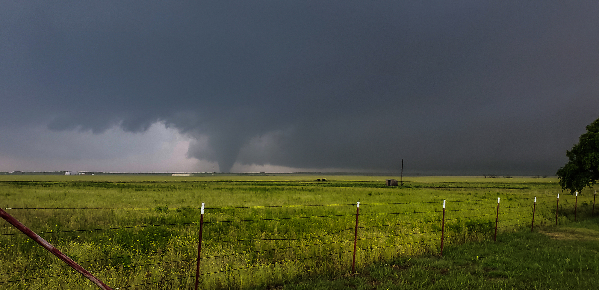
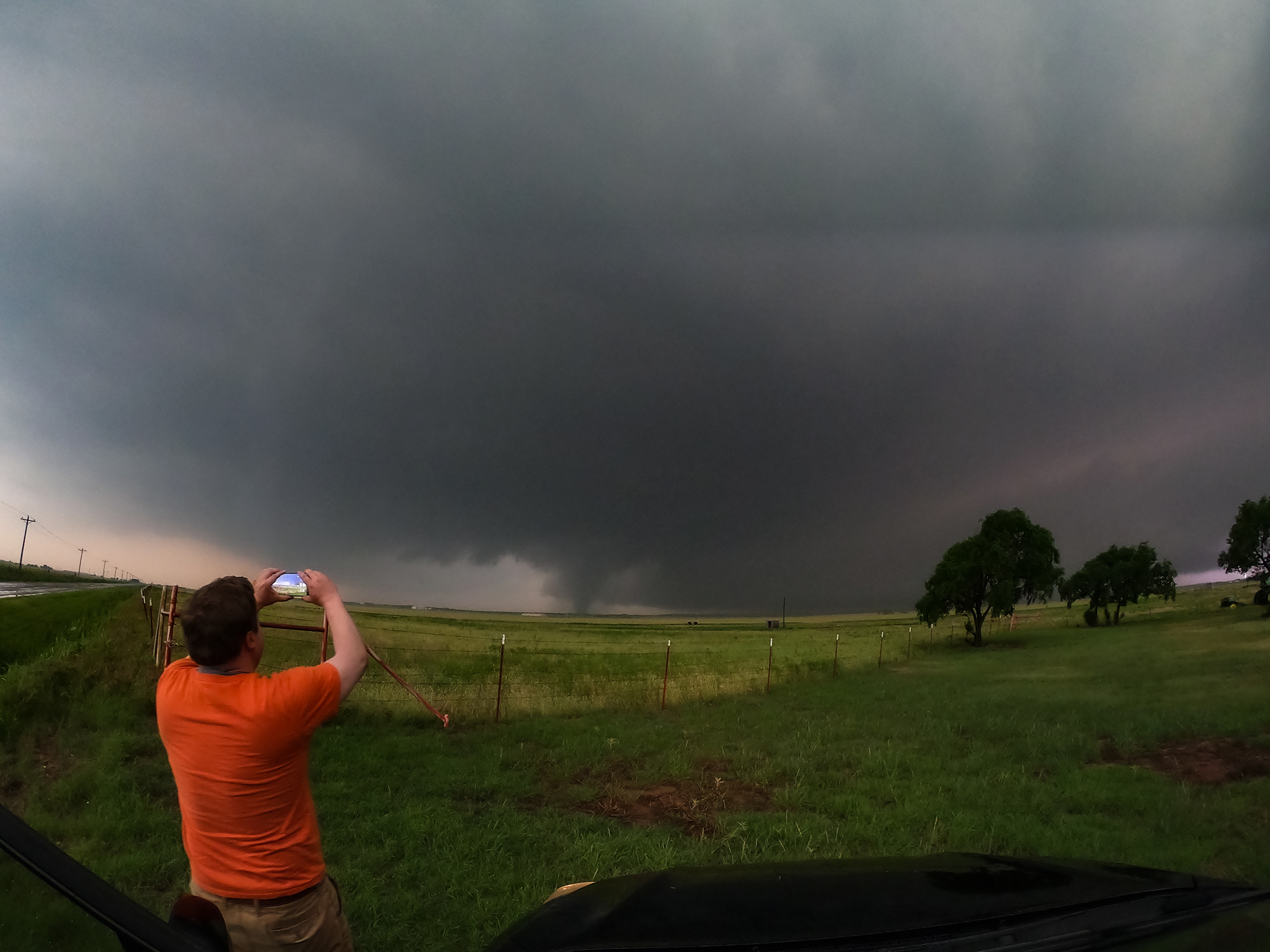
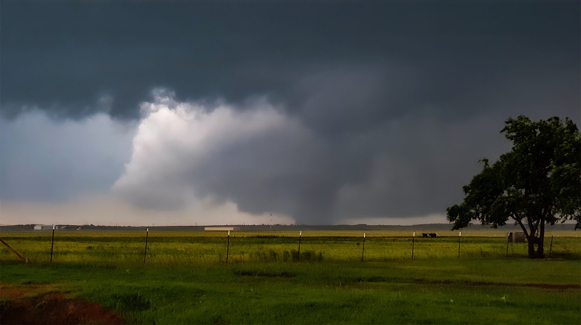
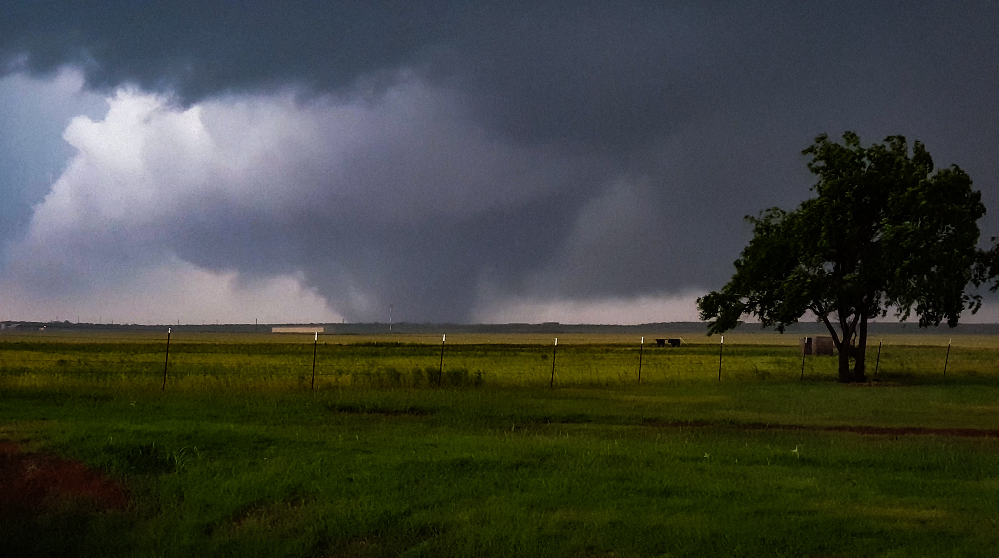
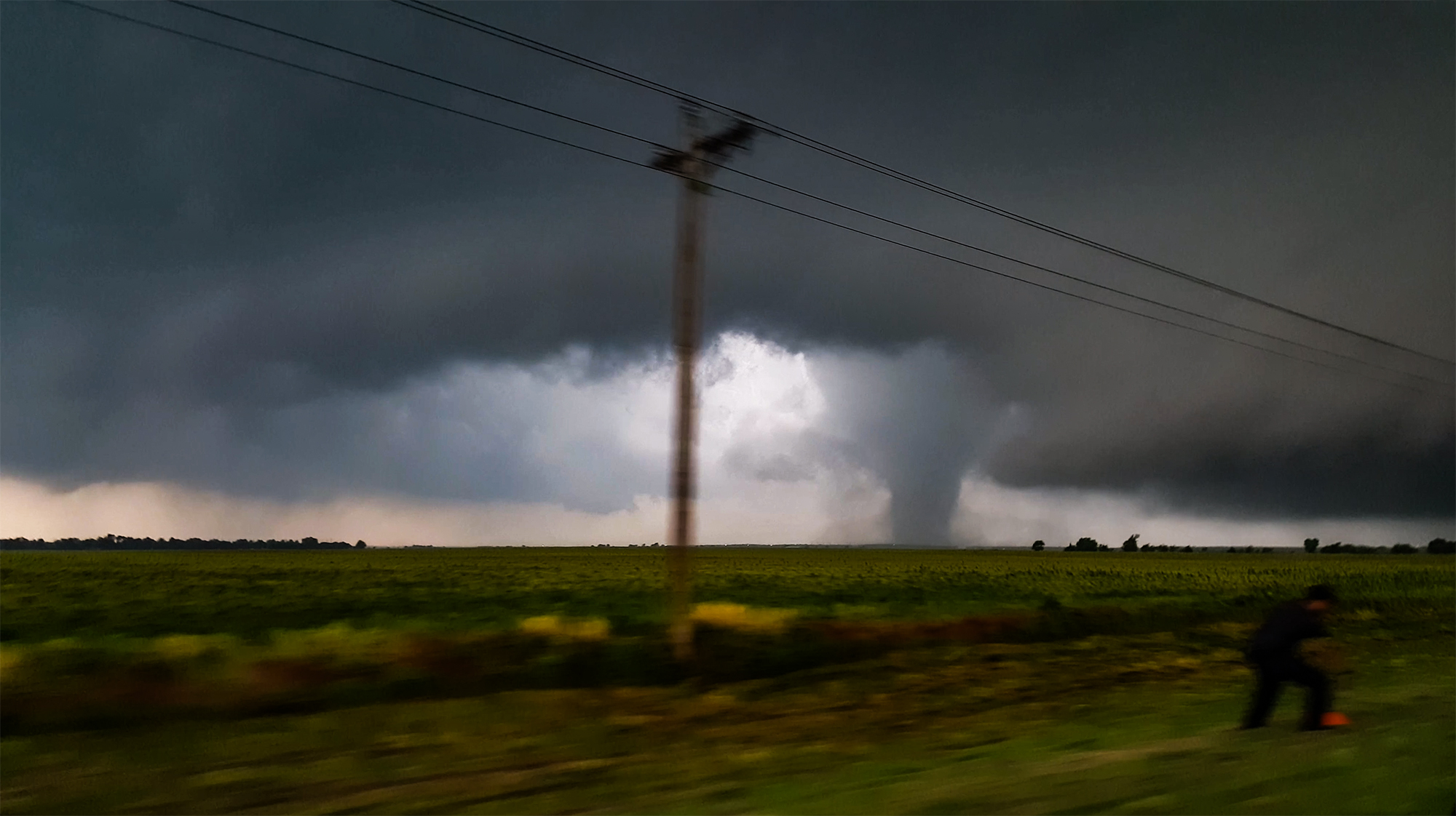
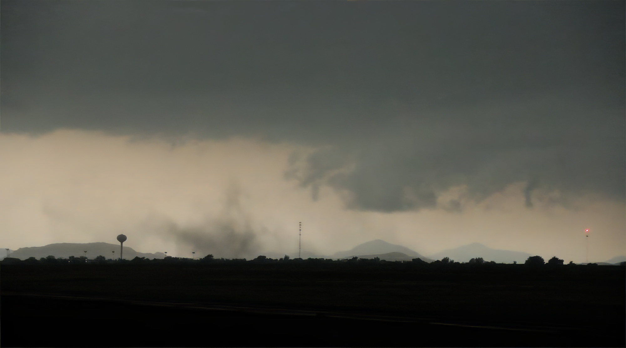
Third and most unnerving, it was right at this moment the forward flank rain curtains opened up to reveal our first view: a monstrous, murky stovepipe on the horizon.
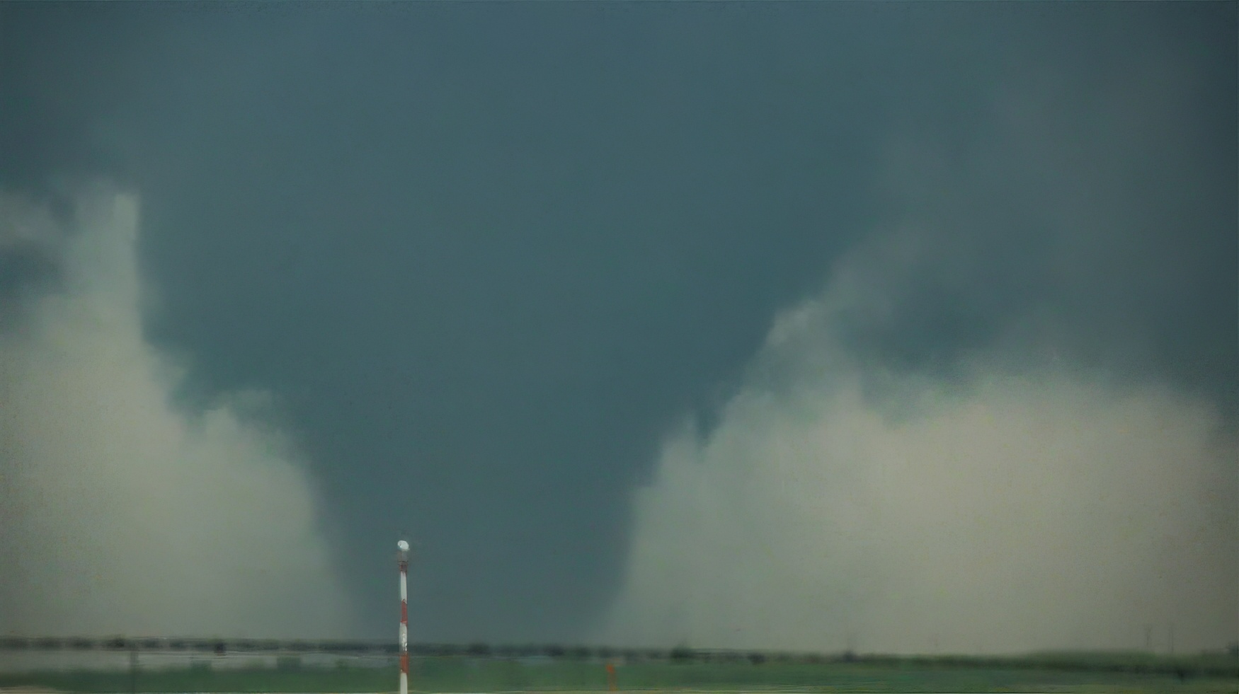
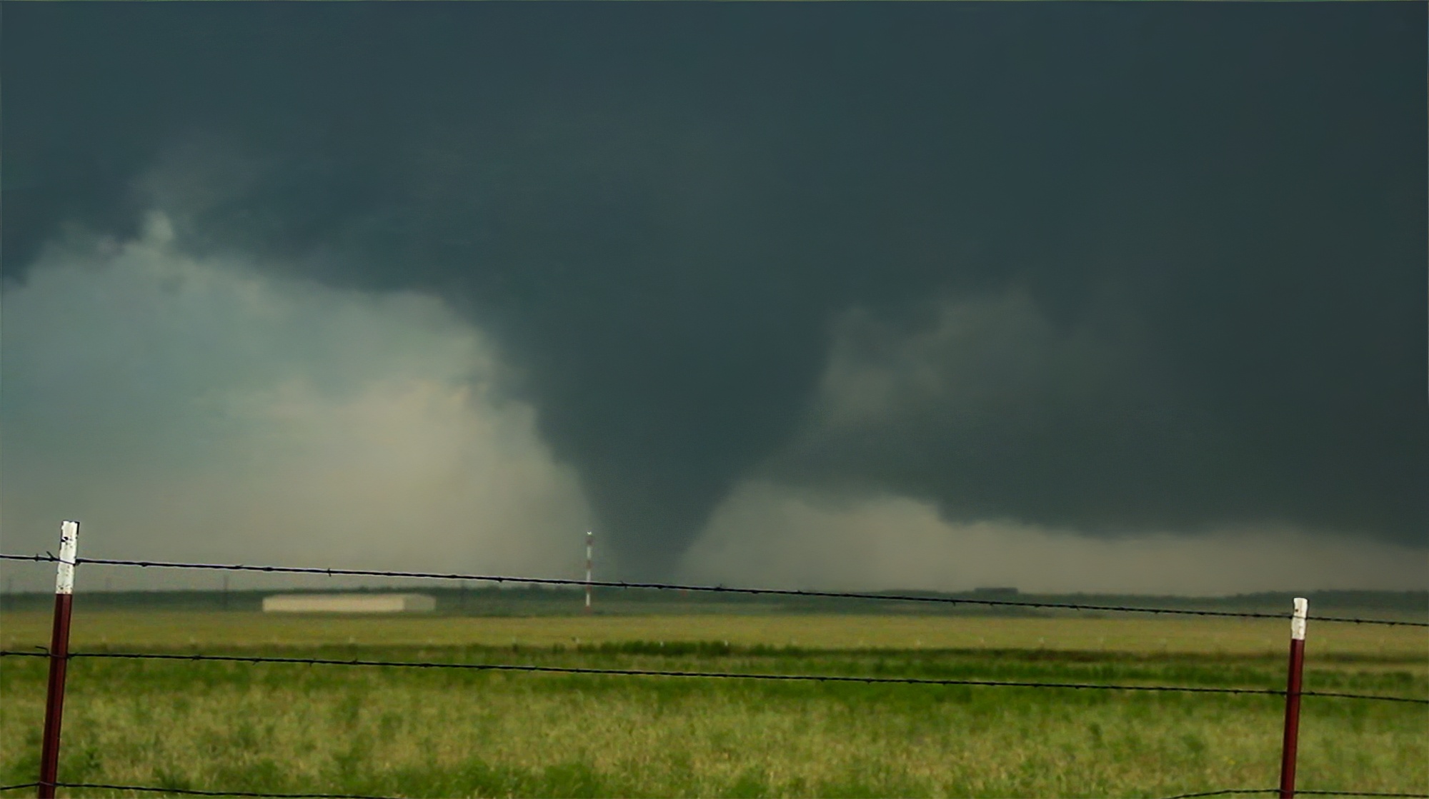
Immediately, we realized we were directly in the tornado's path. A red and white beacon pole at the tiny Mangum airport provided an easy motion reference: the tornado was moving neither left nor right relative to the pole -- it was headed right at as. But we still had a few minutes to watch before executing our escape. Toni wanted to flee immediately, but I delayed, mesmerized by the intense motion around the tornado core. Sheltering in the car due to lightning, my attempts at filming were comically terrible, either blurry or shaky or both.
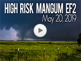
The tornado itself was one of the most amazing sights I've ever seen and probably the strongest (only Rozel would be in competition). As it drew closer and got taller, the tornado morphed from ragged stovepipe to classic, laminar cone. At one point, vorticity noodles danced up the side, something only seen in the most violent tornadoes. As it approached the SW edge of Mangum, the tornado widened suddenly, almost a wedge and definitely its most intense. Finally it was time to go. Toni, who had been in panic attack mode this whole time, finally started to breathe a little easier.
At 5:22 we executed our escape east and then north on Hwy287. Another chase team dropped a turtle probe as we passed, but other than that we only saw a few other vehicles (the hoard was still to the south behind the tornado). As we escaped, the tornado transformed again into a perfectly smooth, vertical cylinder. This was the beginning of its ropeout phase as it tightened and shrunk on the north side of Mangum. Thankfully most of town was spared. My final view was a ghostly rope in the rearview mirror as we sped north.
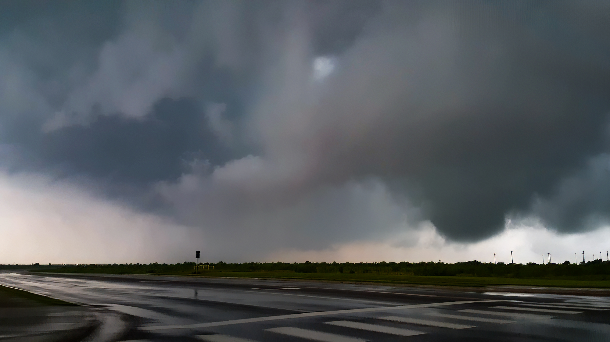
5:30 - 7:30 PM CDT: Given the parameters overhead, I was on high alert for a new cycle as we raced east towards the tiny town of Granite, still keeping pace in the rain free inflow notch. Stopping briefly, I noticed two worrying sights. Down the highway behind us, a line of headlights barreled our way; the hoard had made it through Mangum and was catching up. Second, a new ragged wallcloud began spinning up just to our south. No time to gawk; we had to get further east.
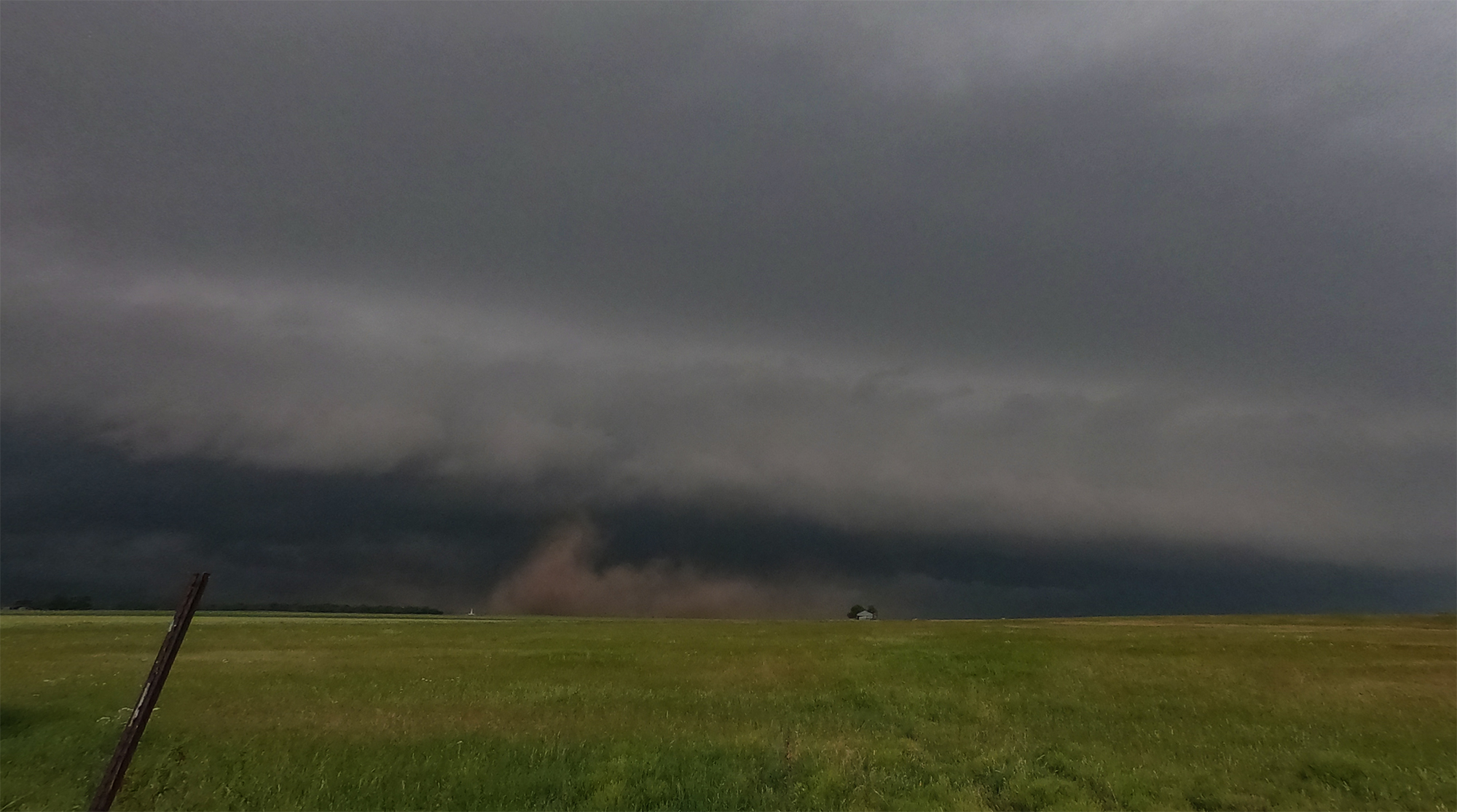
As we passed through Granite, sirens whined to life and Toni filmed behind us as the wallcloud focused into a smooth, truncated cone. Tornado #2 of the day was born, uncondensed at the base and lasting only seconds. Fortunately for Granite, a cell merger from a flanking line updraft was just in time to disrupt the nascent tornadic cycle.
East of Granite we stopped again to assess the situation, now falling well into the crowded line of chasers. The small flanking line cell had quickly become the more dominant storm, but it also looked much more shelfy. Then WHAM, a cold RFD slammed us from the west. The same cold front that undercut our first Wellington supercell had now surged under these storms as well. As we stair-stepped on the grid to keep up, we crossed the RFD/inflow boundary several times, instantly fogging up the windows each time we crossed from cold outflow to hot inflow.
I knew the chase was over, but doggedly kept going (it was a high-risk day after all) until we reached Hobart, OK. Now well behind the cold-looking, undercut storm, we paused north of town to soak in some truly eerie siren ambiance as the unstoppable outflow continued its surge southeast. Later, near Roosevelt, we once again sampled the cold front as it kicked up a large, slowly rotating wall of dust -- a neat sight but total confirmation that the day was cooked.
Post-Chase
7:30 - 10:50 PM CDT: Emotions after a high risk chase can be weird, and today was no exception. A mixture of salty and sweet. We'd had a great view of the Mangum tornado, but I already knew our footage was subpar. Guilt for pushing Toni into panic. Relief that no town had been decimated, but also regret at a wasted, potentially historic, set of ingredients. I dunno, it's weird and hard to balance.
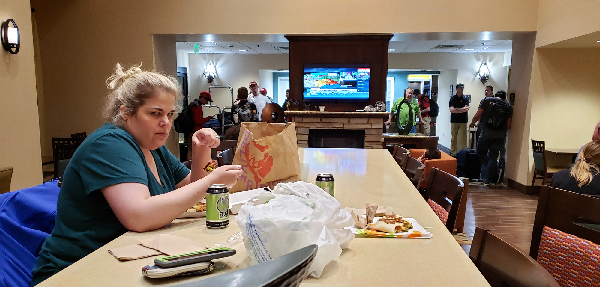
Like any classic hero's journey, we ended the day where it began -- back at the Altus Hampton Inn, returning home, but changed somehow. The reception, however, was hilariously none too heroic. Storms passing through Altus had glitched the electricity and rendered the hotel's keycards inoperable. The clerk needed to check each person into their room manually. As Toni consumed her humble Taco Bell and F5 IPAs in the lobby, I basked in the knowledge that we have the oddest but best hobby ever.
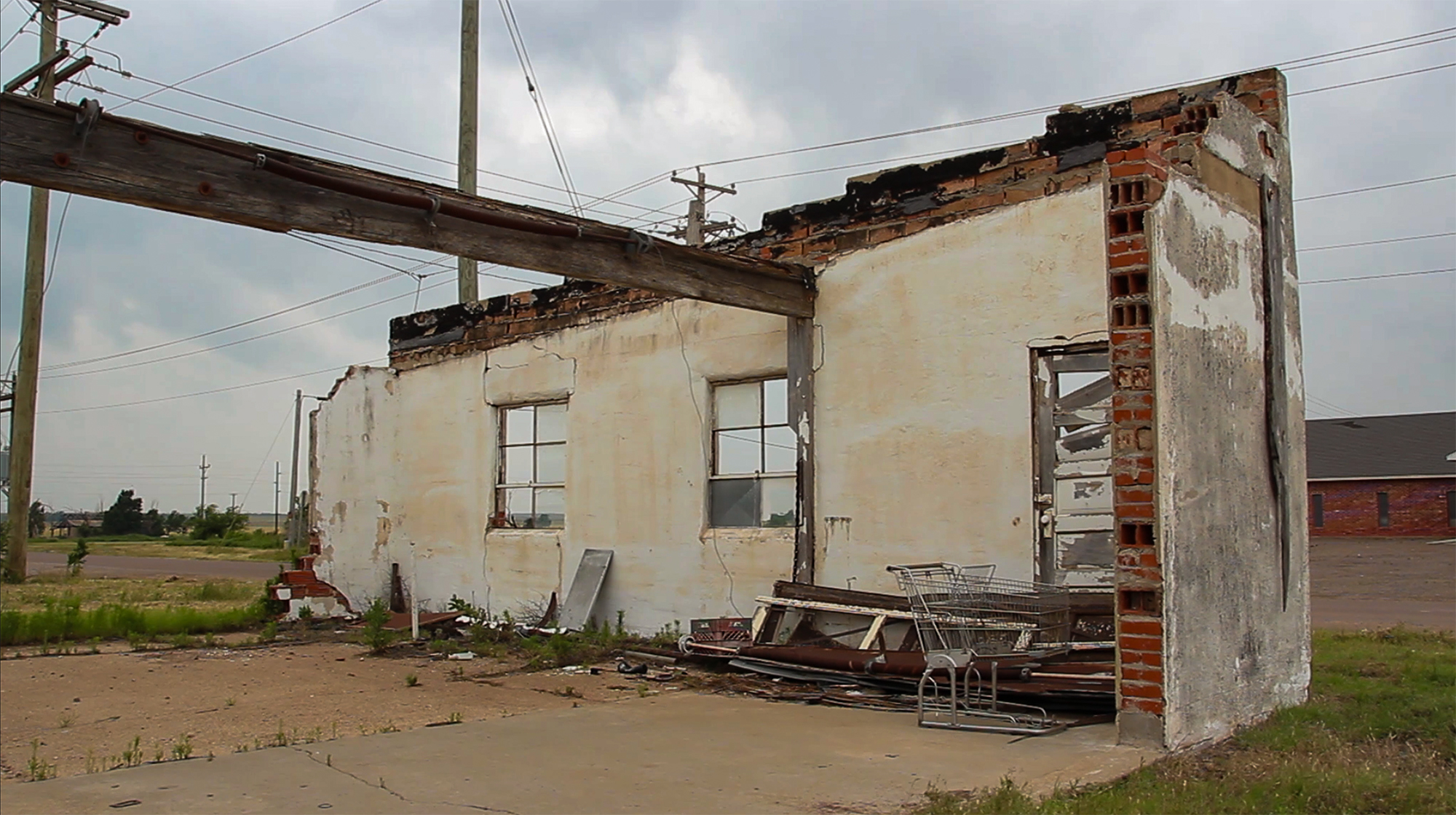
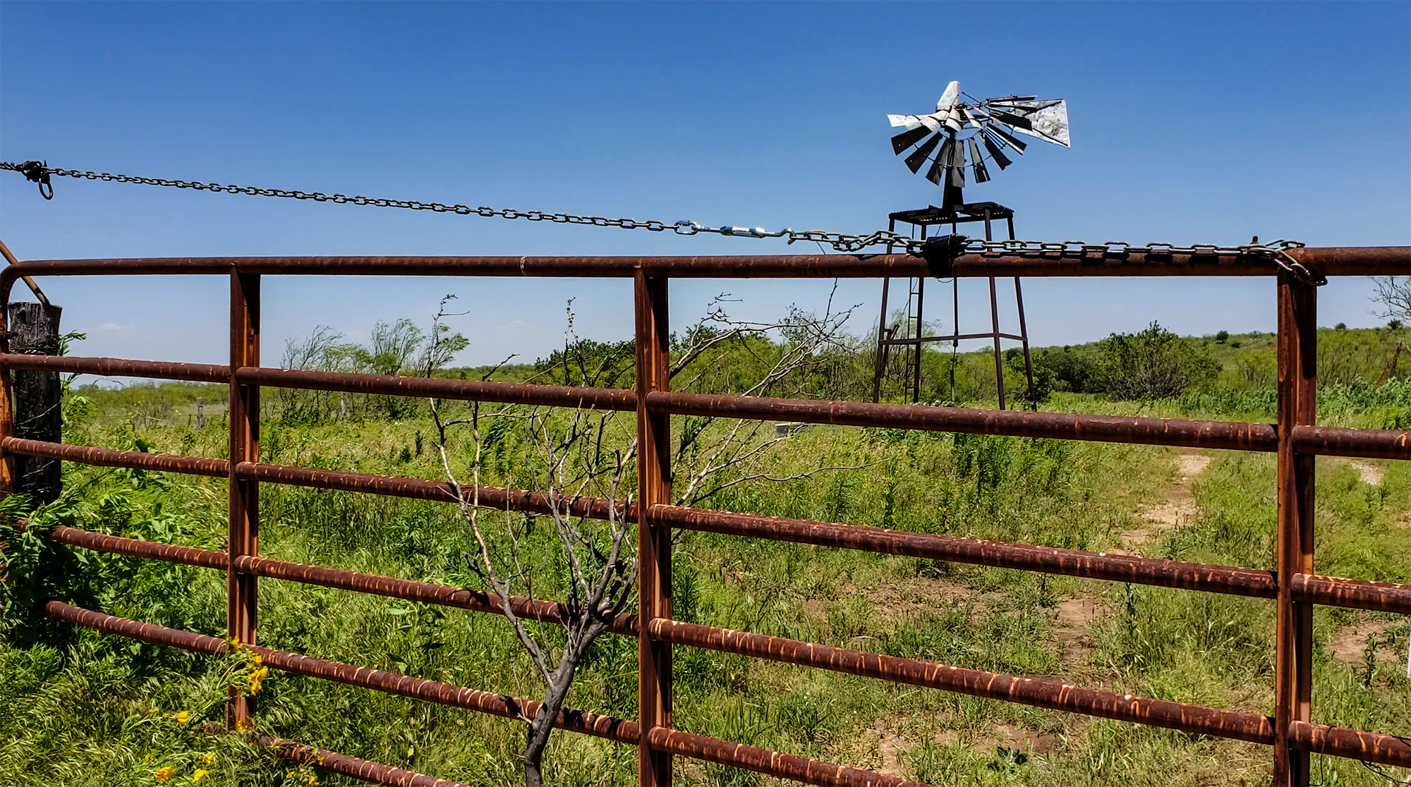
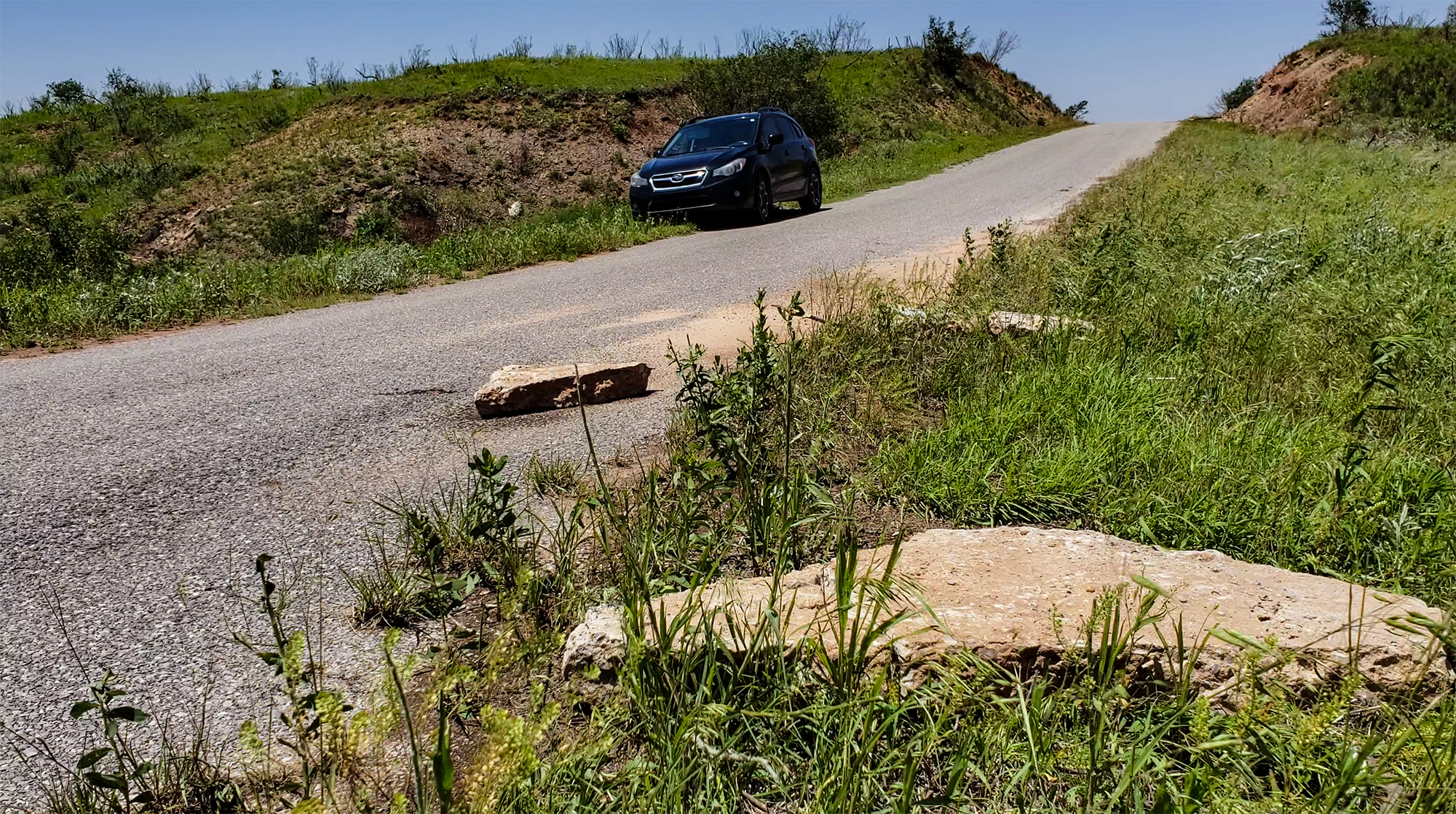
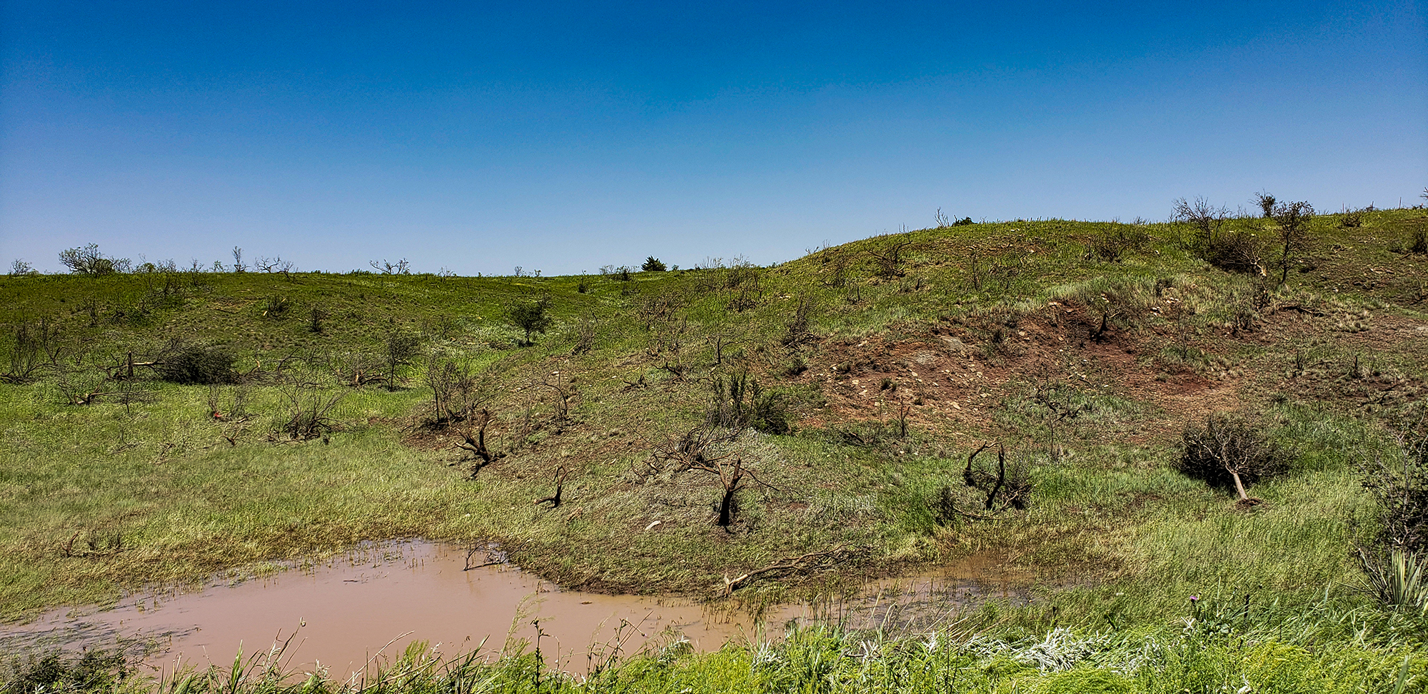
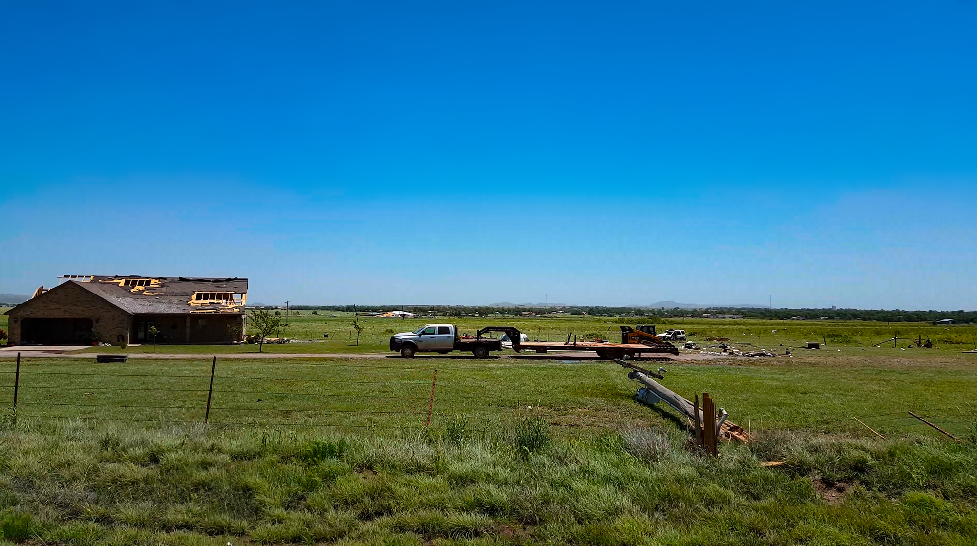
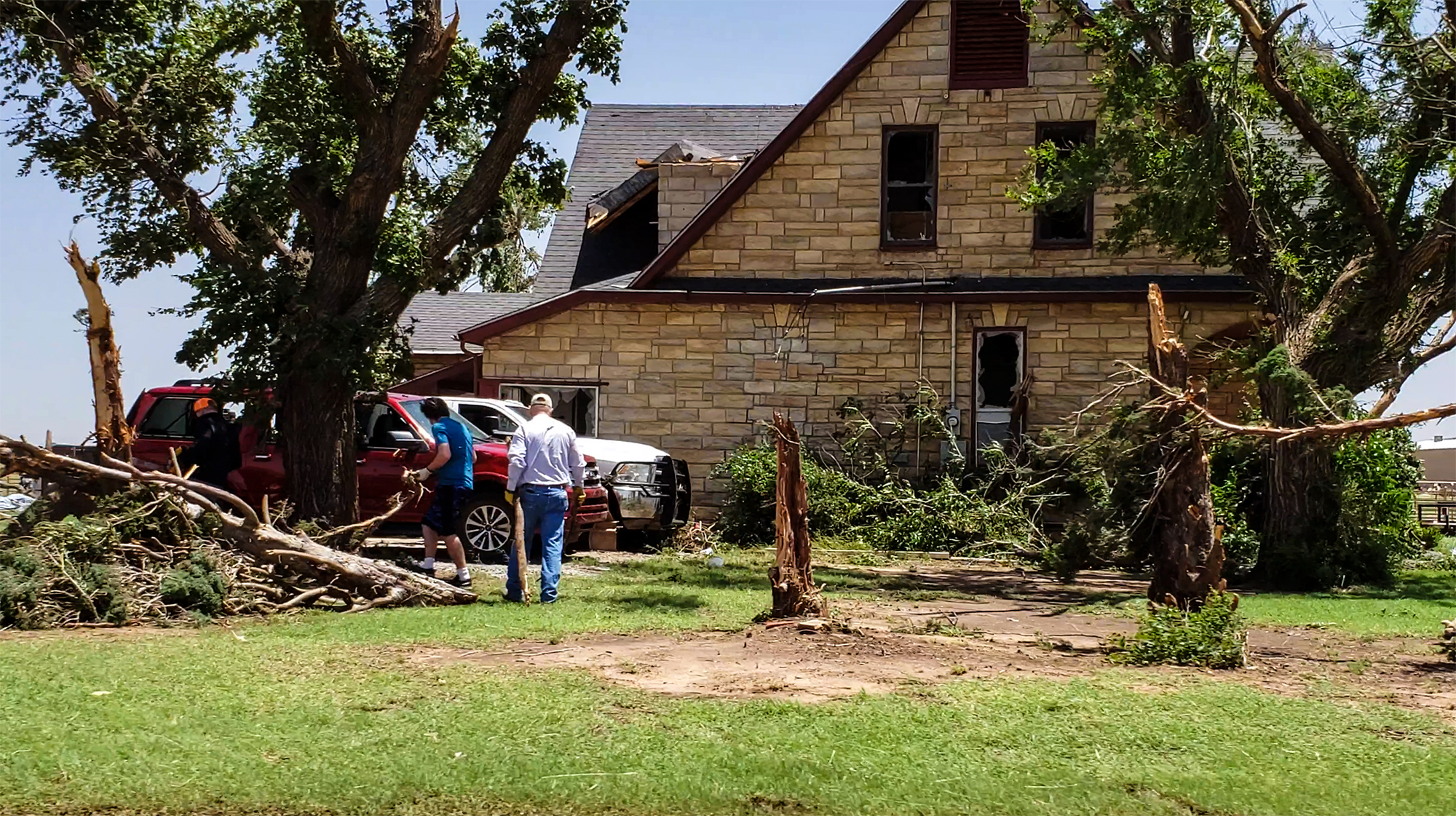
May 21, 11:25 AM - 1:15 PM CDT: The next morning, we spent some time surveying the damage path southwest of Mangum. The scrub brush and grassland of SW Oklahoma doesn't easily betray a tornado's true strength, but we did find some subtle, mind-blowing damage indicators. A couple miles outside town at a nondescript creek crossing, we found large chunks of bridge concrete that had been peeled up and scattered around -- divots scoured into the asphalt an inconspicuous clue at the tornado's true intensity.
Recap, Filmmaking Notes, and Lessons Learned
- I count 39 tornado reports on the SCP archive, a big day but still underperforming the apocalyptic forcasts and HRRR runs. Was it the wildfire smoke from Mexico? Why didn't the open warm sector fire? Why didn't models catch on to the surging cold front??
- The Mangum tornado was officially rated EF2, with a maximum width of 1200 yards and an 11 mile path. I have no doubt it would have been rated higher had it passed though town at maximum strength. Thankfully it didn't.
- We need a good way to get reliable footage inside the car during rain and hail. Especially when panic is spiking.
- Our decision to escape relatively early on the Mangum tornado was driven by uncertainty on how long it would take top traverse town and how bad the chaser traffic would be.