Date: June 6, 2020
Time: 8:30 AM - 12:30 PM MDT
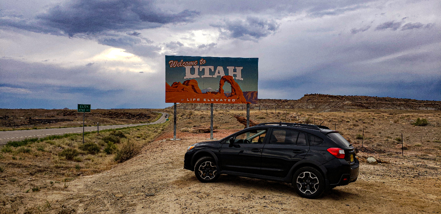
Place: Blanding, Monticello, Utah
Distance: 595 mi (319 positioning, 65 chasing, 304 to home)
Camera: T3i, 5D Mk IV, Note9, iPhone8
Warnings: SVR
Rating: S3
Pre-Chase
The world has changed a lot since the last storm log. I'm sure this is the last place you need a primer on the COVID-19 global pandemic - we've all lived through it.
When everything shut down in March 2020, Toni and I quickly ruled out regular storm chases. Hotels, restaurants, even gas station stops seemed unnecessarily risky. While storm chasing itself is still pretty safe and solitary, much of the pre and post-chase fun was replaced by infection fears. That said, a solo car-camping trip was not totally out of the question...
Perhaps it was for the best that 2020 has been one of the sleepiest chase seasons ever - featuring only a few mildly-tempting days (May 21st structure-fest in SW KS, May 22nd Burkburnett spinups, and May 23rd Colorado "boot bust"). But this evening it's finally happening: I'm actually chasing during a global pandemic. And for the first time ever, I'm driving WEST from ABQ.
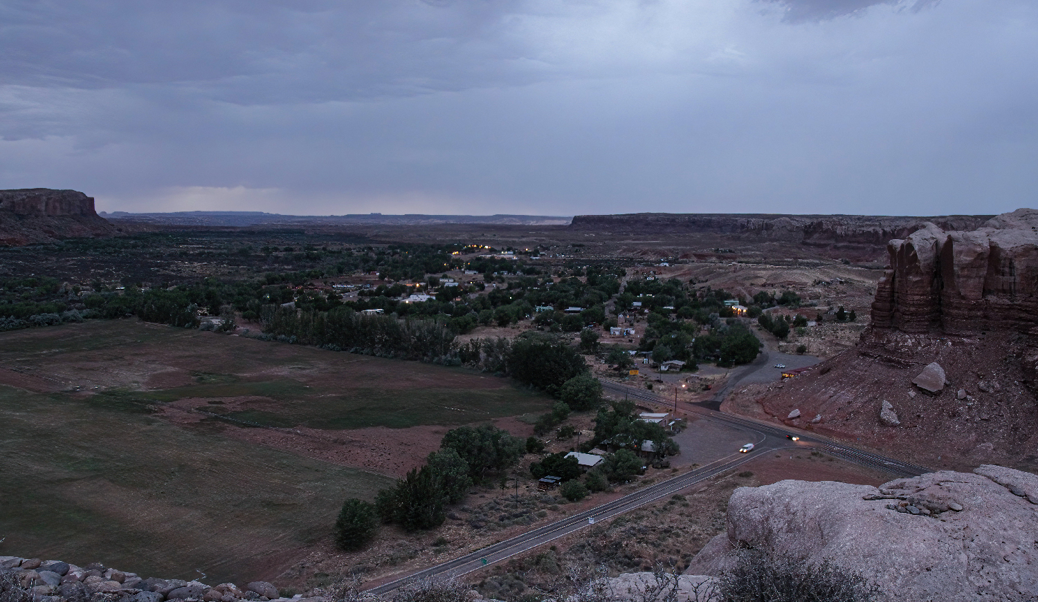
June 5: 3:15 - 8:00 PM MDT: The target for this chase is SE Utah, where I'm hoping for late morning supercells tomorrow as a mid-level trough swings through with strong forcing, 1000 J/kg CAPE, long hodographs, and maybe just enough low level turning to eke out a desert tornado. Since storms may start as early as 9AM, I'm planning to spend the night in the Crosstrek on the cliffs above Bluff, UT - a cool spot I scouted on Google maps. This will be my first ever car camp - providing zero contact the whole trip.
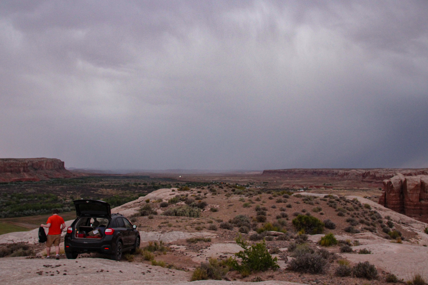
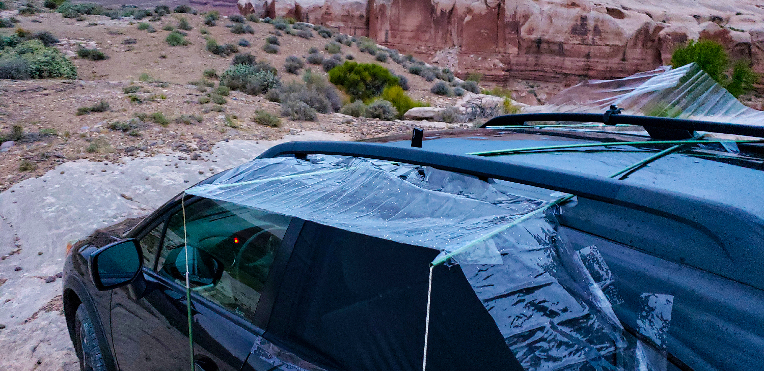
June 5: 8:00 PM - 1:00 AM MDT: The drive to Bluff was uneventful and I arrived at my camping spot on the overlooking cliffs just as gloomy twilight descended. Prepping the Crosstrek for camping mode (pads and sleeping bag, window mosquito nets, janky rain guards) only took a few minutes - a chill gopher snake my only company. And then the realization kicked in - I have a LONG night ahead with literally nothing to do. A smarter version of me would have savored the intense desolation, but I was feeling a little nervous about the whole thing and instead tried to kill time with phone calls and Discord chatting. It wasn't bad, but in hindsight I should've soaked in the quiet wilderness more.
June 6: 1:00 AM - 6:45 AM MDT: Welcome to the worst night sleep of my life. On paper it all sounds so pleasant. A cool breeze rippled through the mosquito nets and kept the car from growing stuffy. Gentle rain showers pattered on the roof. Occasional thunder gently rumbled over the cliffs. How could I NOT fall asleep?? Well in actuality, every gust of wind startled me awake thinking the Crosstrek was rolling towards the nearby cliffs. The rain had me worried about getting stuck in mud during tomorrow's egress. And every flash of lightning I was sure someone had snuck up on the car with a flashlight. I got about 30 minutes of real sleep.
The Chase
6:45 AM - 9:30 AM MDT: Never have I been happier to see the sunrise - my sleepless night was over and storm chances were looking up. After getting a few morning timelapses (seriously I couldn't have picked a more beautiful camping spot), I packed up the car and drove into Bluff to gas up. At that same time, the SPC issued MCD 849 stating:
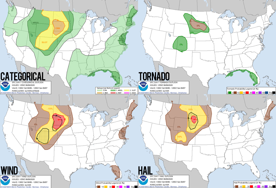
...Intense deep-layer south/southwesterly flow is already in place across the region, and effective shear greater than 50 kt will spread northeast across the central Rockies vicinity. Organized, semi-discrete supercells are possible initially ... and perhaps a tornado can not be ruled out given long hodographs and supercell wind profiles.
Adding to my excitement, SE Utah was also under a nice bullseye of 3-CAPE and Surface Vorticity - often called by chasers the "cheat code" for locating potential tornado development.
I drove north on Hwy 191 to get out into the wilderness downstream of storm development. Passing White Mesa by 8:45, wispy anvils were already on the SW horizon - such a strange feeling seeing storms this early. Cutting west on SR95, I found a few neat locations in various washes and valleys to timelapse the growing thundershowers - splotches and light and shadows dancing across the rugged ground as clouds raced north under an 80 kt jet streak.
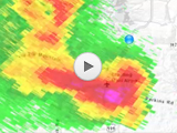
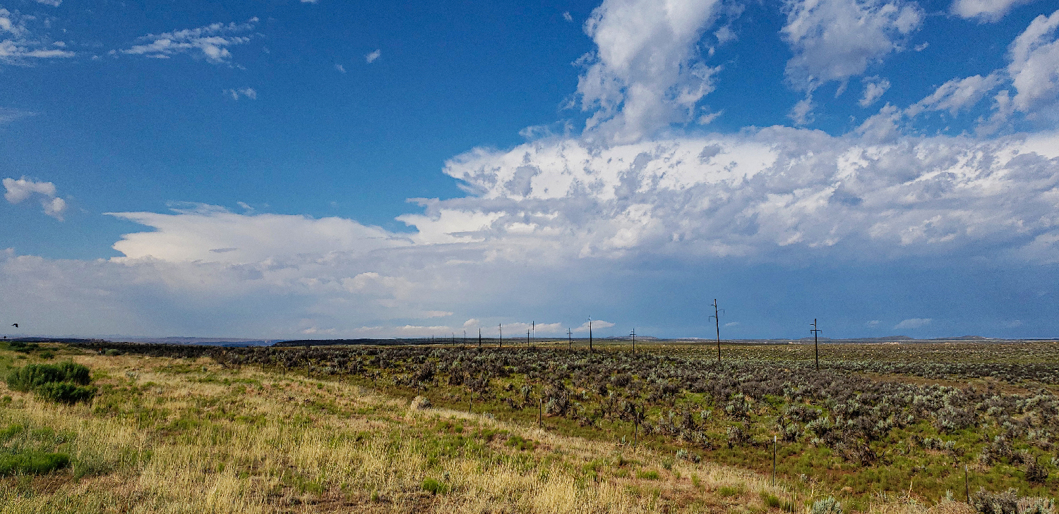
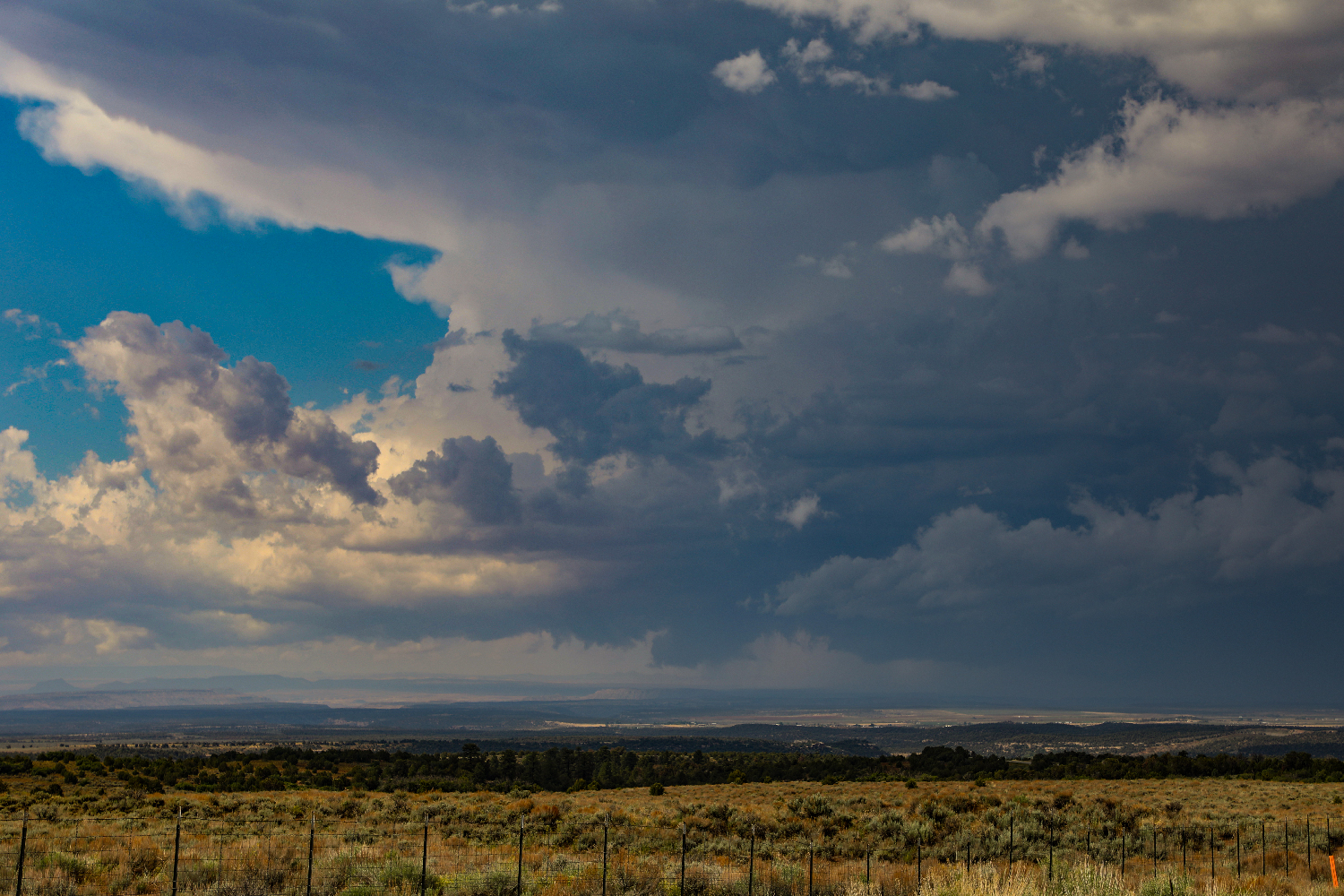
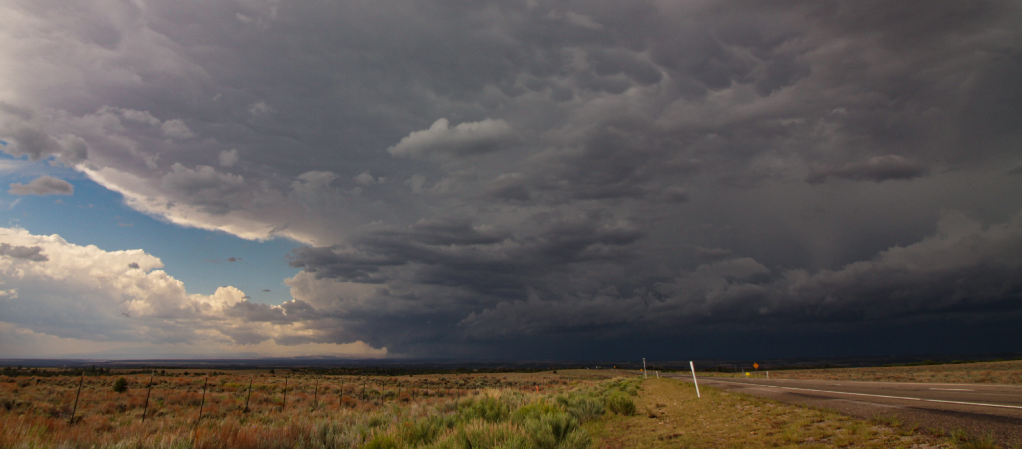
9:30 - 10:35 AM MDT: Thunderstorms were organizing rapidly now as the lift axis swung in. A storm well to my west went SVR warned in the highway no-mans-land north of Mexican Hat. But I had my eye on a strengthening storm back to the south near Bluff. And sure enough it too went SVR at 9:39 with explosive development. Due to the fast storm motions (~50 MPH), I headed further north on 191, and by 9:50 between Blanding and Monticello, I pulled over to a sweeping southerly view at the onrushing storm - now clearly displaying supercell structure.
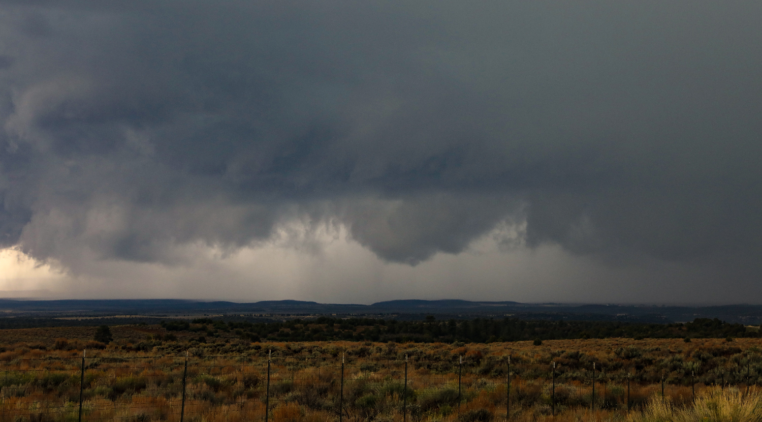
The terrain gradually rises from Bluff to Blanding - sloping up towards Apajo Peak SW of Monticello. This meant I had an amazing view south overlooking everything - including the cliffs where I camped overnight. This provided a stunning vista to watch the scuddy base, bulky tower, and anvil of my approaching supercell. This was also my first chance to timelapse with the new Canon 5DMk4, and the storm put on a beautiful display with deep blue hues over yellow/green desert. The updraft base featured many tendrils of rising scud and an pretty concentrated area of tight low-level rotation. However, by about 10:05 it was clear that the initial supercell structure would be very short lived and outflow was beginning to surge.
I scooted north to Monticello and set up once more just east of town. By now the storm was totally outflow-dominant with a cold but menacing shelf cloud flaring out a mean turquoise core. I let this core skirt just to my west with sporadic ping-pong hail bouncing in the field beside me. Then it was time to retarget - Hwy 191 was no longer a good chase vector as it bent west away from the NNE moving storms. Instead, I headed SE on 491 hoping to catch the next storm down the "string of pearls" arcing line.
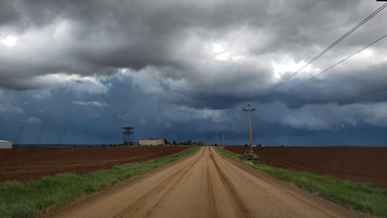
10:35 AM - 12:25 PM MDT: Unfortunately, storms raced NNE faster than I could reposition - even at highway speeds. Crossing over into Colorado, I flew in just behind the next storm in the line, and then tried again for the 3rd cell just as it was heading into the depths of the Rocky Mountains. There was a tantalizing base on this 3rd cell, but I never really got a great look before driving into the Delores Canyon overlook - officially the end of the chase.
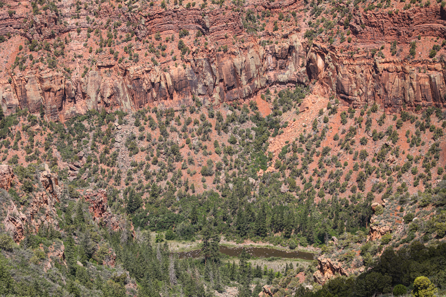
I spent the next hour playing with the 5D and filming the departing CU towers as they congealed and raced away on the other side of Delores Canyon - which provided an outstanding final vista. The rushing wind and crisp air created the perfect post-chase atmosphere. I hadn't seen anyone else the entire chase (really the entire trip) and it was easy to forget we were in the early phases of a global pandemic. For those short hours that morning, there were only storms and wilderness.
Recap, Filmmaking Notes, and Lessons Learned
- My morning storms continued to streak NNE and eventually congealed into a rather unusual Rocky Mountain / Northern Plains derecho - the height of which raged through South Dakota with many chasers catching some of the neatest shelf photos I've ever seen.
- If I ever car camp again, an air mattress is absolutely required. No amount of padding can completely smooth out the contours of the lain-down back seats - I could feel every ridge and bump. Or maybe I'm just a princess.
- The 5DMk4 is significantly heavier than the T3i, and this makes it way more prone to wind vibration. I need to consider a more sturdy shotgun tripod head.

