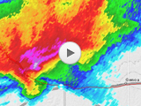
Date: June 4, 2014
Time: 7:00 - 10:45 PM MDT
Place: Yuma, Cope, Limon, Colorado
Distance: 547 mi (253 positioning, 224 chasing, 70 to hotel)
Camera: GoPro3 Silver & T3i
Warnings: SVR, TOR
Rating: S5
Forecast and Set Up
Ahh the ol' wedding anniversary storm chase - the staple of any strong marriage.
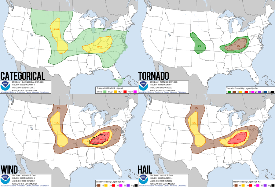
Yesterdays white-knuckled chase in central Nebraska left us pretty worn out today. This was the 5th day of our continually extending chase vacation, and at first we actually considered driving back to Albuquerque. But who wants to waste their whole anniversary driving home?? So instead, we glamorously spent the early afternoon washing clothes in a Grand Island laundromat before heading west for a slight chance of upslope severe storms in the Nebraska panhandle. I still have difficulties parsing upslope setups, but general conditions seemed at least marginally favorable (SE surface winds with mid-50s dewpoints, 35-40kt upper level winds from the west, and 1500 J/Kg CAPE).
Having just added Nebraska to her list of states visited, Toni was hoping to continue this trend and head all the way west to collect Wyoming. With this plan in mind, we visited the Lake McConaughy damn north of Ogallala - waiting for storms to fire off the Wyoming front range. But as is usually the case, the weather had its own plans, and storms began firing further south than expected in Colorado - despite better CAPE and upper-level flow further north.
Even though it was very late in the afternoon and we were at least 100 miles out of position to the northeast of the developing storms, we decided to totally alter our original plans and head south to Colorado. Anniversary chase on!
The Chase
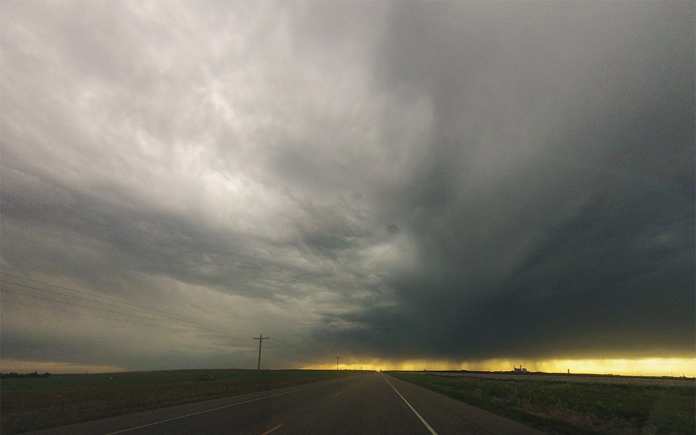
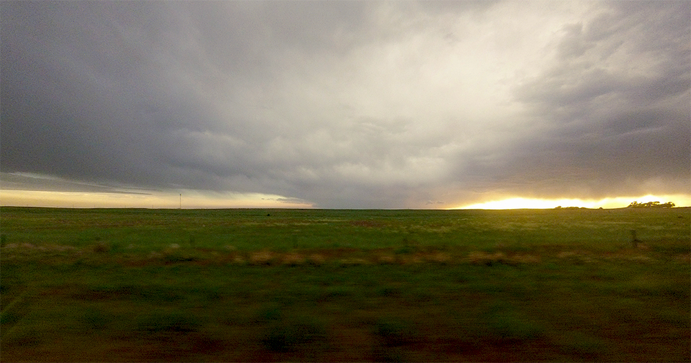
To start out, we dropped south on the very desolate Hwy 385 in western Colorado hoping to get in front of the storms rumbling east near Akron. During this portion of the drive, we had a very interesting perspective on the developing storms. Because of our distance and the areas vast visibility, we could see the entire updraft and downstream anvil on several cells. Seeing this fully comprehensive structure was reminiscent of a satellites vantage, but from underneath.
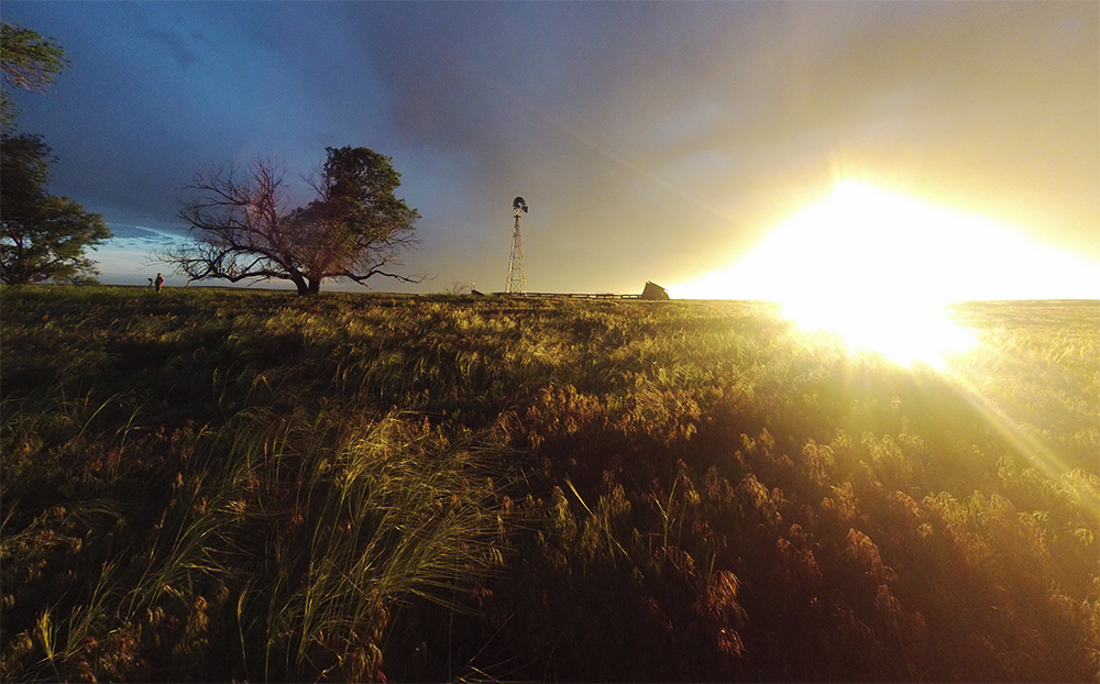
After gassing up in Wray, we headed west directly towards a storm near Akron. Unfortunately, by the time we were only halfway there, the cell was obviously fizzling out and not worth pursuing. With only a few minutes left before sunset and no other storms close by, we drove south of Yuma and found a beautiful abandoned farmstead where we watched the sun dip below the horizon. The light filtering underneath the base of the dying storm cast an amazing orange glow on the old wooden structures and the tall prairie grass. It was honestly one of the nicest sunsets Ive ever experienced.
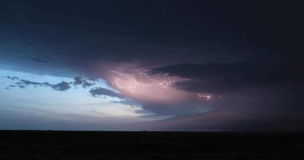
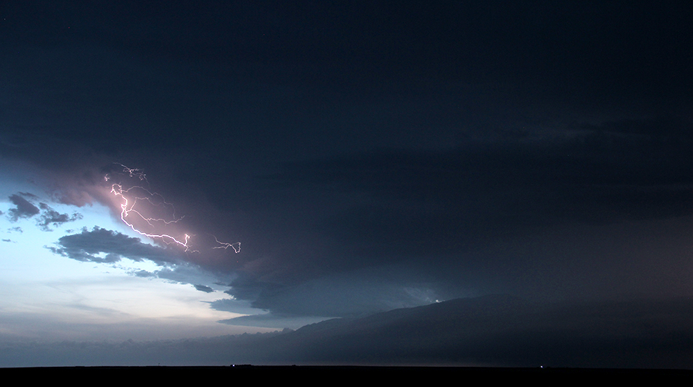
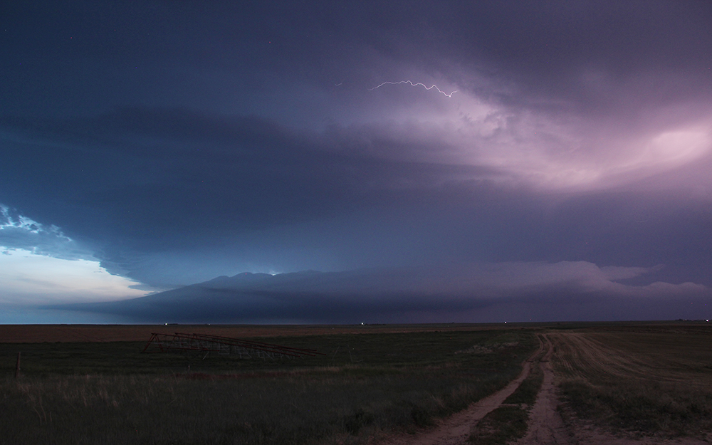
About ten minutes later as we were leaving the abandoned farm, a storm 60 miles to our WSW (in the no-mans-land east of Deer Trail) got the first tornado warning of the day. Even from our distant vantage, we could see beautiful supercell structure and fat inflow tails. With about an hour of twilight left, we decided to move a little closer and get lightning shots.
Just as the last light was fading from the sky, we pulled off the road a few miles south of Cope - now about 15 miles directly downstream from the tornado-warned cell. There was barely enough background sky light to add great contrast for long exposure shots really highlighting the beautiful structure. After 10 minutes of shooting lightning pics, a fat shelf cloud developed on the front edge of the storm, signaling that it was gusting out and dying. Not wanting to be broadsided by a rogue gust front in the dark, we dropped further south to I-70 - clearing the doomed cells path and calling an end to our short chase day. Or so we thought.
By this point in the evening, we were only interested in getting a nice, late dinner and finding a hotel. So we headed west on I-70 towards Denver and civilization. But for the second time today, the weather decided it had other plans. Another supercell was rapidly consolidating near Deer Trail and lumbering slowly down the interstate with an incredibly intense 70+dBZ hail core centered directly in our path. Little did we know what excitement and terror would soon follow...
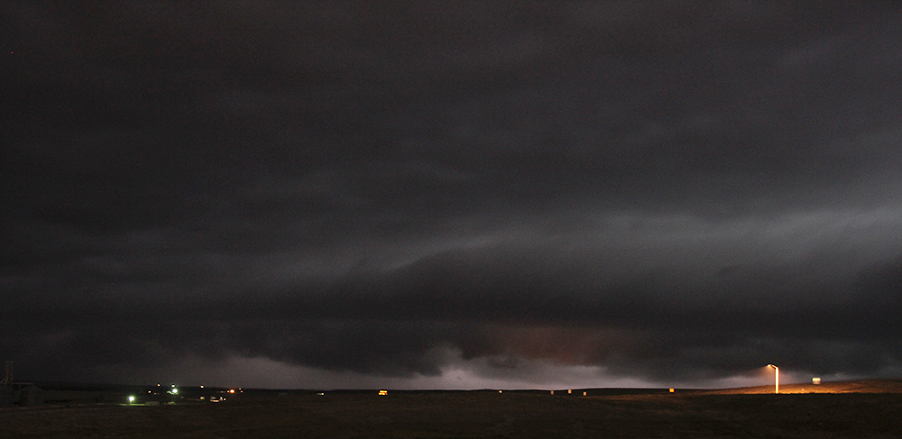
We arrived on the west side of Limon while the leading edge of the supercell was still about 12 miles away. Sitting at my favorite spot (the dead end on 6th St. behind the McDonalds, which we discovered on June 15, 2013), we had an amazing view to the northwest into the maw of the supercell. While the supercell had a fairly typical orientation (updraft on the southwest side, forward flank to the northeast), its motion was extremely deviant compared to other storms in the area (it was moving southeast). This meant two things: 1) it was taking advantage of more shear than might be expected and 2) from our vantage point we were looking directly into the inflow notch that was headed straight towards us.
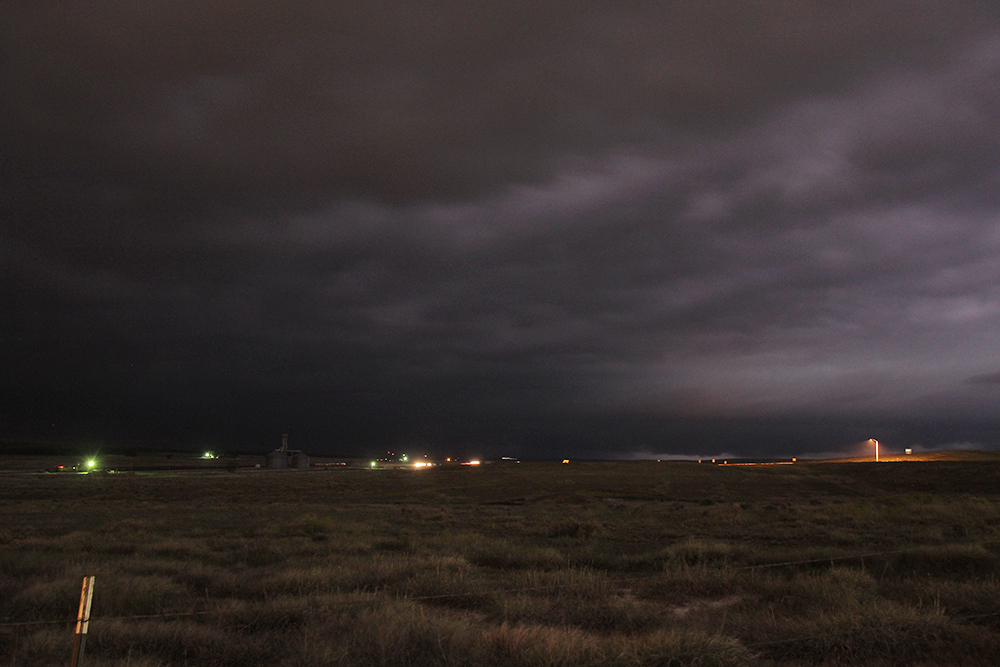
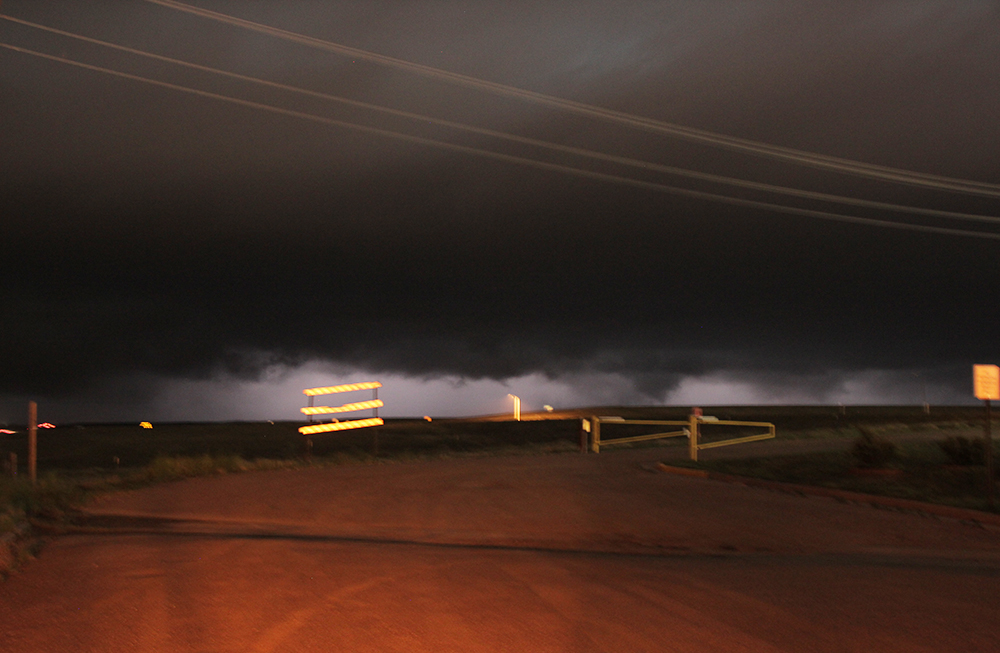
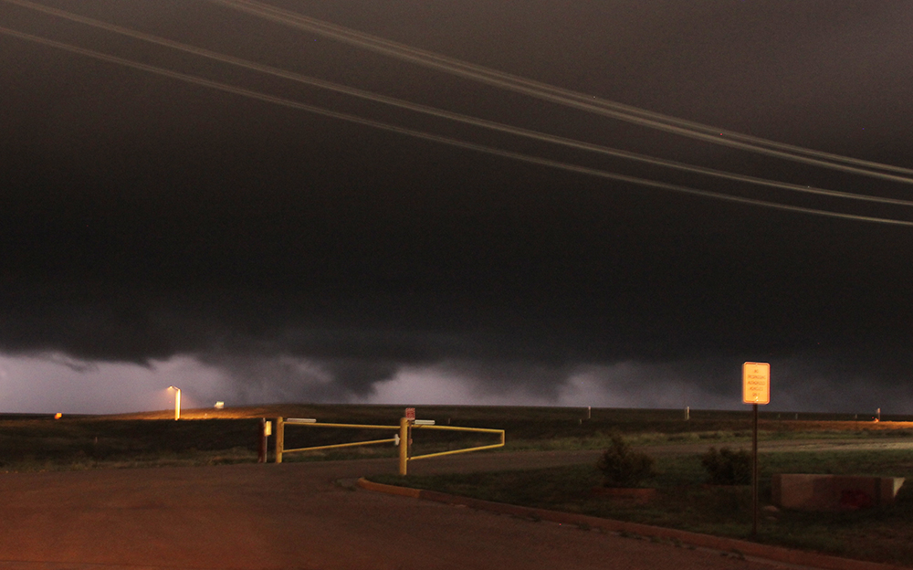
The storm was only severe warned as it neared Limon, but inflow winds were screaming directly into the updraft at nearly 60 mph, and at one point I heard the distinct sound of sheet metal being pulled off a nearby building by a particularly intense gust. Sheet lightning was stroboscopic constantly lighting up the underside of the storms base. As the supercell made its final approach into Limon, a tornado warning was issued. I had been standing about 20 feet behind the Crosstrek snapping long-exposure photos, and started folding up the tripod - figuring it was about time for our escape. As I jogged back to the car, a suspicious lowering caught my attention in one of the lightning flashes. It took several panicked seconds to unfold the tripod and snap a few more pictures (each exposure about 3 seconds). And with each shot, my heart dropped. It was impossible to really tell what was going on by eye the flashes were too close and bright to get a good focus on the structure. But after each photo, the T3i LCD preview screen told a scary story. It appeared that a large, multiple-vortex tornado was churning in the field just north of town! Each photo showed continually-evolving suction vortices that appeared to be in contact with the ground.
I spent about 30 seconds taking these final photos before throwing everything into the car and escaping. Distance was impossible to gauge in the dark, but I guessed the tornado was probably very close, and about to enter Limon. We felt sick as we bailed south on Hwy 71 sure Limon was about to get nailed. After only a few miles, we were safely clear of the tornado/RFD and pulled off the road to watch the rear flank skirt just north and east of our position. By this time, rain had wrapped around obscuring our view of the potential tornado and of the Limon town lights deepening our fear that a tornado was tearing through the city and knocking out power (though we never saw any power flashes).
Ten minutes later, we crept back north into town to see what damage had been wrought. I was fully expecting to encounter significant destruction and thought we might be needed to help search and rescue operations. Never in my life have I been so relieved to see an intact McDonalds sign. Apparently, the possible tornado we observed had skimmed just north of town! Relief quickly turned to weariness, as it was getting very late. After an interesting dinner at the Limon Dennys (very romantic and anniversary-appropriate), we took Hwy 86 across to Castle Rock where we finally found a hotel for the night (Limon was completely booked up for some reason). This was definitely one of the more interesting anniversaries we've ever had!
Recap, Filmmaking Notes, and Lessons Learned
- Ultimately, the Boulder NWS office didn't conduct an official damage survey, but together with the Lincoln county Emergency Manager determined that the damage southeast of Limon down to Hugo could be attributed to straight-line winds (measured gusts near 100 mph). Given the almost complete dearth of damage indicators (not even any trees) immediately north and east of Limon, who knows what a damage survey would have shown anyway?
- Nighttime tornadoes can be incredibly difficult to spot and accurately identify, so I will always have some nagging doubt about what we actually saw. But with our photos, combined with a second independent report of the multi-vortex tornado about 15 minutes after our observations, I feel about 75% confident in counting this as a true tornado.
- I still don't desire post-sunset storm chases, but after so many "forced" nighttime encounters over the years, I am starting to rethink how we handle these situations. I don't have any definite answers yet, but I do notice that we can easily fall out of the "chase mode" mindset after dark, and this could (and has) lead to some poor decisions. In this case, though, I think we handled everything correctly and safely.
