Date: June 14, 2016
Time: 5:30 - 9:00 PM CDT
Place: Paducah, TX
Distance: 949 mi (408 positioning, 92 chasing, 449 to home)
Camera: T3i, GoPro3 Black, Sony RX100ii
Warnings: SVR
Rating: S4
The Chase
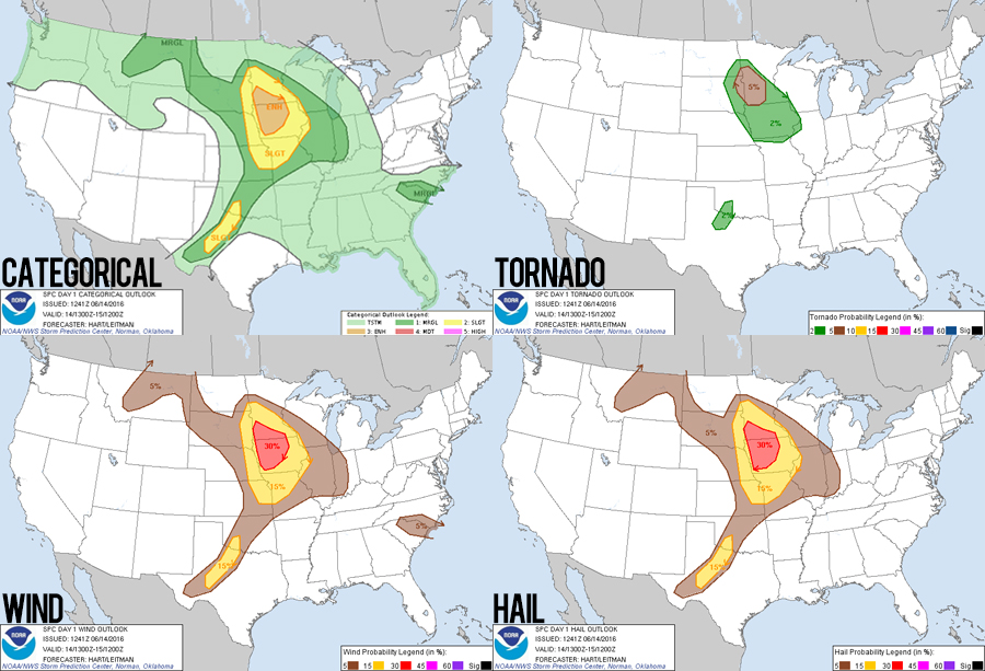
10:00 AM CDT: After two unique, beautiful high plains chases in Montana and Wyoming, we're going to cap off this trip with a more normal chase in familiar Texas Red River country. This seems like quite a gamble, however, because the SPC is downplaying the risk there; instead the obvious severe storm target today is Iowa/Minnesota. Nevertheless, a broad spectrum of the CAMs (convection-allowing models) is consistently showing a couple slow-moving supercells near Childress, TX this afternoon. Here's hoping we get more than a sunburn today.
3:53 PM CDT: Other than a quick gas-up in Liberal, we drove non-stop from Colby, KS to Childress, TX. I still have nightmare flashbacks of May 16, 2015 where we delayed too long in driving south from Goodland and missed the Elmer tornado. But no such bad luck today. We're getting a late lunch here at the Childress Arby's awaiting initiation.
4:05 PM CDT: A pleasant surprise as we eat our sandwiches and browse models: MCD #918 was just issued for this area. Temperatures in the 90's over dew points in the 70's mean storm bases will be high, but you never know exactly what can happen with 4000 J/kg CAPE and a little upper level venting.
4:49 PM CDT: Still no initiation, but towering cumulus is evident in two locations; SW of Paducah on the dryline and east along a subtle convergence boundary near Quanah. We hedged our bets and drove to near Wheatland along Hwy 287. We're sitting in the heat along the highway watching cumulus bubble.
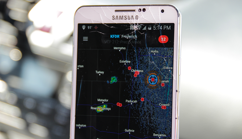
5:14 PM CDT: After watching blips on radar for a few minutes, it looks like we have sustained initiation! It's the dryline that fired rather than the convergence zone. About to drop south towards Paducah.
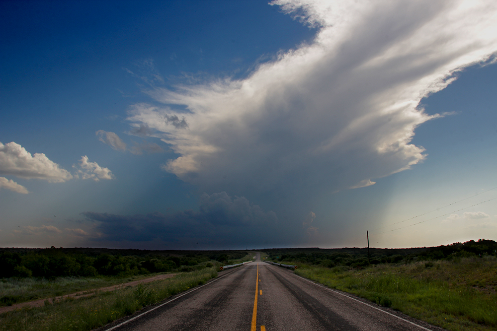
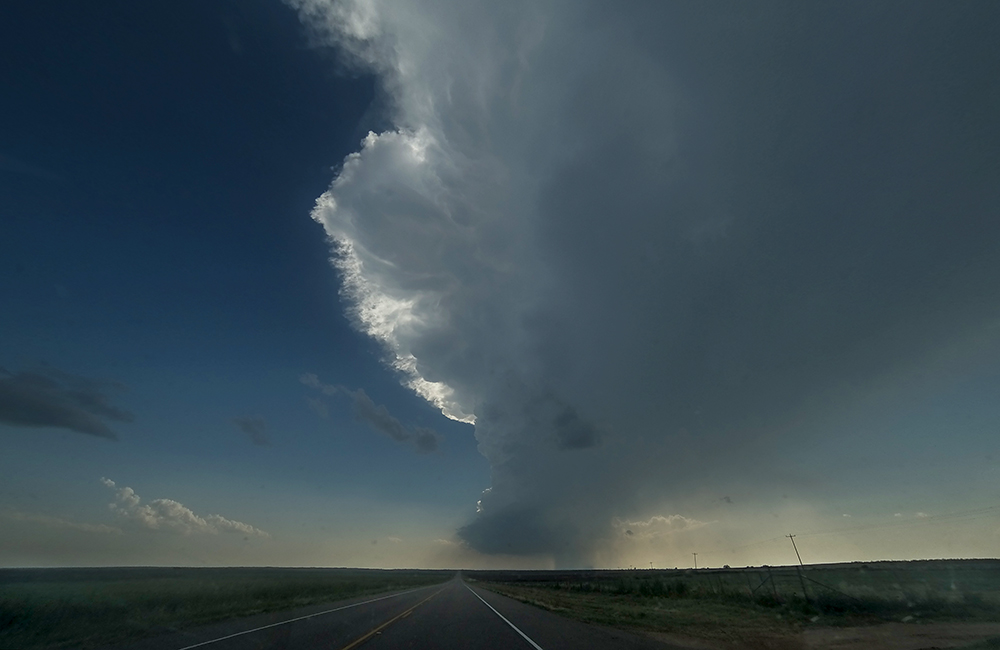
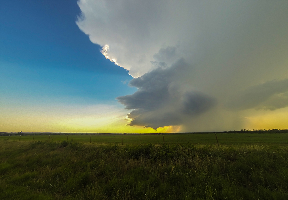
5:43 PM CDT: We just entered the anvil shadow as we cut southwest to Paducah on the lonely Hwy 104. I had to stop for a quick picture - one lone tower in the distance against crisp blue skies - the road headed directly towards its core. This is what chasing is all about.
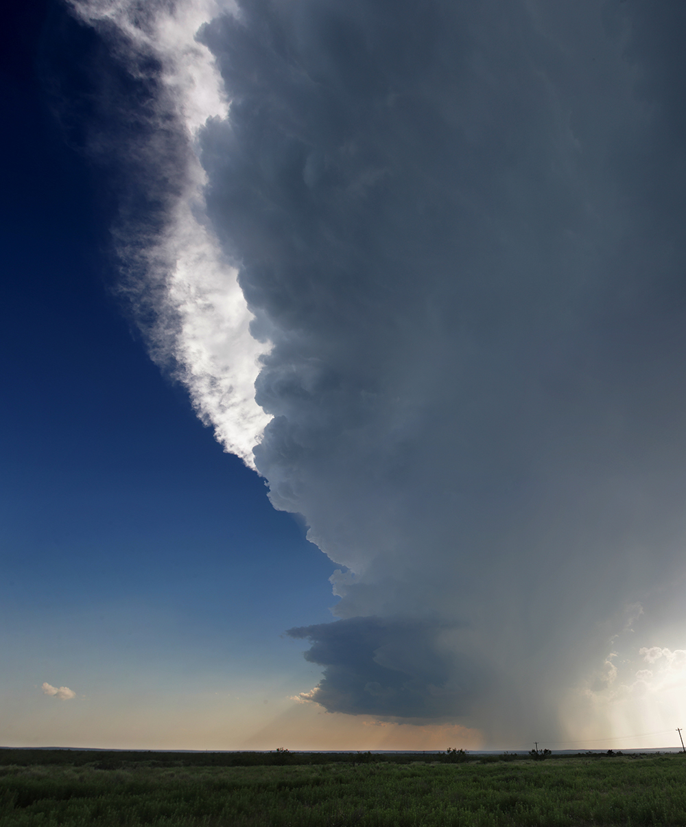
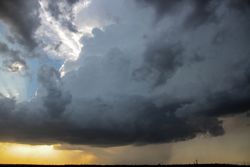
6:19 PM CDT: About 8 miles SW of Paducah, we're pulling off for our first batch of timelapse and aerial shots. The updraft is still about 15 miles to our WSW, but we are stopping just short of its first tendrils of forward flank rain. The cell is still organizing, but already there is near continuous thunder crackling up and down the tower. Surprisingly, the SPC issued a tornado watch about 30 minutes ago - basically because of this one storm. Who knows, if it can find a way to lower its base, we could indeed have a tornado in the next hour.
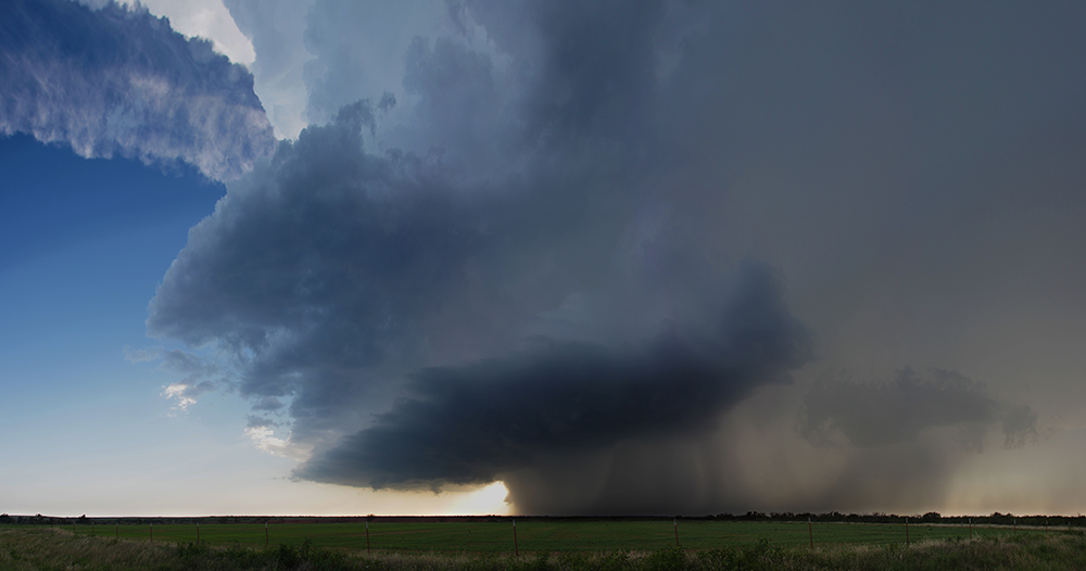
6:43 PM CDT: Moved east to stay out of the rain - now sitting on Hwy 83 just south of Paducah. The storm is definitely a legit supercell with an ESE track - perfect because we can drift south on the highway and stay just under the rain bands while the vault moves to us.
6:56 PM CDT: Cooler, moister air from the FFD is beginning to be drawn back into the updraft - classic precursor to wallcloud formation.
7:10 PM CDT: More rising scud at the updraft base, but still nothing organized enough to be called a wallcloud.
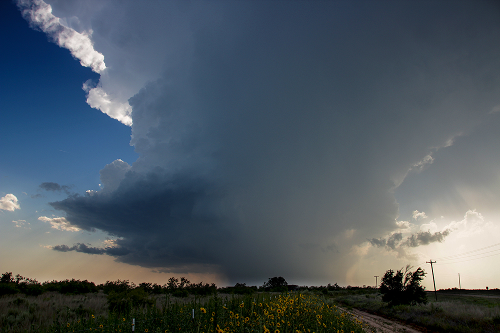
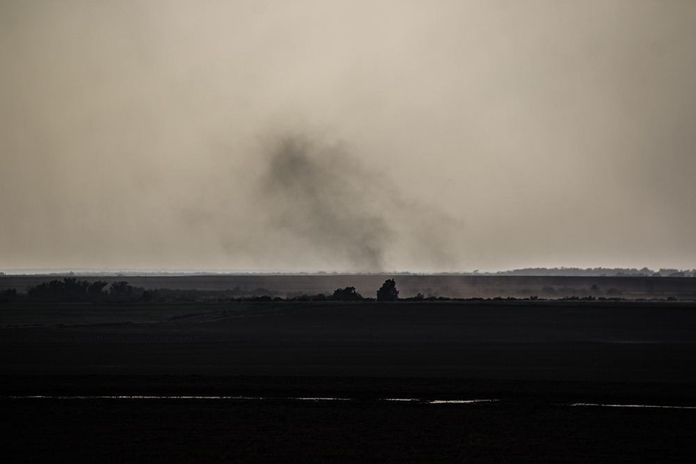
7:21 PM CDT: We are just about a mile from the updraft base now. A very pronounced yet narrow RFD notch is punching into the base with lots of dust picking up off the ground just to our west. It's do or die time for this supercell; it'll either produce or gust out in the next 20 minutes.
7:33 PM CDT: Massive RFD gust front picking up dust, but nothing looks imminently tornadic. Also, a new cell several miles back to the west just got SVR warned. We may have a handoff or merger in the near future.
7:50 PM CDT: Well, cell #1 has passed east of the highway and looks like it's weakening. Cell #2 is looking stronger and stronger. It's also taking an ESE path, so we can just sit here and let it pass just to our north. #LazyChasingIsTheBest
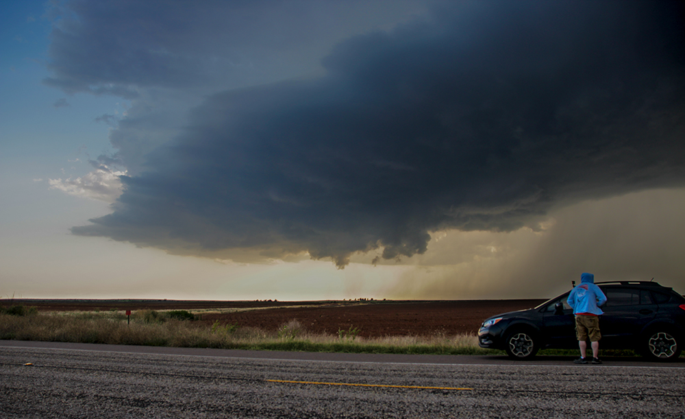
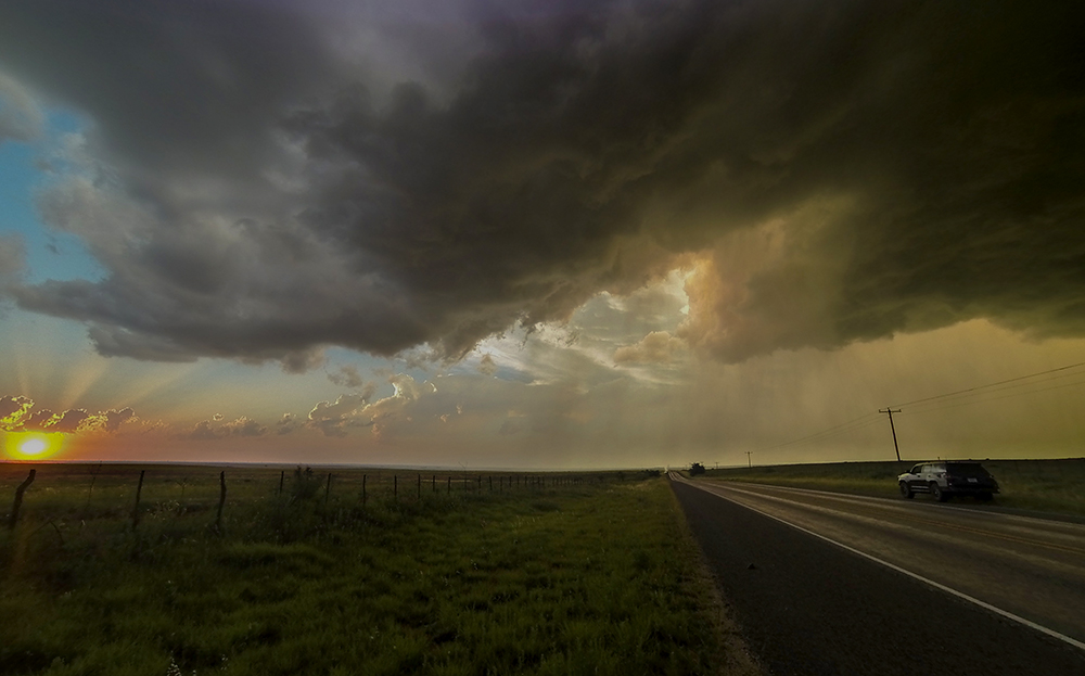
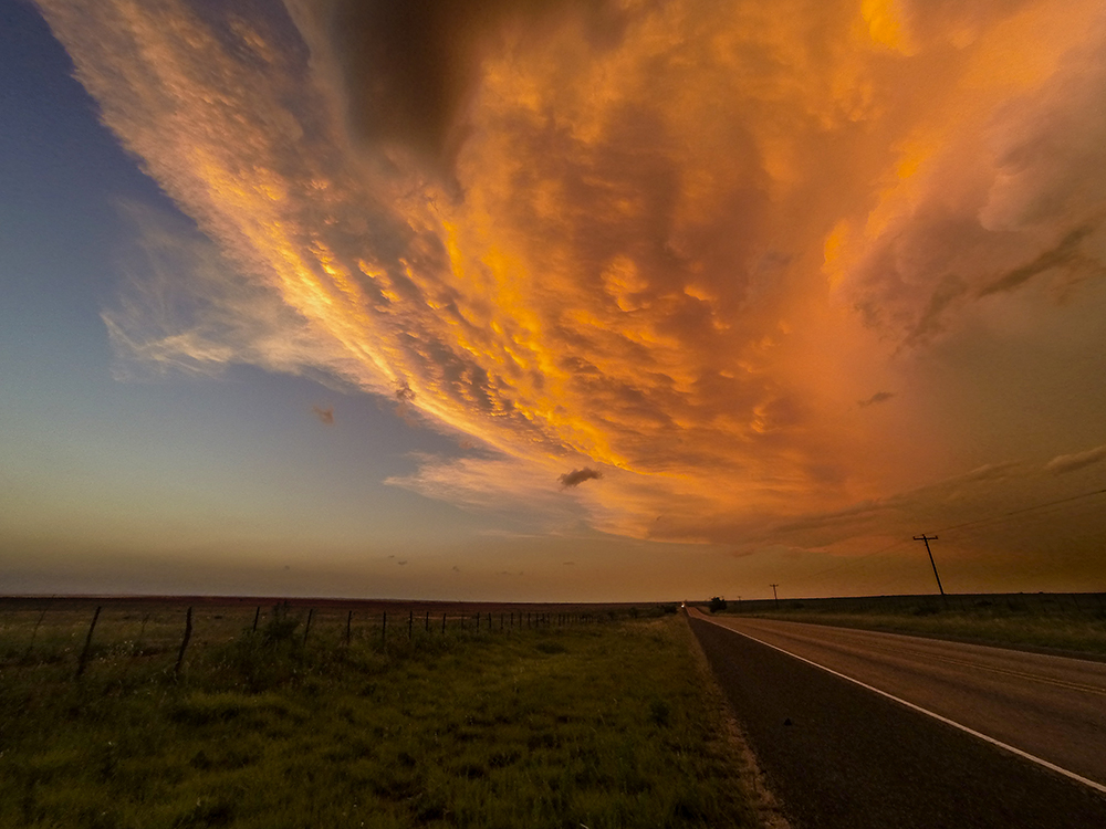
8:15 PM CDT: Got some beautiful, crisp yellow sunlight shining under the base of our second supercell. The base is a few miles to our NE. Doesn't seem to be trying as hard to get any lowerings going.
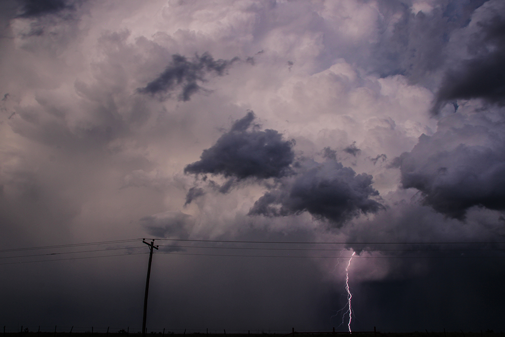
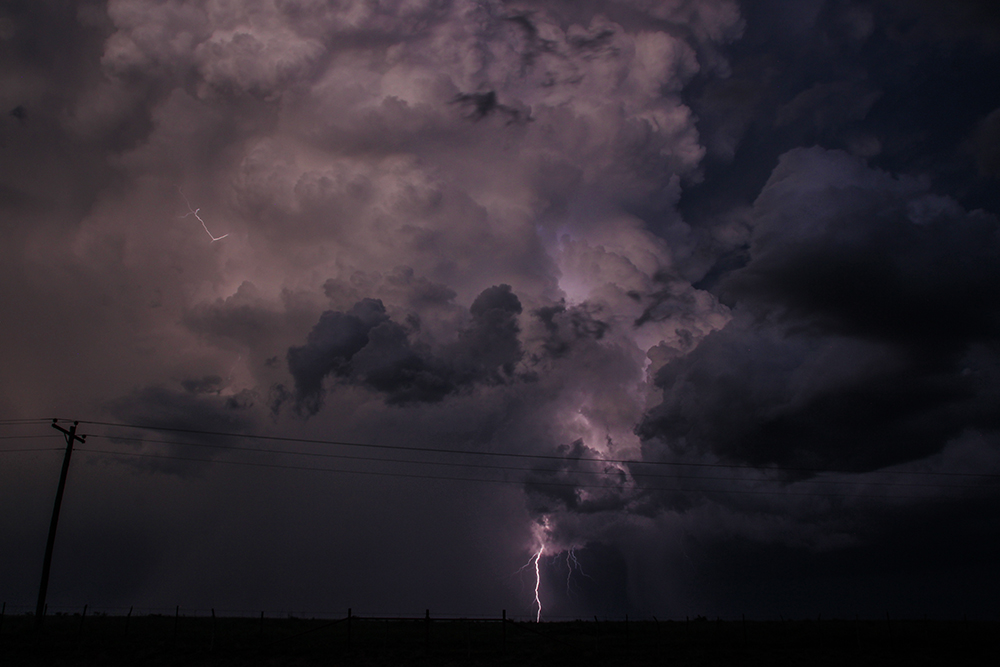
8:30 PM CDT: Continuing to get some motion timelapse, but a lightning barrage sent me into the car. Still no lowering but an RFD cut is forming just to our north.
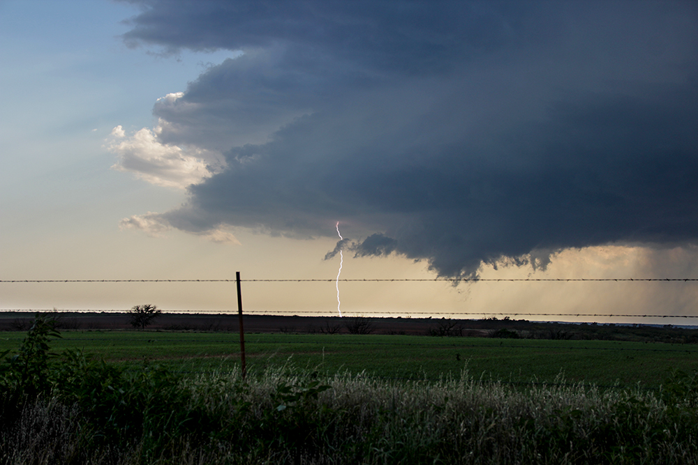
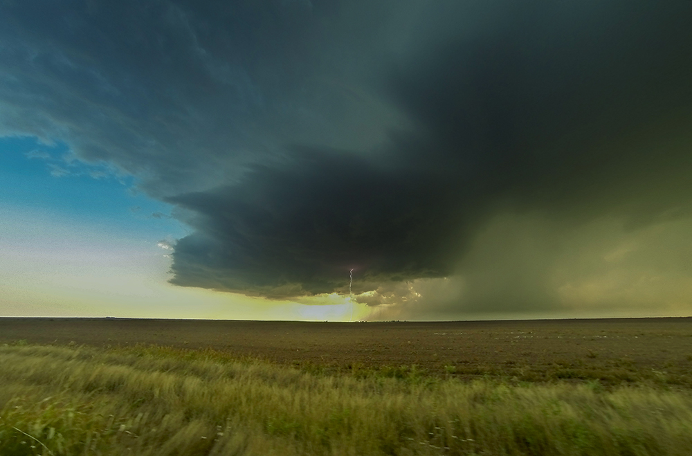
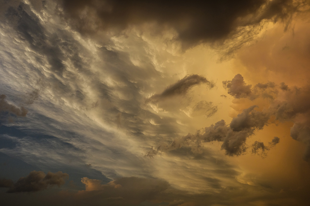
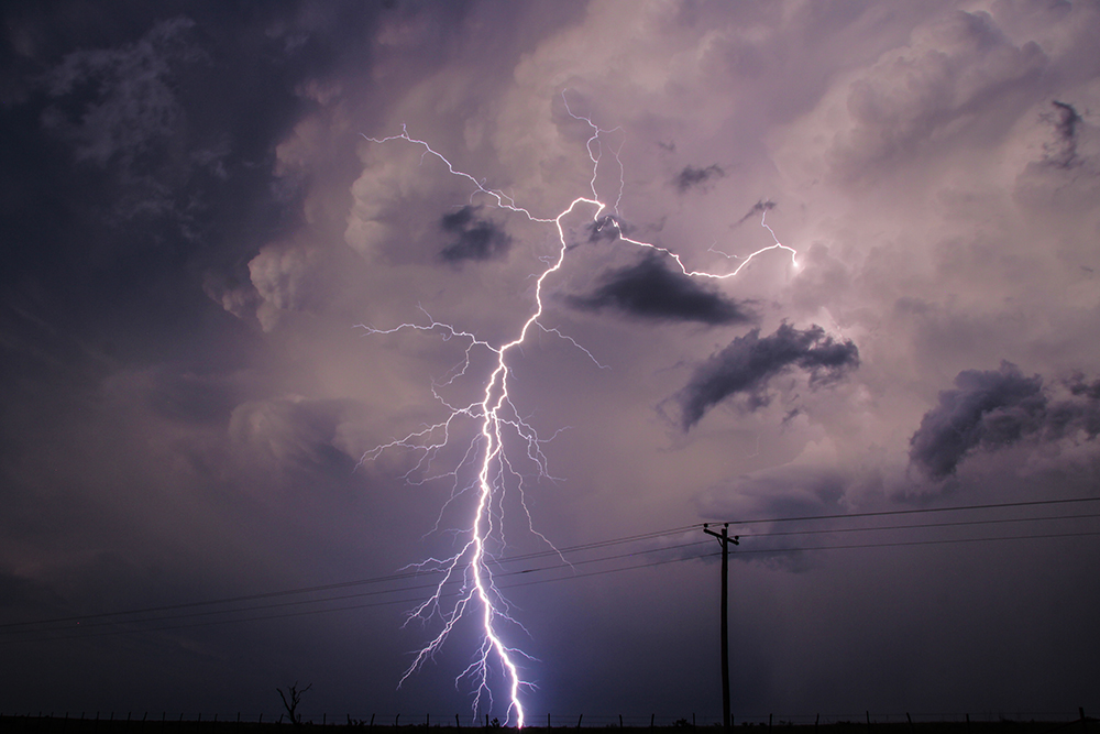
8:59 PM CDT: Supercell #2 is now just a few miles to our east. In the growing twilight overhead is perhaps the most gorgeous anvil I've ever seen. Lightning bolts are shooting sideways from the Cu column before jagging down towards the ground. Hopefully I can snag a good photo or two.
9:05 PM CDT: Just got the best lightning shot of my life!
10:50 PM CDT: After those two amazing supercells, we headed back north to Childress for the night. Just drove into town and there's a massive wreck at the main intersection of town - hope everyone is ok.
Recap, Filmmaking Notes, and Lessons Learned
- Count today as a win for the CAMs, as the NAM4K and HRRR consistently nailed today's evolution.
- Given how localized and slow-moving the storms were today, I would have expected a massive hoard along the highway south of Paducah. But it was only light traffic - maybe 40 or so chasers. That's definitely one advantage of choosing a secondary (or even tertiary) target area.
- Once again, the interface between the inflow and RFD provided a brief, calm window to fly the drone.
- We missed several tornadoes in Iowa and Minnesota today, but I wouldn't trade this chase for anything. It'll go down as one of my favorites of the year. We got everything you can ask for in a storm chase accept the tornado shot.
